0909_2pager
advertisement
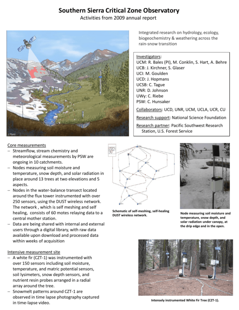
Southern Sierra Critical Zone Observatory Activities from 2009 annual report Integrated research on hydrology, ecology, biogeochemistry & weathering across the rain-snow transition Investigators: UCM: R. Bales (PI), M. Conklin, S. Hart, A. Behre UCB: J. Kirchner, S. Glaser UCI: M. Goulden UCD: J. Hopmans UCSB: C. Tague UNR: D. Johnson UWy: C. Riebe PSW: C. Hunsaker Collaborators: UCD, UNR, UCM, UCLA, UCR, CU Research support: National Science Foundation Research partner: Pacific Southwest Research Station, U.S. Forest Service Core measurements Streamflow, stream chemistry and meteorological measurements by PSW are ongoing in 10 catchments. Nodes measuring soil moisture and temperature, snow depth, and solar radiation in place around 13 trees at two elevations and 5 aspects. Nodes in the water-balance transect located around the flux tower instrumented with over 250 sensors, using the DUST wireless network. The network , which is self meshing and self healing, consists of 60 motes relaying data to a central mother station. Data are being shared with internal and external users through a digital library, with raw data available upon download and processed data within weeks of acquisition Intensive measurement site A white fir (CZT-1) was instrumented with over 150 sensors including soil moisture, temperature, and matric potential sensors, soil lysimeters, snow depth sensors, and nutrient resin probes arranged in a radial array around the tree. Snowmelt patterns around CZT-1 are observed in time lapse photography captured in time-lapse video. Schematic of self-meshing, self-healing DUST wireless network. Node measuring soil moisture and temperature, snow depth, and solar radiation under canopy, at the drip edge and in the open. Intensely instrumented White Fir Tree (CZT-1). Southern Sierra Critical Zone Observatory activities, fall 2009, p 2 Hydrologic modeling RHESSys hydrologic model was calibrated for 4 sub-watersheds in the Southern Sierra CZO. Initial simulations for baseline and 2oC temperature increase show expected reductions in snow water equivalent. RHESSys estimates of spatial pattern of peak SWE for baseline and 2 °C warming scenario Flux tower in watershed P301 Flux tower The tower in watershed P301 has been up and operating for over one year. Data show that photosynthesis in the rain-snow transition did not shut down due to water stress or cold temperatures in water year 2008-2009. Installation of 3 flux towers along an elevation gradient from oak woodland up through red fir is in progress. These locations are expected to become NEON sites in the future. Geochemistry & weathering The first full field season of sampling for physical weathering is nearing conclusion. Sampling has been conducted in several locations in the SSCZO and analysis is under way. Initial analysis of geochemical samples collected on a bi-weekly scale by the Pacific Southwest Research Station staff has commenced. Mixing models analysis of major ions is underway. Major ions, phosphate and dissolved inorganic nitrogen exhibit inter-annual and elevation-gradient trends. Snow-vegetation interactions Synoptic snow surveys have exhibited spatial patterns that depend on the amount of precipitation, incident solar radiation, and canopy structure. Meadow water balance The intensive water balance instrumentation of Long Meadow in 2008 has yielded a 24-hour water balance for the meadow. Stream pool stratification was observed and investigated further, with manuscripts in preparation. Spatial and temporal distributions of soil moisture, using geophysical and point measurements, in the meadow are being analyzed. Lessons learned in Long Meadow are being applied to instrumentation and investigation of the shallow meadow in the KREW watershed P301. Biogeochemistry Sampling for organic carbon in the KREW streams commenced in April 2009. These samples have been collected for the cross-CZO organic carbon study. Litter-layer water and soil nutrient sampling has continued. Initial results indicate that the SSCZO systems are not nitrogen limited.

