Task #3—State Shapes and Boundaries
advertisement
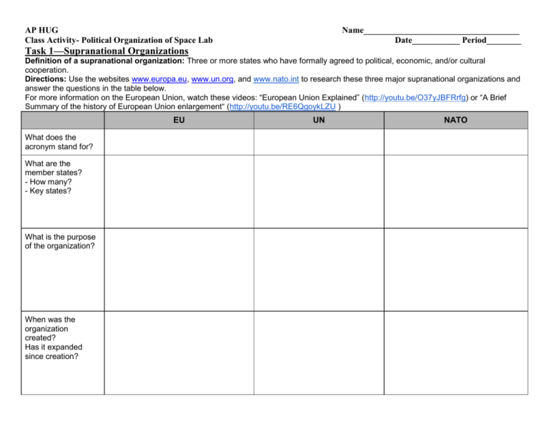
AP HUG Class Activity- Political Organization of Space Lab Name____________________________________ Date___________ Period________ Task 1—Supranational Organizations Definition of a supranational organization: Three or more states who have formally agreed to political, economic, and/or cultural cooperation. Directions: Use the websites www.europa.eu, www.un.org, and www.nato.int to research these three major supranational organizations and answer the questions in the table below. For more information on the European Union, watch these videos: “European Union Explained” (http://youtu.be/O37yJBFRrfg) or “A Brief Summary of the history of European Union enlargement“ (http://youtu.be/RE6QgoykLZU ) EU What does the acronym stand for? What are the member states? - How many? - Key states? What is the purpose of the organization? When was the organization created? Has it expanded since creation? UN NATO EU What are the requirements for membership? Are there any states currently hoping for membership? Is there anything in particular preventing their membership? Since its creation, has the group been successful in its endeavors? Explain why or why not. Do you believe this supranational organization will remain a significant political entitiy? Or, is it declining in its importance? UN NATO Task 2—Geopolitics: World Power Theories 1. Read the information about geopolitical theories and carefully examine the map. Geopolitics: the study of the spatial and territorial dimensions of power relationships Friedrich Ratzel: A 19th C. geographer who theorized that a state has a life cycle with a predictable rise and fall of power. (Now controversial because used by Adolf Hitler to justify attacking weaker states, promoting German nationalism) Heartland Theory (British geographer Sir Halford Mackinder): The idea that a land-based power would ultimately rule the world; a “pivot area” of the earth (Eurasia) holds the resources, both natural, and human, to dominate the globe. Attracted support when Soviet Union emerged as a superpower after WWII. Rimland Theory (Nicholas Spykman, 1944): The key to global power is not the Eurasian heart, but the rim. The rim is the large swath of land encircling the heartland, roughly touching oceans and seas. Rimland theory states that this area is unlikely to fall under any one superpower’s control, which is an important key to keeping a global, geopolitical balance of power. Cold War: Dominated geopolitics from 1945-1991. The competition between two superpowers -- the United States (capitalism, democracy) and the Soviet Union (communism, dictatorship) -- for control of land spaces all over the world. The domino theory stated that if one state in a region came under the influence of communism, then the rest of the region would “fall” to communism as well. Often used to justify U.S. intervention around the world. Questions: 1. How do the heartland and rimland theories relate to the Cold War? 2. How do the heartland, rimland, and domino theories relate to NATO? To the U.N.? Task #3—State Shapes and Boundaries (Territorial Morphology) 1. Color each state on this map according to its shape (see information on the following page). Create a key. 2. In the chart below, list the pros and cons of each shape. State Shapes Hypothesize one advantage to this state shape. Hypothesize one disadvantage to this state shape. Compact States: Distance from the center of the state to any boundary is about the same, giving it a shape similar to a circle. Example: Hungary Elongated States: States that have a long and narrow shape, sometimes because of physical geography, other times for political or economic reasons. Examples: Chile (geographic - follows narrow coastline between Atlantic and Andes Mts.), Gambia Fragmented States: States that have several discontinuous pieces of territory, including any state composed of islands or if a piece of the territory is separated by another state. Examples: Indonesia (islands), India (West Bengal separated from rest of India by Bangladesh) Prorupted State: An otherwise compact state with a large projecting extension. Proruptions often exist in order to reach a natural resource, such as a river or the ocean and sometimes split another country. Example: Democratic Republic of the Congo split a small fragment of Angola (Cabinda) from main country. Perforated State: A state that completely surrounds another one. Example: South Africa (apartheid government separated primarily black Lesotho from rest of country) * * * * * 3. Watch the following videos related to state boundaries and answer the questions. a. Countries Inside Countries: Bizarre Borders Part 1 (http://youtu.be/Vui-qGCfXuA) How could it affect a state to only have one neighbor? b. Canada and the United States: Bizarre Borders Part 2 (http://youtu.be/qMkYlIA7mgw) Why did the author of this video classify the U.S. / Canada border as “bizarre?” 4. Read the information about state boundaries and complete the table below using an atlas or online map. Historically, frontiers rather than boundaries separated states. A frontier is a tangible geographic area that provides an area of separation. A boundary is an infinitely thin, invisible, imaginary line. Almost universally, frontiers between states have been replaced by boundaries. Exceptions: Antarctica and Arabian Peninsula. Physical Boundaries Definition and Types Find three examples from states other than the United States. Describe each specific type of boundary. Coincide with significant features of natural landscape. mountain boundaries - effective if difficult to cross; contact may be limited or impossible; rather permanent and sparsely inhabited desert boundaries - hard to cross, sparsely inhabited water boundaries - readily visible on map; relatively unchanging; typically in the middle of the water; can be good protection from attack; difficulty arises when position of water changes over time; exact location of ocean boundary can be problematic (1983 Law of the Sea - standardized territorial limits for most countries at 12 nautical miles; gave states exclusive rights to fish and other marine life within 200 miles) Cultural Boundaries Follow distribution of cultural characteristics or other “manmade” qualities. geometric boundaries - drawn as straight lines on map. Examples: U.S./Canada, Chad/Libya religious boundaries - when religion is used to select actual boundary line. Example: British partitioned India into Pakistan (Muslim) and India (Hindu) language boundaries: an especially important cultural characteristic for defining boundaries in Europe. Physical Boundaries Pros? Cons? Find three examples within the United States. Cultural Boundaries 5. Study the “Walls of the World” infographic on the left. Choose ONE wall and write a short paragraph that explains why it exists and any current issues associated with it. The info graphic can also be found at the website below http://www.pinterest.com/pin/555772410237132596/ Task 4—Electoral Geography and Gerrymandering Electoral geography: study of the spatial configuration of electoral districts and voting patterns that emerge in particular elections reflect and influence social and political affairs. Territorial representation: representatives are elected from a territorially defined district - US Constitution established territorial representation with US House of Representatives. Reapportionment: process by which districts are moved according to population shifts so each district encompasses approximately the same number of people. In House of Reps., the total number of reps. per state may be reapportioned based on population shift (435 total reps). Redistricting: changing boundaries of districts at the state level to ensure districts are equally populated. Splitting: process of dividing minority groups among several districts to ensure majority population of state holds majority in each district 1965 Voting Rights Act: amended in 1982 to outlaw districts that have the effect of weakening minority voting power. Majority-minority districts: packed districts in which a majority of the population is from the minority (redistricting to maximize minority rep.). Gerrymandering: term used to describe “redistricting for advantage” - unusually shaped districts designed to provide representation to minorities for better representation in the House of Reps. Directions: Watch the following clip and answer the questions below: http://ed.ted.com/lessons/gerrymandering 1. Explain the history behind the term “gerrymander.” 2. Describe the two ways to “gerrymander” a district. Directions: Watch the following clip and answer the question below: http://www.youtube.com/watch?v=Mky11UJb9AY 3. What are the 3 ways to prevent gerrymandering when redistricting? Directions: Watch the following clip and answer the questions below: MSNBC - Voting Rights Act majority-minority districts 4. What led to the significant increase in the number of African Americans and Hispanics elected to the House in the 1992 elections? 5. How can the amendment to the Voting Rights Act to create more majority-minority districts be used to actually weaken the representation of minorities? Extra Time? Click on either of the links below (redistricting game: choose to play the Basic level of “Mission 4: Voting Rights Act”) http://redistrictinggame.org/ OR http://www.slate.com/gerrymandering jigsaw puzzle
