Chapter 8 - WH Freeman
advertisement
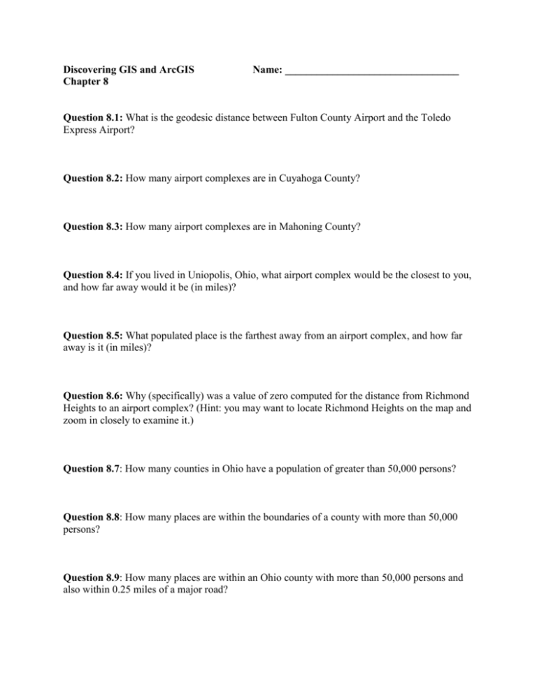
Discovering GIS and ArcGIS Chapter 8 Name: _________________________________ Question 8.1: What is the geodesic distance between Fulton County Airport and the Toledo Express Airport? Question 8.2: How many airport complexes are in Cuyahoga County? Question 8.3: How many airport complexes are in Mahoning County? Question 8.4: If you lived in Uniopolis, Ohio, what airport complex would be the closest to you, and how far away would it be (in miles)? Question 8.5: What populated place is the farthest away from an airport complex, and how far away is it (in miles)? Question 8.6: Why (specifically) was a value of zero computed for the distance from Richmond Heights to an airport complex? (Hint: you may want to locate Richmond Heights on the map and zoom in closely to examine it.) Question 8.7: How many counties in Ohio have a population of greater than 50,000 persons? Question 8.8: How many places are within the boundaries of a county with more than 50,000 persons? Question 8.9: How many places are within an Ohio county with more than 50,000 persons and also within 0.25 miles of a major road? Question 8.10: How many places are within an Ohio county with more than 50,000 persons, within 0.25 miles of a major road, and also more than 35 miles away from an existing airport complex? Question 8.11: What are the names of these places (in Question 8.10)? Which are classified as cities and which are classified as villages? Question 8.12: What county is each of these places (from Question 8.11) located in? Question 8.13: For the potential places, what is the closest airport to each one of them, and how far (in miles) is the airport from them? Question 8.14: How many Ohio airport complexes are within 100 miles of the chosen site? Question 8.15: How many populated places are within 35 miles of the chosen site? Step 8.6: Print a layout or publish a Web map of the final results.
