National Parks and Absolute Location - Miami University
advertisement
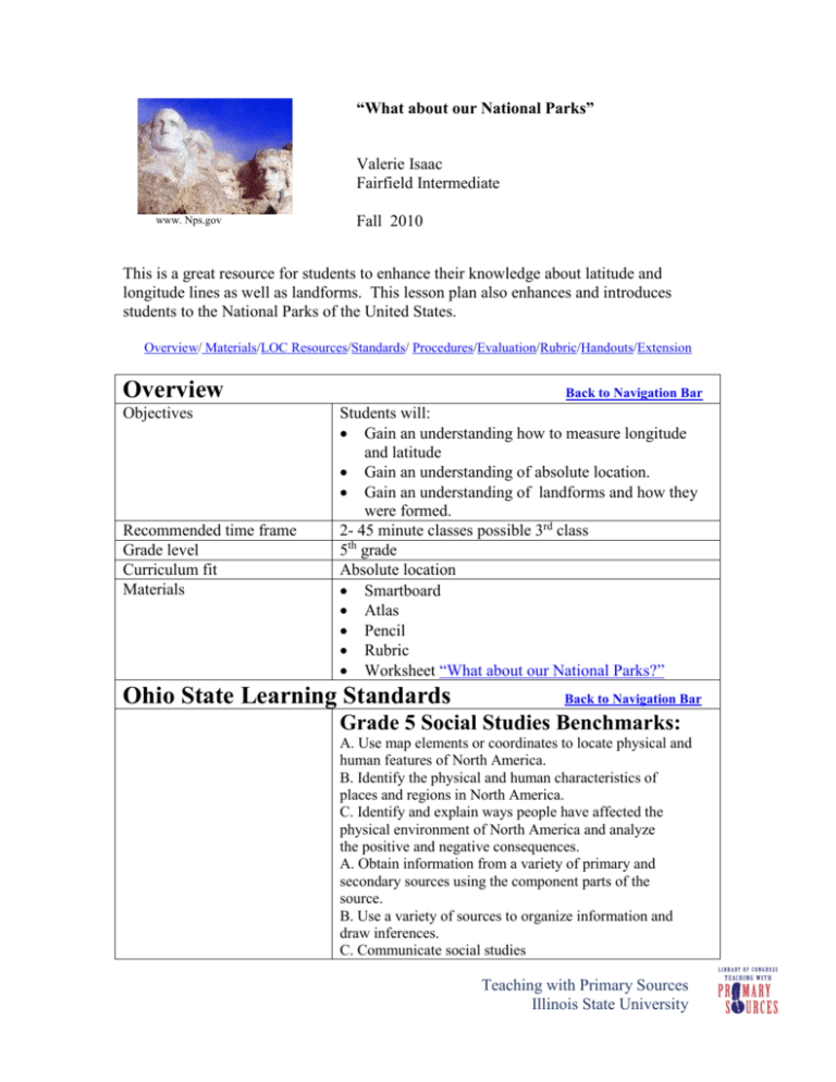
“What about our National Parks” Valerie Isaac Fairfield Intermediate www. Nps.gov Fall 2010 This is a great resource for students to enhance their knowledge about latitude and longitude lines as well as landforms. This lesson plan also enhances and introduces students to the National Parks of the United States. Overview/ Materials/LOC Resources/Standards/ Procedures/Evaluation/Rubric/Handouts/Extension Overview Objectives Recommended time frame Grade level Curriculum fit Materials Back to Navigation Bar Students will: Gain an understanding how to measure longitude and latitude Gain an understanding of absolute location. Gain an understanding of landforms and how they were formed. 2- 45 minute classes possible 3rd class 5th grade Absolute location Smartboard Atlas Pencil Rubric Worksheet “What about our National Parks?” Ohio State Learning Standards Back to Navigation Bar Grade 5 Social Studies Benchmarks: A. Use map elements or coordinates to locate physical and human features of North America. B. Identify the physical and human characteristics of places and regions in North America. C. Identify and explain ways people have affected the physical environment of North America and analyze the positive and negative consequences. A. Obtain information from a variety of primary and secondary sources using the component parts of the source. B. Use a variety of sources to organize information and draw inferences. C. Communicate social studies Teaching with Primary Sources Illinois State University information using graphs or tables. D. Use problem-solving skills to make decisions individually and in groups. Grade Five Social Studies Indicators: Location 1. Use coordinates of latitude and longitude to determine the absolute location of points in North America. 2. Use maps to identify the location of: a. The three largest countries of North America; b. The 50 states of the United States; c. The Rocky and Appalachian mountain systems; d. The Mississippi, Rio Grande and St. Lawrence rivers; e. The Great Lakes. Places and Regions 3. Describe and compare the landforms, climates, population, culture and economic characteristics of places and regions in North America. Procedures Back to Navigation Bar Day One: Ask students to raise their hand if they have ever visited a National Park. If so, allow the learner to tell about their experience. Give background info how the National Park system developed in the United States. On Smartboard, have the National Parks website.www.nps.gov Navigate the site so the learners can become familiar with the information provided on the site. Handout atlas On pages 3-4 review landforms with students. Day Two: Do a quick review of day one’s lesson. On Smartboard, pull up www.nps.gov website. Handout worksheet. Read and discuss directions of worksheet. Assign as independent work. A third day may be needed to complete assignment. Evaluation Back to Navigation Bar Students will turn in worksheet and teacher and the teacher will assign a different student to evaluate the worksheet using the rubric provided. Extension Back to Navigation Bar Students may create a model of a National Park. Teaching with Primary Sources Illinois State University Students may concentrate on one National Park and research environmental issues that a National Park may face. Primary Resources from the Library of Congress Back to Navigation Bar Resource Table Images Description Mt. Rushmore Citation www.nps.gov URL http://www.nps.gov/a mericasbestidea/ Great Smokey Mountain National Park, cliffs, taken before 1934, Great Smoky Mountain National Park, TN Courtesy of the Frances Loeb Library, Graduate School of Design, Harvard University http://memory.loc.gov /cgibin/query/r?ammem/a lad:@field(yDOCID+ @lit(alad001879)) Water gushing from glacier Lamplugh in Glacier Bay www.nps.gov http://www.nps.gov/a mericasbestidea/ Teaching with Primary Sources Illinois State University Old Faithful Yellowstone National Park Western History/Genealogy Department, Denver Public Library http://memory.loc.gov /cgibin/query/r?ammem/h awp:@field(NUMBE R+@band(codhawp+ 00137705)) View of the Grand Canyon Lee, Russell, 19031986, http://memory.loc.gov /cgibin/query/r?ammem/f saall:@field(NUMBE R+@band(fsa+8b264 40)) View of sandstone formations Arches National Park Beam, George L. 1868-1935. http://memory.loc.gov /cgibin/query/r?ammem/h awp:@field(NUMBE R+@band(codhawp+ 00135744) Carlsbad Caverns www.nps.gov http://www.nps.gov/a mericasbestidea/ Flordia Everglades Library of Congress, http://memory.loc.gov/ Prints and cgiPhotographs Division, bin/query/r?ammem/d Detroit Publishing etr:@field(NUMBER Company Collection +@band(det+4a24101 ))</permanent_url>-> Teaching with Primary Sources Illinois State University Rubric Back to Navigation Bar Name______________________ Period_____ “What about Our National Parks Rubric” o Longitude o Latitude o Landforms (At least three landforms listed for each National Park) Teaching with Primary Sources Illinois State University Handouts Back to Navigation Bar Insert each handout as a separate page so that it can be printed for student use. We have provided four blank pages for you to copy and paste your student handouts. Name____________________________Period_ ___ “What about Our National Parks?” Below you find several pictures of National Parks that are located in the United States. Using a atlas, complete the table below. National Park Latitude/Longitude Landforms Mount Rushmore Great Smokey Mountains Glacier Bay Teaching with Primary Sources Illinois State University Yellowstone Latitude/Longitude Landforms Grand Canyon Arches National Park Carlsbad Caverens Teaching with Primary Sources Illinois State University Teaching with Primary Sources Illinois State University
