Full Presentation - Nuclear Sciences and Applications
advertisement
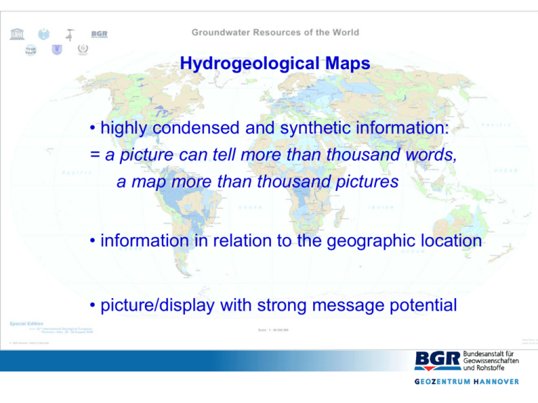
Hydrogeological Maps • highly condensed and synthetic information: = a picture can tell more than thousand words, a map more than thousand pictures • information in relation to the geographic location • picture/display with strong message potential The World-wide Hydrogeological Mapping and Assessment Programme ( WHYMAP ) Key ideas • From regional and continental to global • Harmonised view of groundwater resources • Contribution to World Heritage Programme • International Cooperation • Wall map, booklet and Web application WHYMAP World-wide Hydrogeological Mapping & Assessment Programme UNESCO Water Sciences IHP Earth Sciences IGCP IAH Council + Commissions National Chapters Main Players since 2000 CGMW Continental Subcommissions Regional VicePresidents COHYM Commission on Hydrogeological Maps SC-HYM Subcommission on Hydrogeological Maps IAEA Isotope Hydrology Section + others, e.g. IGRAC, GRDC, Universities etc major hydrogeological units Hydogeological maps of continents WHYMAP Network UNESCO regional offices IHP National Committees Consortium Steering Committee WHYMAP executing unit Isotope Hydrology Section Petra International programmes, organisations, institutions IAH Commissions National Committees CGMW Döll GPCC VicePresidents (8 regions) GRDC IGRAC Regional organisations, e.g. OSS, SADC, OAS .. regional VicePresidents Individual freelance contributors groundwater resources maps 1/50 M & 1/25 M WHYMAP GIS Web-Mapping application for visualisation/distribution of WHYMAP data & information pool on hydrogeological mapping explanatory notes / booklet interactive CD-ROM small sketch-maps for publications, ... WHYMAP GIS Topography Geology IGC Florence August 2004 1. Special Edition Groundwater Map of the World Aquifers Check, correct, complete GW Abstraction GW Quality Relation GW – surface w. GW Recharge 4.WWForum Mexico 2006 Age of groundwater Web mapping application 2. Special Edition Transboundary Aquifer Systems of the World Check, correct, International Geological Congress Oslo 2008 complete Groundwater Map of the World 1 : 25 000 000 Groundwater Map of the World 1 : 50 000 000, Special Edition for the IGC Florence, August 2004 Explanations on the back Global Map of Transboundary Aquifer Systems www.whymap.org First results of WHYMAP • first global draft on regional hydrogeological setting • range of aquifer types different on the continents • Percentages … Extracted from the WHYMAP Groundwater Resources Map of the World First results of WHYMAP • first global draft on regional hydrogeological setting • range of aquifer types different on the continents • nearly all important aquifers and groundwater systems are trans-boundary (cut by political borders) • Transboundary Aquifer Systems Source: UNESCO / ISARM 2001 First results of WHYMAP • first global draft on regional hydrogeological setting • range of aquifer types different on the continents • nearly all important aquifers and groundwater systems are trans-boundary (cut by political borders) • river basin boundaries often different from aquifer boundaries First results of WHYMAP • first global draft on regional hydrogeological setting • range of aquifer types different on the continents • nearly all important aquifers and groundwater systems are trans-boundary (cut by political borders) • river basin boundaries often different from aquifer boundaries • global recharge distribution Mean annual groundwater recharge Quelle: Döll et al., 2003 Overlay of Hydrogeological Environments ( WHYMAP ) and Recharge from WaterGAP ( Döll et al.) The world‘s largest aquifer systems Great Artesian Basin, Australia Nubian Sandstone Aquifer System, NE-Africa Regional distribution of global freshwasser - resources Exact figures? Quelle: Igor A. Shiklomanov, State Hydrological Institute (SHI, St. Petersburg) and UNESCO (Paris), 1999.
