View PDF - Latexo ISD
advertisement
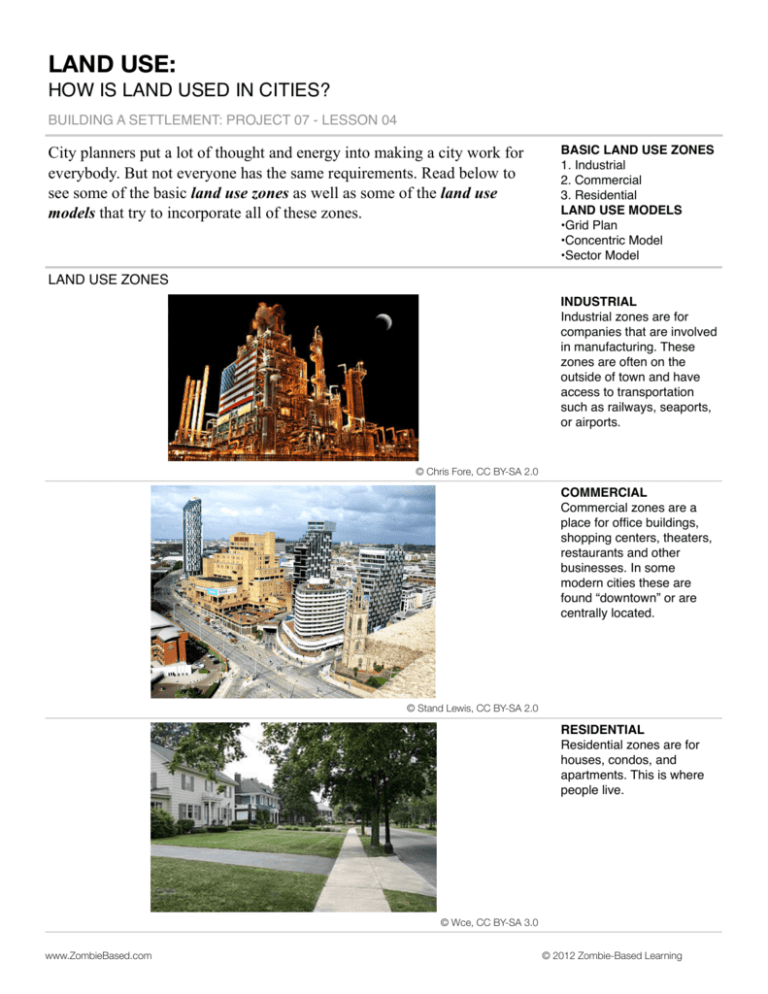
LAND USE: HOW IS LAND USED IN CITIES? BUILDING A SETTLEMENT: PROJECT 07 - LESSON 04 City planners put a lot of thought and energy into making a city work for everybody. But not everyone has the same requirements. Read below to see some of the basic land use zones as well as some of the land use models that try to incorporate all of these zones. BASIC LAND USE ZONES 1. Industrial 2. Commercial 3. Residential LAND USE MODELS •Grid Plan •Concentric Model •Sector Model LAND USE ZONES INDUSTRIAL Industrial zones are for companies that are involved in manufacturing. These zones are often on the outside of town and have access to transportation such as railways, seaports, or airports. ! © Chris Fore, CC BY-SA 2.0 COMMERCIAL Commercial zones are a place for office buildings, shopping centers, theaters, restaurants and other businesses. In some modern cities these are found “downtown” or are centrally located. © Stand Lewis, CC BY-SA 2.0 RESIDENTIAL Residential zones are for houses, condos, and apartments. This is where people live. © Wce, CC BY-SA 3.0 www.ZombieBased.com © 2012 Zombie-Based Learning LAND USE MODELS GRID PLAN A grid plan uses right angles and sets the streets out as a grid. Cities have used a grid of straight streets for as long as cities have existed. Grid plans can be helpful for navigating and planning, but they can be costly and don’t take into consideration the natural topography of a location. © Stefan Kühn, CC BY-SA 3.0 CONCENTRIC MODEL The concentric zone model was created by Ernest Burgess in 1924. It is sometimes referred to as the “Burgess” model. This model has a Central Business District in the middle, surrounded by industrial factories. There is a transition space between the residences of workers and then more expensive and nice residential areas. The outer area is for people who commute or drive to work. SECTOR MODEL The sector theory or Hoyt Model was created by Homer Hoyt in 1939. This model also has a Central Business District (CBD), but includes transportation routes into the city. Hoyt observed that lower cost housing was often along these transportation routes. High class residences often lined geographical features such as a waterfront or river. ! www.ZombieBased.com © 2012 Zombie-Based Learning

