Chapter 3: Weather Map Weather Maps The Station Model
advertisement
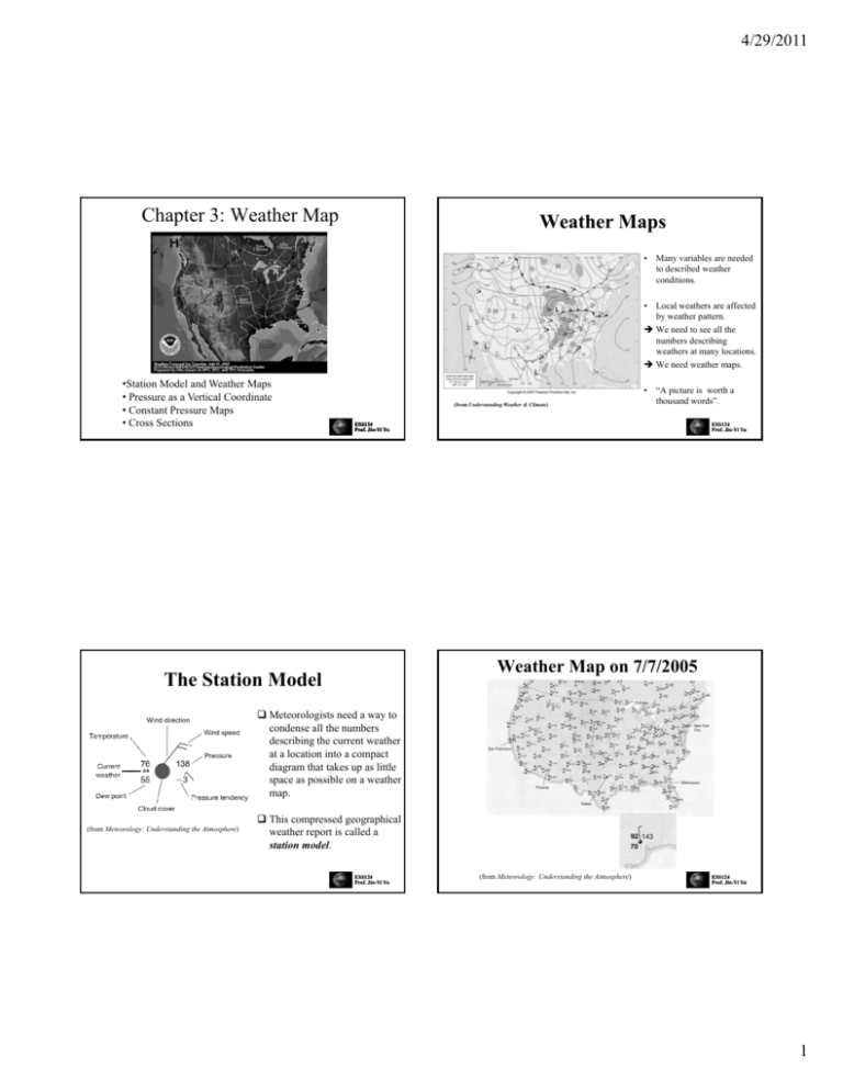
4/29/2011 Chapter 3: Weather Map Weather Maps • Many variables are needed to described weather conditions. • Local weathers are affected by weather pattern. pattern Î We need to see all the numbers describing weathers at many locations. Î We need weather maps. •Station Model and Weather Maps • Pressure as a Vertical Coordinate • Constant Pressure Maps • Cross Sections • (from Understanding Weather & Climate) “A picture is worth a thousand words”. ESS124 Prof. Jin Jin--Yi Yu ESS124 Prof. Jin Jin--Yi Yu Weather Map on 7/7/2005 The Station Model Meteorologists need a way to condense all the numbers describing the current weather at a location into a compact g that takes upp as little diagram space as possible on a weather map. (from Meteorology: Understanding the Atmosphere) This compressed geographical weather report is called a station model. ESS124 Prof. Jin Jin--Yi Yu (from Meteorology: Understanding the Atmosphere) ESS124 Prof. Jin Jin--Yi Yu 1 4/29/2011 The Station Model: Cloudiness Isobar • It is useful to examine horizontal pressure differences across space. • Pressure maps depict isobars, lines of equal pressure. • Through analysis of isobaric charts, pressure gradients are apparent. • Steep (weak) pressure gradients are indicated by closely (widely) spaced isobars. ESS124 Prof. Jin Jin--Yi Yu The Station Model: Wind (Northeasterly wind) (from Meteorology: Understanding the Atmosphere) ESS124 Prof. Jin Jin--Yi Yu The Station Model: Pressure Wind speed is indicated to the right (left) side of the coming wind vector in the Northern (Southern) Hemisphere The pressure value shown is the measured atmospheric pressure adjusted to sea level. The units used are “mb”. 50 5 10 15 Wind speeds are indicated in units of “knot”. 1 international knot = 1 nautical mile per hour (exactly), = 1.852 kilometer per hour (exactly), = 0.514 meters per second, = 1.15077945 miles per hour (approximately) To save space, the “thousand” and the “hundred” values, and the decimal point are dropped. Î So “138” means 1013.8 mb To decode the value of pressure on the station model, add a 9 if the first number is 6, 7, 8, or 9; otherwise add a 10. ESS124 Prof. Jin Jin--Yi Yu ESS124 Prof. Jin Jin--Yi Yu 2 4/29/2011 Pressure Correction for Elevation The Station Model: Pressure Tendency The change in surface pressure in the past three hours is plotted numerically and graphically on the lower right of the station model. • Pressure decreases with height. • Recording actual pressures may be misleading as a result. • All recording stations are reduced to sea level pressure equivalents to facilitate horizontal comparisons. • Near the surface, the pressure decreases about 100mb by moving 1km higher in elevation. The pressure rose and then fell over the past three hours, a total change of 0.3 mb. ESS124 Prof. Jin Jin--Yi Yu ESS124 Prof. Jin Jin--Yi Yu The Station Model: Significant Weather The Station Model: Dew Point Temperature Dew point temperature (in united of ºF if reported in the US)) indicates the moisture U content. A higher value indicates a larger amount of moisture. ESS124 Prof. Jin Jin--Yi Yu • There are over a hundred symbols for various weather conditions. • If no symbol is plotted, no significant weather condition is occurring at the station. ESS124 Prof. Jin Jin--Yi Yu 3 4/29/2011 Contour Lines on Weather Maps Pressure As a Vertical Coordinate • Each altitude above a point on the Earth’s surface has a unique value of pressure. • Pressure can be easily substituted for altitude as a coordinate to specify locations in the vertical. isotherm • Rawinsondes determine the height of the instrument above Earth’s surface by measuring pressure. isobar • Because aircraft fly on constant pressure surfaces, upper air weather maps, first used extensively during World War II, traditionally have been plotted on constant pressure surface. isodrosotherm • Meteorologists draw lines connecting points on weather maps with the same values of temperature (isotherm), pressure (isobar), dewpoint temperature (isodrosotherm), or ESS124 Prof. Jin Jin--Yi Yu other quantities to simply interpretation of data on the maps. • Fluid dynamics theories and equations that explain atmospheric motions are often in a more concise forms when they use pressure as a vertical coordinate. ESS124 Prof. Jin Jin--Yi Yu Height (Pressure) Map at a Constant Pressure (Height) Pressure Surface • Since the atmosphere in the polar regions is cold and the tropical atmosphere is warm, all pressure surfaces in the troposphere slope downward from the tropics to the polar regions. • A pressure surface is a surface above the ground where the pressure has a specific value, such as 700mb. • Constant pressure surfaces slope downward from the warm to the cold side. • Since the atmosphere in the polar regions is cold and the tropical atmosphere is cold, all pressure surfaces in the troposphere slope downward from the tropics to the polar regions. ESS124 Prof. Jin Jin--Yi Yu At 500mb • The pressure information on a constant altitude allow us to visualize where high- and low-pressure centers are located. • The height information on a constant pressure surface convey the same information. At 5700m • The intensity of the pressure (or height) gradients allow us to infer the strength of the winds. ESS124 Prof. Jin Jin--Yi Yu 4 4/29/2011 Upper-Level Weather Maps Station Model in UpperUpper-Level Weather Maps Upper-Level Station Model Decameter = a metric unit of length equal to 10 meters. • Meteorologists use height maps at constant pressure levels to describe weather conditions in the upper atmosphere. • On constant pressure maps, we can infer a strong pressure gradient exists where a strong height gradient exists. • Height maximum Î high pressure. ESS124 Prof. Jin Jin--Yi Yu • Height minimum Î low pressure. Surface Station Model ESS124 Prof. Jin Jin--Yi Yu Example: A 850mb Weather Map Other Upper Upper--Level Weather Maps Stations whose pressure are less than (i.e. above) 850mb • 850mb: to identify fronts • 700mb: intersects many clouds; moisture information is important • 500mb: used to determine the location of short waves and long waves associated with the ridges and troughs in the flow pattern. Meteorologists examine “vorticity” (i.e. rotation of air) on this pressure level. • 300, 250, and 200mb: near the top of the troposphere or the lower stratosphere; these maps are used to identify the location of jetsreams that steer the movements of mid-latitude storms. ESS124 Prof. Jin Jin--Yi Yu • The 850mb map is particularly useful to identify the location of fronts. • In this example, a low-level jet is seen flowing parallel to the cold front ESS124 extending from New Mexico to Wisconsin. Prof. Jin Jin--Yi Yu 5 4/29/2011 Example: A 300mb Weather Map Example: 500mb Weather Map jetstreaks isotachs • The 850mb map is particularly useful to identify the location of jetsreams. • In this example, a jetstream flows northeastward from the west cost of the US, into the Great Lakes, and to the Atlantic Coast of Canada. ESS124 Prof. Jin Jin--Yi Yu • The 500mb surface, which is in the center of the troposphere, is typically the altitude meteorologists use to examine vorticity pattern. ESS124 Prof. Jin Jin--Yi Yu Vorticity • Vorticity is the tendency for elements of the fluid to "spin.“. Three Sources of Vorticity • Vorticity can be related to the amount of “circulation” or "rotation" (or more strictly, the local angular rate of rotation) in a fluid. fluid • Definition: Absolute Vorticity Î Relative Vorticity Î ESS124 Prof. Jin Jin--Yi Yu ESS124 Prof. Jin Jin--Yi Yu 6 4/29/2011 Vorticity-Related Flow Patterns Shear Vorticity Curvature Vorticity Even straight-line motion may have vorticity if the speed changes normal to the flow axis. (a) 300mb isotachs; (b) 300mb geopotential hights ESS124 Prof. Jin Jin--Yi Yu 7


![Jiye Jin-2014[1].3.17](http://s2.studylib.net/store/data/005485437_1-38483f116d2f44a767f9ba4fa894c894-300x300.png)
