Part 1/Geography - Ms. Stiles' 7th grade World Geography
advertisement
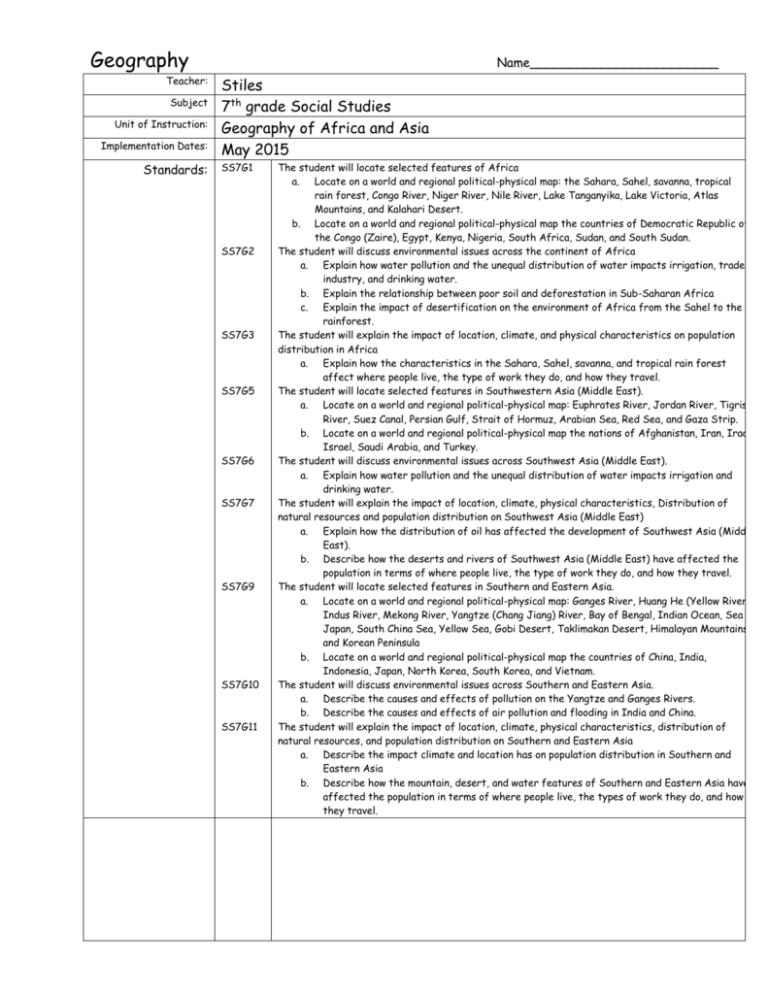
Geography Teacher: Subject Unit of Instruction: Implementation Dates: Standards: Name________________________ Stiles 7th grade Social Studies Geography of Africa and Asia May 2015 SS7G1 SS7G2 SS7G3 SS7G5 SS7G6 SS7G7 SS7G9 SS7G10 SS7G11 The student will locate selected features of Africa a. Locate on a world and regional political-physical map: the Sahara, Sahel, savanna, tropical rain forest, Congo River, Niger River, Nile River, Lake Tanganyika, Lake Victoria, Atlas Mountains, and Kalahari Desert. b. Locate on a world and regional political-physical map the countries of Democratic Republic of the Congo (Zaire), Egypt, Kenya, Nigeria, South Africa, Sudan, and South Sudan. The student will discuss environmental issues across the continent of Africa a. Explain how water pollution and the unequal distribution of water impacts irrigation, trade, industry, and drinking water. b. Explain the relationship between poor soil and deforestation in Sub-Saharan Africa c. Explain the impact of desertification on the environment of Africa from the Sahel to the rainforest. The student will explain the impact of location, climate, and physical characteristics on population distribution in Africa a. Explain how the characteristics in the Sahara, Sahel, savanna, and tropical rain forest affect where people live, the type of work they do, and how they travel. The student will locate selected features in Southwestern Asia (Middle East). a. Locate on a world and regional political-physical map: Euphrates River, Jordan River, Tigris River, Suez Canal, Persian Gulf, Strait of Hormuz, Arabian Sea, Red Sea, and Gaza Strip. b. Locate on a world and regional political-physical map the nations of Afghanistan, Iran, Iraq, Israel, Saudi Arabia, and Turkey. The student will discuss environmental issues across Southwest Asia (Middle East). a. Explain how water pollution and the unequal distribution of water impacts irrigation and drinking water. The student will explain the impact of location, climate, physical characteristics, Distribution of natural resources and population distribution on Southwest Asia (Middle East) a. Explain how the distribution of oil has affected the development of Southwest Asia (Middle East). b. Describe how the deserts and rivers of Southwest Asia (Middle East) have affected the population in terms of where people live, the type of work they do, and how they travel. The student will locate selected features in Southern and Eastern Asia. a. Locate on a world and regional political-physical map: Ganges River, Huang He (Yellow River), Indus River, Mekong River, Yangtze (Chang Jiang) River, Bay of Bengal, Indian Ocean, Sea of Japan, South China Sea, Yellow Sea, Gobi Desert, Taklimakan Desert, Himalayan Mountains, and Korean Peninsula b. Locate on a world and regional political-physical map the countries of China, India, Indonesia, Japan, North Korea, South Korea, and Vietnam. The student will discuss environmental issues across Southern and Eastern Asia. a. Describe the causes and effects of pollution on the Yangtze and Ganges Rivers. b. Describe the causes and effects of air pollution and flooding in India and China. The student will explain the impact of location, climate, physical characteristics, distribution of natural resources, and population distribution on Southern and Eastern Asia a. Describe the impact climate and location has on population distribution in Southern and Eastern Asia b. Describe how the mountain, desert, and water features of Southern and Eastern Asia have affected the population in terms of where people live, the types of work they do, and how they travel. Curriculum Layers Layer A: Basic knowledge and core understandings. The student builds on his/her current level of basic information and knowledge. Maximum 70 pts. in this section Student Unit Learning Activities 1. 2. 3. 4. 5. 6. Layer B: Application or manipulation of the information learned in the Layer A. Problem solving or higher order thinking tasks. Maximum 30 points in this section. Make flash cards using the vocabulary words on the Vocabulary List. Write a story about a visit to one of the landforms from G1a, G5a, or G9a. Your story must be at least 150 words and can be handwritten or typed. Read pp. 11-30, pp. 75-86, and pp. 127-144 in your Test Prep book. Answer questions #1-75, #221-252, and #366-425. This will be graded for accuracy! Make a collage consisting of pictures depicting landforms and countries listed in the standards. You may print these from websites. You must have at least 20 pictures to get full points. Search the internet. Summarize an article about one of the countries in G1b, G5b, or G9b. The topic of the article MUST be about the geography of the country. Your summary must be at least 150 words. Your article must come from a magazine, newspaper, or other news site (in other words – NOT an encyclopedia). You must include a copy of the article with your summary in order to get full points. Create an account at https://getkahoot.com. Then create a 10 question multiple choice quiz review game about G2, G6, and G10. The questions should be challenging. The name of your quiz should be (Your name)’s Environmental Issues Quiz so I can easily search for it. Create a Powerpoint presentation about one of the physical features in G1a, G5a, or G9a. Your presentation must be at least 10 slides (not including the title slide), have at least 200 words, and have at least 7 pictures. Save your presentation on your student drive with the name “Geography Portfolio Project”. 2. Write a 5-paragraph (at least 500 words) essay about one of the following topics: The landforms that people choose to live near in Southwest Asia – include why they live there, what type of transportation they use, and what type of work that they do. The landforms that people choose to live near in Africa – include why they live there, what type of transportation they use, and what type of work that they do. The landforms that people choose to live near in South and East Asia – include why they live there, what type of transportation they use, and what type of work that they do. Pts 20 20 30 20 30 20 1. 30 30 Vocabulary List: Acid rain Arabian Sea Atlas Mountains Bay of Bengal Bedouins Congo River deforestation desalination desertification Euphrates River Ganges River Gobi Desert Himalayan Mountains Huang He River hydroelectricity Indian Ocean Indus River irrigation Jordan River Kalahari Desert Lake Tanganyika Lake Victoria Mekong River monsoons Niger River Nile River nomads Persian Gulf Red Sea Sahara Desert Sahel Savanna Sea of Japan South China Sea Strait of Hormuz subcontinent Suez Canal Taklimakan Desert Tigris River Yangtze River Yellow Sea
