NAME - Uplift Education
advertisement
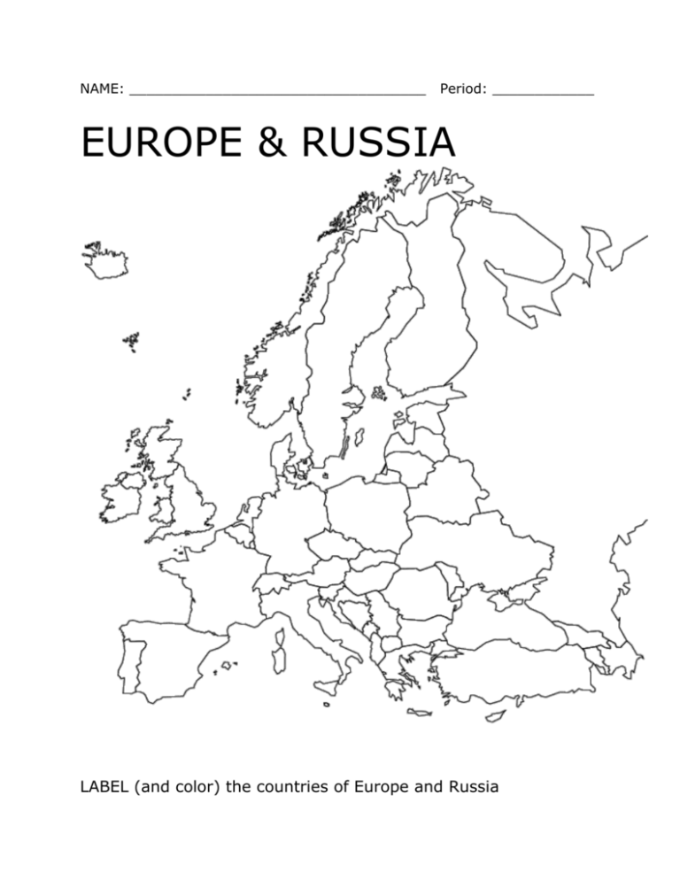
NAME: ___________________________________ Period: ____________ EUROPE & RUSSIA LABEL (and color) the countries of Europe and Russia CAPITAL CITIES: Find the capital city for each of these European countries. Albania __________________ Malta __________________ Armenia __________________ Moldova __________________ Austria __________________ Monaco __________________ Belarus __________________ Netherlands __________________ Belgium __________________ Norway __________________ Bulgaria __________________ Poland __________________ Crete __________________ Portugal __________________ Croatia __________________ Romania __________________ Cyprus __________________ Russian Federation _______________ Czech Republic _________________ Serbia-Montenegro _______________ Denmark __________________ Slovakia __________________ Estonia __________________ Slovenia __________________ Finland __________________ Spain __________________ France __________________ Sweden __________________ Germany __________________ Switzerland __________________ Greece __________________ Turkey __________________ Hungary __________________ Ukraine __________________ Ireland __________________ United Kingdom Italy __________________ o England __________________ Latvia __________________ o Northern Ireland ____________ Lithuania __________________ o Scotland __________________ Luxembourg __________________ o Wales ____________________ SHOW THE LOCATION OF THE MAJOR BODIES OF WATER SHOW THE LOCATION OF THE MAJOR LANDFORMS NAME THE FIVE PENISULAS Major Landforms – Draw them on the map and describe them below. Alps Mountains: Apennines Mountains: Atlantic Highlands: Balkan Mountains: Carpathian Mountains: Caucasus Mountains: Great Hungarian Plains: Kjolen Mountains: North European Plains: Pyrenees Mountains: Scandinavian Shield: Ural Mountains: Major Bodies of Water - Draw them on the map and describe them below. Arctic Ocean: Atlantic Ocean: Baltic Sea: Black Sea: Caspian Sea: Danube River: Elbe River: Loire River: Mediterranean Sea: North Sea: Norwegian Sea: Oder River: Po River: Rhine River: Seine River: Volga River: EUROPE & RUSSIA FIVE (5) THEMES OF GEOGRAPHY ATLAS ACTIVITIES (Pages 254-259) 1. Location: o Which is closer to the equator – Russia or the U.S.? o Which is closer to the Arctic Circle – Europe or the U.S.? o Are the climates of Europe and the U.S. similar? Why or why not? 2. Place: Compare the land areas of Europe & Russia to the U.S.? o Largest? o Middle? o Smallest? 3. Regions: o What are the three major climate regions in Russia? o Does Europe have greater or lesser variety of climate regions than Russia? Why? 4. Human-Environment Interaction: Describe some ways that people and Europe might have adapted to their climates or to the landscapes in their area. 5. Place: o What is population density? o Which country appears to be the most densely populated? o Which country appears to the least densely populated? o What might explain the differences in population density? 6. Movement (of people): o Compare the Population Density Map (page 256) and the Major Railroad Lines (page 257). What do these maps suggest? o Organize your journey by railway. A. ______________________________________________________ B. ______________________________________________________ C. ______________________________________________________ D. ______________________________________________________ BONUS. _________________________________________________ 7. Regions: o List the countries that were once a part of Soviet Union. o About how far is the eastern border of Russia from the western border of Russia? o Do you think this is an accurate measurement? Why or why not?
