Environmental Psychology 4 Cognitive Maps: the mental
advertisement
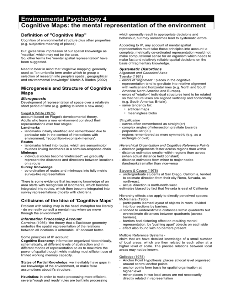
Environmental Psychology 4 Cognitive Maps: the mental representation of the environment Definition of "Cognitive Map" Cognition of environmental structure plus other properties (e.g. subjective meaning of places) But: gives false impression of our spatial knowledge as 'maplike', which may not be the case. So, other terms like 'mental spatial representation' have been suggested. Need to bear in mind that 'cognitive mapping' generally used as "an umbrella term under which to group a selection of research into people's spatial, geographical and environmental knowledge" Kitchin & Blades (2002) Microgenesis and Structure of Cognitive Maps Microgenesis Development of representation of space over a relatively short period of time (e.g. getting to know a new area) Siegal & White (1975) account based on Piaget's developmental theory. Adults who learn a new environment construct their representations over four stages: Landmarks - landmarks initially identified and remembered due to particular role in the context of interactions with environment; 'recognition-in-context-memory'. Routes - landmarks linked into routes, which are sensorimotor routines linking landmarks in a stimulus-response chain Minimaps - individual routes become 'metricized': we gradually represent the distances and directions between locations on a route Survey Knowledge - co-ordination of routes and minimaps into fully metric survey-like representation There is some evidence that increasing knowledge of an area starts with recognition of landmarks, which become integrated into routes, which then become integrated into survey representations (mostly with children). Criticisms of the Idea of 'Cognitive Maps' Problem with taking 'map in the head' metaphor too literally - do we really consult a mental map when we move through the environment?. Information Processing Account Carreiras (1986): 'the theory that a Euclidean geometry underlies the spatial representation of the relations between all locations is untenable'. IP account better. Some principles of IP account: Cognitive Economy: information organized hierarchically, schematically, at different levels of abstraction and in different modes of representation so as to maximize the power of spatial thought while making most efficient use of limited working memory capacity. States of Partial Knowledge: we inevitably have gaps in our knowledge of the environment, or make false assumptions about it's structure. Heuristics: in order to make processing more efficient, several 'rough and ready' rules are built into processing http://www.surrey.ac.uk/~pss1su/lecturenotes/ which generally result in appropriate decisions and behaviour, but may sometimes lead to systematic errors. According to IP, any account of mental spatial representation must take these principles into account: a complete, metrically co-ordinated representation would not make computational sense for an organism which needs to make fast and relatively reliable spatial decisions on the basis of fragmentary knowledge. Systematic Distortions Alignment and Canonical Axes Tversky (1981) - errors of 'alignment' : places in the cognitive representation tend to gravitate into relative alignment with vertical and horizontal lines (e.g. North and South America; North America and Europe). - errors of 'rotation': individual structures tend to be rotated so that natural axes are aligned vertically and horizontally (e.g. South America; Britain). - same tendency for: • artificial maps • meaningless blobs Simplification - curves often remembered as straight(er) - complex angles of intersection gravitate towards perpendicular (90) - regions remembered as more symmetric (e.g. as a rectangle or oval) Hierarchical Organization and Cognitive Reference Points - direction judgements faster across regions than within - distance estimates smaller within regions than across (when actual distance held constant) - distance estimates from minor to major nodes (landmarks) smaller than vice-versa Stevens & Coupe (1978) - undergraduate students at San Diego, California, tended to estimate direction from their city Reno, Nevada, as north-east. - actual direction is north-north-west. estimates biased by fact that Nevada is east of California Hierarchy effects also apply to directly perceived spaces: McNamara (1986) - participants learned layout of objects in room divided into four sections by barriers. -> tended to underestimate distances within quadrants but overestimate distances between quadrants (across barriers). - barriers had distorting effect on resulting mental representation, by 'pushing apart' objects on each side - effect also found with no barriers present. Multiple Reference Systems claim that we have detailed knowledge of a small number of local areas, which are then related to each other at a higher level of scale. The precise relations between local areas may not be known. Golledge (1978) - Anchor Point Hypothesis: places at local level organised around central anchor points - anchor points form basis for spatial organisation at higher level - minor places in two local areas are not necessarily directly related in representation Kuipers (1982) - Atlas Metaphor as more appropriate analogy for spatial representation might an atlas - knowledge of environment represented at different scales and levels of detail on different pages. 2) Orientation Specificity Map is a view from a single viewpoint, so representation will more orientation-specific than representations derived from direct experience where environment is experienced from a number of different perspectives over time. 4) Some Causes of Distortions: Lloyd and Heivly (1987) three factors which may give rise to distortions: - topographical factors: major environmental barriers and relative density or salience of areas and locations. - person factors: type of activity people undertake in environment, goals fulfilled by spatial behaviour and familiarity with environment, sources of spatial information (direct/indirect). - processing factors: distortions which arise as consequences of normal cognitive function. Thorndyke & Hayes-Roth (1982) - participants also asked to make bearing estimates to locations while standing at various points in the building. -> map participants significantly less accurate in this task than direct experience participants. Rossano & Warren (1989) - participants made direction estimates after learning a simple experimental layout from a map. -> less accurate when the maps were examined out of alignment with the layout. Evidence for systematic distortions and hierarchical representations has led away from 'map in the head' metaphor to view of cognitive map as a number of fixed, local systems of reference organized into a nested hierarchical structure See also: Wayfinding research: Passini (1992), Golledge (1999) Space Syntax: special issue of Environment and Behavior, January 2003 (Volume 35, No. 1) Learning about Space from Maps Why should psychologists be interested in maps? - maps used in everyday lives: for work, leisure or just to find an address - maps are cultural artefacts that potentially allow us to conceptualise the environment in ways not possible via direct experience alone - children exposed to maps from early age, so may influence the way spatial cognition develops Differences between maps and direct experience Direct: experience the environment from within, from a large number of different perspectives over time. Map: presents layout of space all at once, but from a single perspective outside and above the map. - leads to a number of predictions about differences between representations gained from direct experience and those gained from examining a map of an environment. 1) Effect of Type and Amount of Experience Small amount of direct experience provides us with fragmentary knowledge. Single glance at map provides immediate survey-level knowledge Suggests that map learning gives almost immediate impression of overall layout of environment compared with direct experience which must be built up over time. Evans & Pezdek (1980) participants judged relative position of triads of locations from map-learned or directly learned knowledge. -> reaction times for map-learned environments increased as a function of rotation from original orientation as presented on the map. -> no rotation effect for judgements of directly learned locations. MacEachren (1992) multi-orientation map (a map which is successively presented to the learner at several different orientations via a computer screen) minimizes the orientation specificity of the resulting mental representation Why?: Maps may be encoded as quasi-pictorial images and read-off by the 'mind's eye' whereas direct experience of an environment leads to a procedural representation People may use an egocentric encoding strategy for the spatial relations of locations on maps, but an externally based system for real environments BUT: some similarities in the way that spatial information from maps and from direct experience is structured in cognitive representations - tendency to simplify - imposing hierarchical structure Thorndyke and Hayes-Roth (1982) tested the knowledge of the layout of one floor of office building. Controlled for: - type of exposure (direct or map) - amount of exposure: Direct: 1 to 2 mths, 6 to 12 mths and 12 to 24 mths for direct exposure participants Map: first group studied map until they could draw it accurately, second group studied map for 30 minutes beyond this criterion and the third for 60 minutes beyond criterion. -> direct exposure groups superior to the map groups on the judgement of route distances. -> for straight-line distances performance of direct experience participants improved over amount of experience -> for straight line distances all map participants were as accurate as most experienced direct exposure participants. -2- References * available online Core Kitchin, R., & Blades, M. (2002). The cognition of geographic space. London: I.B. Tauris. Kitchin, R., & Freundschuh, S. (2000). Cognitive mapping: past, present and future. London: Routledge. Kitchin, R.M. (1994). Cognitive maps: what are they and why study them? Journal of Environmental Psychology, 14, 1-19. Ungar, S. (2005). Cognitive maps. In Caves, R. (ed) Encyclopedia of the City, London: Routledge. Suplementary Golledge, R. (1987). Environmental Cognition. In Stokols, D. & Altman, I. (ed) Handbook of Environmental Psychology. New York: John Wiley & Sons. Evans, G. (1980). Environmental Cognition. Psychological Bulletin, 88, 259-287. Siegel, A.W. & White, S. (1975). The development of spatial representations of large-scale environments. Advances in Child Development and Behaviour, 11, 9-55. Kuipers, B. (1982). The "map in the head" metaphor. Environment and Behavior, 14, 202-220. Couclelis, H., Golledge, R.G., Gale, N. & Tobler, W. (1987). Exploring the anchor-point hypothesis of spatial cognition. Journal of Environmental Psychology, 7, 99122. Tversky, B. (1981). Distortions in memory for maps. Cognitive Psychology, 13, 407-433. Tversky, B. (2000). Level and structure of spatial knowledge. In Kitchin, R., & Freundschuh, S. (2000). Cognitive mapping: past, present and future. London: Routledge. * Lloyd, R. & Heivly, C. (1987). Systematic distortions in urban cognitive maps. Annals of the Association of American Geographers, 77, 191-207. McNamara, T.P. (1986). Mental representations of spatial relations. Cognitive Psychology, 18, 87-121. Hirtle, S.C. & Jonides, J. (1985). Evidence of hierarchies in cognitive maps. Memory and Cognition, 13, 208-217. Thorndyke, P.W. & Hayes-Roth, B. (1982). Differences in spatial knowledge acquired from maps and navigation. Cognition, 14, 560-589. Golledge, R.G. (ed) (1999). Wayfinding behavior: cognitive mapping and other spatial processes. Baltimore, Ml: John Hopkins University Press. Passini, R. (1984). Spatial representations, a wayfinding perspective. Journal of Environmental Psychology, 4, 153-164. * Environment and Behavior, January 2003 (Volume 35, No. 1) -3- Ungar, S. (2005). Cognitive maps. In R. Caves (Ed.), Encyclopedia of the City (pp. 79-80). London: Routledge. COGNITIVE MAPS The term 'cognitive map' refers to mental representations underlying our ability to remain orientated in our surroundings as we move about. It was coined by Edward Tolman to explain the behaviour of rats that appeared to learn the layout of a maze, rather than just sequences of responses that would lead to the goal. Subsequently, studies have considered other animals, including humans, asking how mental representations of our surroundings are acquired, structured and used. Various research methods are used for investigating, or 'externalising', cognitive maps: from navigation tasks or simple sketch mapping, to complex statistical procedures on people's estimates of distance or direction. Two main areas of research have used such methods. By externalising people's cognitive maps to investigate their *image of the city, researchers attempted to determine the 'legibility' of various cities, to inform and improve urban planning (see Kevin Lynch). In contrast, psychologists and behavioural geographers have investigated the structure, geometric properties and acquisition of people's mental representations of their surroundings. Cognitive maps are acquired in two main ways: direct experience of an environment, and indirect experience from maps or verbal descriptions. With direct learning, representations develop through a series of stages: first a sequence of landmarks along a route is learned; later the route is structured into segments; and finally, the various routes are integrated into coherent representation of one's surroundings. When an environment is learned from a map, we are able to skip these stages and perceive the structure of the environment immediately. However there are important differences in the resulting representations. Most significantly, they tend to retain a bias in respect of the map's orientation (i.e. it will usually be more difficult to use the information when facing south than when facing north). The term cognitive map suggests a 'cartographic map in the head', in the form of some kind of mental image that can be 'scanned by the mind's eye'. However, cognitive maps appear not to be structured in a uniform way, like the continuous sheet of a map, but have a hierarchical structure and include some systematic distortions, which are thought to reduce the amount of information contained in the mental representations, thus making it easier to store and retrieve the information, without producing significant limitations in spatial orientation ability. For instance, information about relative locations of districts in a city would be represented at a separate hierarchical level from information about the locations of places (e.g. shops) within the districts. Accordingly, people find it more difficult to make spatial judgements about pairs of locations across districts than between pairs of locations in the same district. Many other simplifying distortions in cognitive maps result from the schematisation of spatial information, such as representing curvy roads as straighter or representing a side road as joining the main road at a right angle whatever the actual angle. (see also environmental perception) FURTHER READING Kitchin, R.M. and Blades, M. (2002). The cognition of geographic space. London: Tauris. Kitchin, R.M. & Freundschuh, S. (eds.) (2000). Cognitive Mapping: Past, Present and Future. London: Routledge.
