GIS Guide sarl
advertisement
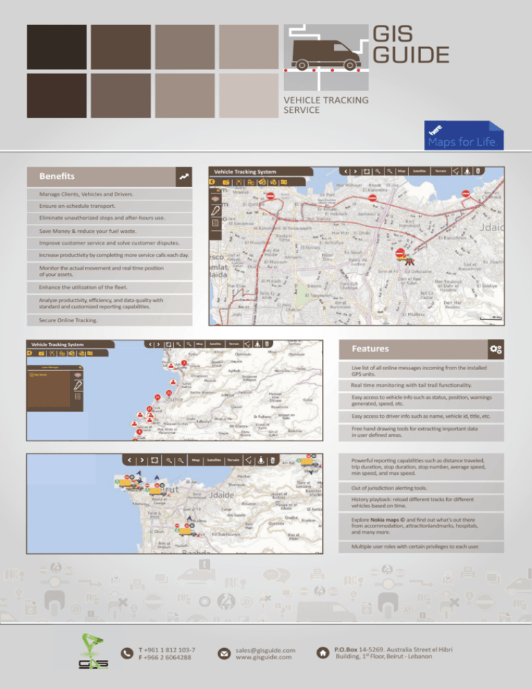
GIS Guide VEHICLE TRACKING SERVICE Vehicle Tracking System Benefits Map Satellite Terrain H Manage Clients, Vehicles and Drivers. Ensure on-schedule transport. Eliminate unauthorized stops and after-hours use. Save Money & reduce your fuel waste. Improve customer service and solve customer disputes. Increase productivity by completing more service calls each day. Monitor the actual movement and real time position of your assets. Enhance the utilization of the fleet. Analyze productivity, efficiency, and data quality with standard and customized reporting capabilities. Secure Online Tracking. Vehicle Tracking System Map Satellite Terrain H Features Live list of all online messages incoming from the installed GPS units. Layer Manager Layer Manager My Clients Real time monitoring with tail trail functionality. Easy access to vehicle info such as status, position, warnings generated, speed, etc. Easy access to driver info such as name, vehicle id, title, etc. Free hand drawing tools for extracting important data in user defined areas. Map Satellite Terrain Powerful reporting capabilities such as distance traveled, trip duration, stop duration, stop number, average speed, min speed, and max speed. Out of jurisdiction alerting tools. History playback: reload different tracks for different vehicles based on time. Explore Nokia maps © and find out what’s out there from accommodation, attractionlandmarks, hospitals, and many more. Multiple user roles with certain privileges to each user. T +961 1 812 103-7 F +966 2 6064288 sales@gisguide.com www.gisguide.com P.O.Box 14-5269. Australia Street el Hibri Building, 1st Floor, Beirut - Lebanon


