Print › Topographic Maps Chapter 2 | Quizlet | Quizlet
advertisement
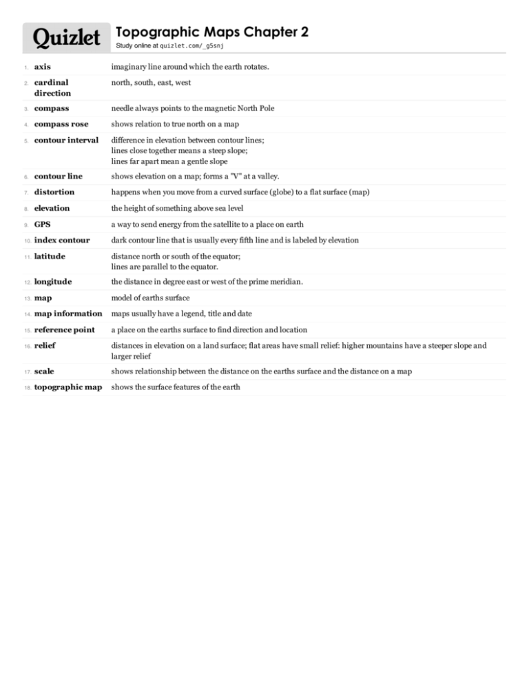
Topographic Maps Chapter 2 Study online at quizlet.com/_g5snj axis imaginary line around which the earth rotates. cardinal direction north, south, east, west 3. compass needle always points to the magnetic North Pole 4. compass rose shows relation to true north on a map 5. contour interval difference in elevation between contour lines; lines close together means a steep slope; lines far apart mean a gentle slope 6. contour line shows elevation on a map; forms a "V" at a valley. 7. distortion happens when you move from a curved surface (globe) to a flat surface (map) 8. elevation the height of something above sea level 9. GPS a way to send energy from the satellite to a place on earth 10. index contour dark contour line that is usually every fifth line and is labeled by elevation 11. latitude distance north or south of the equator; lines are parallel to the equator. 12. longitude the distance in degree east or west of the prime meridian. 13. map model of earths surface 14. map information maps usually have a legend, title and date 15. reference point a place on the earths surface to find direction and location 16. relief distances in elevation on a land surface; flat areas have small relief: higher mountains have a steeper slope and larger relief 17. scale shows relationship between the distance on the earths surface and the distance on a map 18. topographic map shows the surface features of the earth 1. 2.


