Lessor`s_Quarry - University of Vermont
advertisement
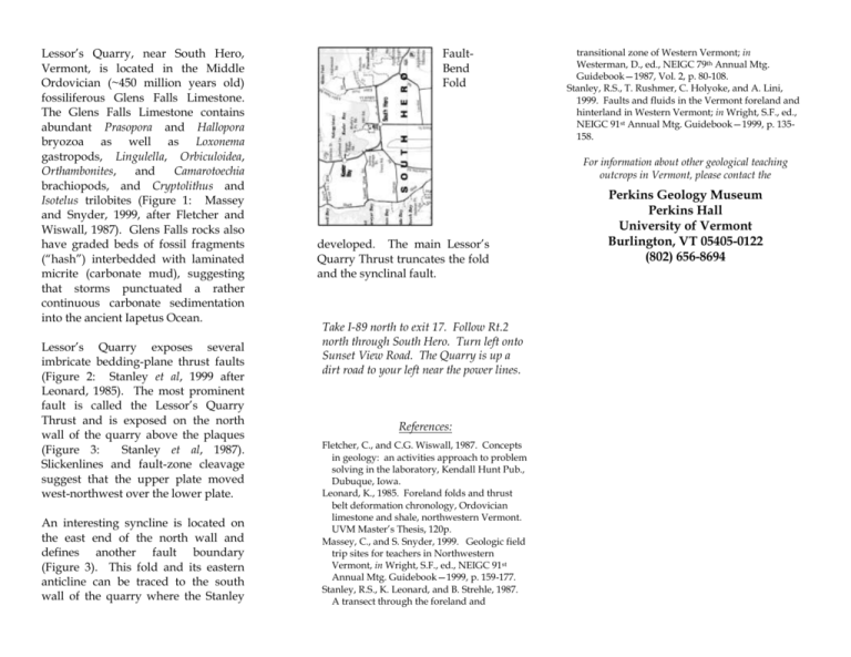
Lessor’s Quarry, near South Hero, Vermont, is located in the Middle Ordovician (~450 million years old) fossiliferous Glens Falls Limestone. The Glens Falls Limestone contains abundant Prasopora and Hallopora bryozoa as well as Loxonema gastropods, Lingulella, Orbiculoidea, Orthambonites, and Camarotoechia brachiopods, and Cryptolithus and Isotelus trilobites (Figure 1: Massey and Snyder, 1999, after Fletcher and Wiswall, 1987). Glens Falls rocks also have graded beds of fossil fragments (“hash”) interbedded with laminated micrite (carbonate mud), suggesting that storms punctuated a rather continuous carbonate sedimentation into the ancient Iapetus Ocean. Lessor’s Quarry exposes several imbricate bedding-plane thrust faults (Figure 2: Stanley et al, 1999 after Leonard, 1985). The most prominent fault is called the Lessor’s Quarry Thrust and is exposed on the north wall of the quarry above the plaques (Figure 3: Stanley et al, 1987). Slickenlines and fault-zone cleavage suggest that the upper plate moved west-northwest over the lower plate. An interesting syncline is located on the east end of the north wall and defines another fault boundary (Figure 3). This fold and its eastern anticline can be traced to the south wall of the quarry where the Stanley FaultBend Fold transitional zone of Western Vermont; in Westerman, D., ed., NEIGC 79th Annual Mtg. Guidebook—1987, Vol. 2, p. 80-108. Stanley, R.S., T. Rushmer, C. Holyoke, and A. Lini, 1999. Faults and fluids in the Vermont foreland and hinterland in Western Vermont; in Wright, S.F., ed., NEIGC 91st Annual Mtg. Guidebook—1999, p. 135158. For information about other geological teaching outcrops in Vermont, please contact the developed. The main Lessor’s Quarry Thrust truncates the fold and the synclinal fault. Take I-89 north to exit 17. Follow Rt.2 north through South Hero. Turn left onto Sunset View Road. The Quarry is up a dirt road to your left near the power lines. References: Fletcher, C., and C.G. Wiswall, 1987. Concepts in geology: an activities approach to problem solving in the laboratory, Kendall Hunt Pub., Dubuque, Iowa. Leonard, K., 1985. Foreland folds and thrust belt deformation chronology, Ordovician limestone and shale, northwestern Vermont. UVM Master’s Thesis, 120p. Massey, C., and S. Snyder, 1999. Geologic field trip sites for teachers in Northwestern Vermont, in Wright, S.F., ed., NEIGC 91st Annual Mtg. Guidebook—1999, p. 159-177. Stanley, R.S., K. Leonard, and B. Strehle, 1987. A transect through the foreland and Perkins Geology Museum Perkins Hall University of Vermont Burlington, VT 05405-0122 (802) 656-8694 LESSOR’S QUARRY South Hero, Vermont Insert photo here Rolfe Seaton Stanley Teaching Outcrop UVM Geology Professor, 1964-2000
