Tropical Cyclones
advertisement
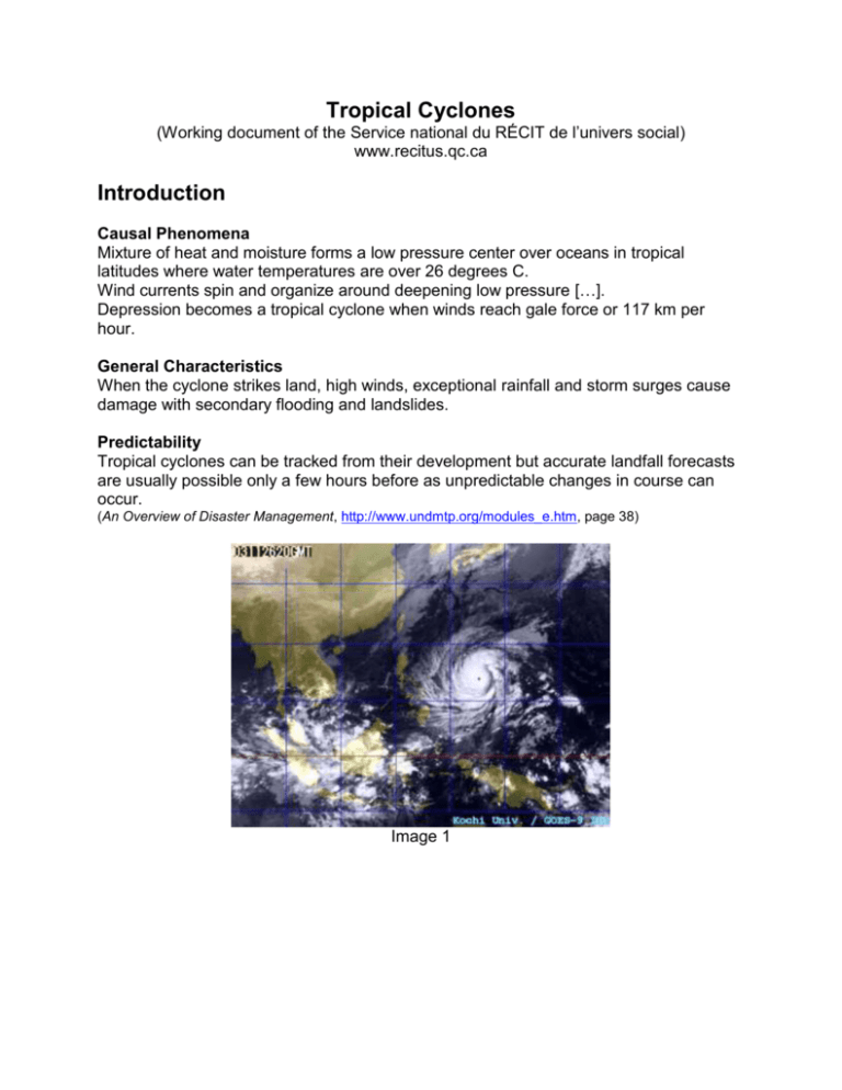
Tropical Cyclones (Working document of the Service national du RÉCIT de l’univers social) www.recitus.qc.ca Introduction Causal Phenomena Mixture of heat and moisture forms a low pressure center over oceans in tropical latitudes where water temperatures are over 26 degrees C. Wind currents spin and organize around deepening low pressure […]. Depression becomes a tropical cyclone when winds reach gale force or 117 km per hour. General Characteristics When the cyclone strikes land, high winds, exceptional rainfall and storm surges cause damage with secondary flooding and landslides. Predictability Tropical cyclones can be tracked from their development but accurate landfall forecasts are usually possible only a few hours before as unpredictable changes in course can occur. (An Overview of Disaster Management, http://www.undmtp.org/modules_e.htm, page 38) Image 1 Downtown Image 2 Manila shantytowns Team 1: Identify the most vulnerable areas on the image General observations: Identify geographical areas (economic centre and outlying area, flood-risk areas, etc.) and types of buildings (skyscrapers, institutions, shantytowns, industries, etc.). Using the image, the two texts below and the table, identify elements in Manila that are vulnerable to natural hazards. Text 1 Factors contributing to vulnerability (in cases of tropical cyclones) Settlements located in low lying coastal areas (direct impact). Settlements in adjacent areas (heavy rains, floods). Poor communications or warning systems. Lightweight structures, older construction, poor quality masonry. Infrastructural elements, fishing boats and maritime industries. (An Overview of Disaster Management, http://www.undmtp.org/modules_e.htm, page 38) Elements most at risk (in cases of tropical cyclones) Lightweight structures and timber housing. Informal housing sectors and shanty settlements. Roofs and cladding. Loose or poorly attached building elements, sheets and boards. Trees, fences, signs, etc. Telegraph poles, pylons and highlevel cables. Fishing boats or other maritime industries. (Disaster Mitigation, http://www.undmtp.org/modules_e.htm, page 23) Vulnerable Areas Vulnerability Factors (Text 1) Observations about Photo Team 2: Identify the various types of buildings and the risk elements and solutions they may represent Note your results in the table below. Text 2 Mitigation also entails the protection of the economy from disasters. Economic activity in the more industrialized societies is complex and interdependent, with service industries dependent on manufacturing, which in turn relies on supplies of raw materials, labor, power and communications. This complex interdependency is extremely vulnerable to disruption by hazards affecting any one link in the chain. Newly industrializing societies are most vulnerable of all. (Disaster Mitigation, http://www.undmtp.org/modules_e.htm, page 17) Main mitigation strategies Engineering of structures to withstand wind forces. Wind load requirements in building codes. Wind safety requirements for non-structural elements. Good construction practices. Micro-climatic siting of key facilities, e.g., in lee of hillsides. Planting of windbreaks, planning of forestry areas upwind of towns. Provision of windsafety buildings (e.g., strong village halls) for community shelter in vulnerable settlements. (Disaster Mitigation, http://www.undmtp.org/modules_e.htm, page 23) Urban Development and Natural Hazards Types of Buildings (Text 2) Observations about Photo Team 3: Identify the various settlements of Manila: major urban centre vs. shantytown Rural Exodus and Economic Draw What explains the inhabitants’ decision to live along the coast in a country that experiences torrential downpours and typhoons? Why is the economic draw of the city stronger than fear of natural disasters? Text 3 The prohibition of building houses on hazardous slopes may seem sensible but is unenforceable in cities where economic pressures to locate on such locations outstrip concerns of illegality. (Disaster Mitigation, http://www.undmtp.org/modules_e.htm, page 29) In many rapidly developing cities, the control of private sector land use through urban masterplanning and development permissions is almost impossible. It is often private sector land use, the informal sectors and shanty towns that pose the highest risks of disaster. Flood plains and steep slopes are often the marginal lands that are available to the lower-income communities and the most vulnerable social groups. The economic pressures that drive these groups, first to the city for jobs and opportunity, and second to the marginal lands to live, need to be fully understood as the context for reducing their risk. (Disaster Mitigation, http://www.undmtp.org/modules_e.htm, page 33) Economic Draw of Major Urban Centres Elements of Economic Draw (Text 3) Observations about Photo Sharing of Observations Using a Sketch Synthesis of observations to create the sketch: - Illustrate the economic draw of major urban centres (team 1). Illustrate the elements of the city that are most at risk (team 2). Illustrate a solution to protect the population (team 3). Text sources: Training modules from the United Nations Disaster Management Training Programme (DMTP) http://www.undmtp.org/modules_e.htm Presentation of Synthesis Sketch by Teacher Economic centre Danger Industry Typhoon Institutions that could shelter the population Legend Shanty or vulnerable building Shelter Typhoon Economic centre Vulnerable area Industry Development of shantytown around economic centre Danger
