Topographic Maps - Tamalpais Union High School District
advertisement
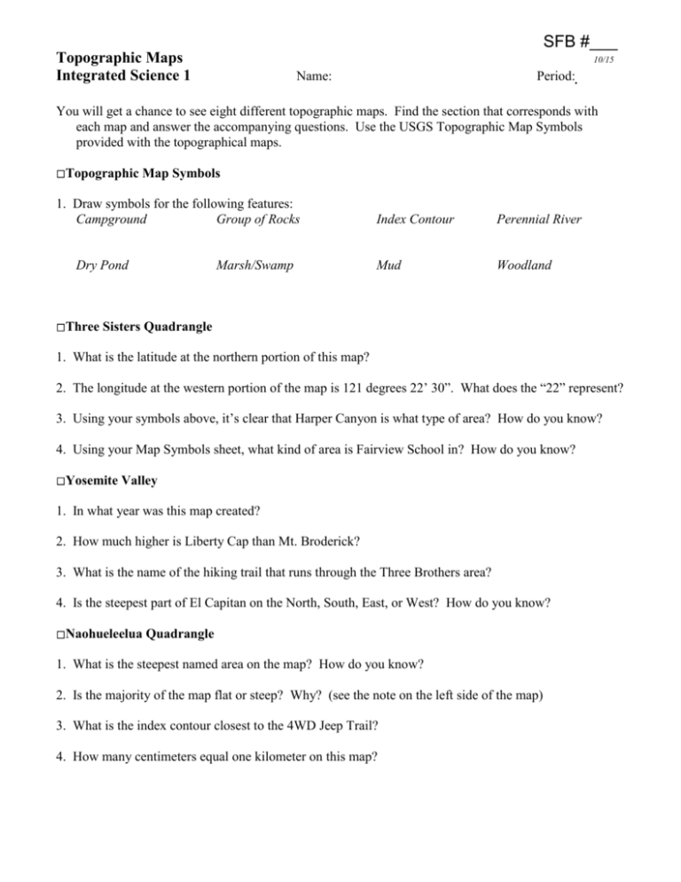
SFB #___ Topographic Maps Integrated Science 1 10/15 Name: Period: You will get a chance to see eight different topographic maps. Find the section that corresponds with each map and answer the accompanying questions. Use the USGS Topographic Map Symbols provided with the topographical maps. Topographic Map Symbols 1. Draw symbols for the following features: Campground Group of Rocks Dry Pond Marsh/Swamp Index Contour Perennial River Mud Woodland Three Sisters Quadrangle 1. What is the latitude at the northern portion of this map? 2. The longitude at the western portion of the map is 121 degrees 22’ 30”. What does the “22” represent? 3. Using your symbols above, it’s clear that Harper Canyon is what type of area? How do you know? 4. Using your Map Symbols sheet, what kind of area is Fairview School in? How do you know? Yosemite Valley 1. In what year was this map created? 2. How much higher is Liberty Cap than Mt. Broderick? 3. What is the name of the hiking trail that runs through the Three Brothers area? 4. Is the steepest part of El Capitan on the North, South, East, or West? How do you know? Naohueleelua Quadrangle 1. What is the steepest named area on the map? How do you know? 2. Is the majority of the map flat or steep? Why? (see the note on the left side of the map) 3. What is the index contour closest to the 4WD Jeep Trail? 4. How many centimeters equal one kilometer on this map? Point Bonita Quadrangle 1. Is the Great Highway a heavy-duty or medium-duty road? How do you know? 2. There is a spotty brown section near Rodeo Cove. What does the spotty brown mean? 3. What is the contour interval of this map? 4. What is the contour line closest to the Game Refuge Boundary? Approximate the elevation at the shoreline. San Francisco North Quadrangle 1. There are lots of purple areas on the eastern part of the map. What does the purple mean? 2. What is the name of the location with the highest elevation in Golden Gate Park? How high is it? 3. Is Ft. McDowell on Angel Island on a flat or steep area? How do you know? 4. How long is Alcatraz Island (from northwest to southeast). Use the scale below the map to help you. Petaluma Quadrangle 1. Estimate the portion of the map covered by urban area. 2. What is the longitude at the eastern portion of your map? 3. How far is it from Red Hill to Hammock Hill? 4. What body of water helps mark the boundary between Marin and Sonoma counties? San Rafael Quadrangle – 1995 1. What is the name of the ecological reserve nearest Redwood High School (RHS)? 2. What trail runs through Muir Woods National Monument? 3. How many centimeters equal one kilometer on this map? 4. Where specifically can you find the majority of the mud on this map (name the location)? San Rafael Quadrangle – 1954/1980 1. What is the elevation of Knob Hill (center of the map)? 2. Estimate the portion of the map covered by woodland on this map. 3. Is Sir Francis Drake located in a mostly flat area or mostly sloped area. How do you know? 4. What is the index contour closest to Palm Hill (just south of RHS)? 2 Topographic Maps

