SCHEDULE TO THE MIXED USE ZONE
advertisement
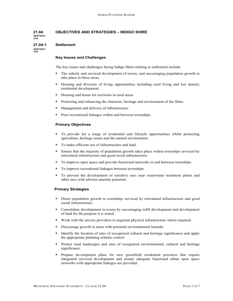
INDIGO PLANNING SCHEME 21.04 OBJECTIVES AND STRATEGIES – INDIGO SHIRE 05/07/2012 C24 21.04-1 Settlement 05/07/2012 C24 Key Issues and Challenges The key issues and challenges facing Indigo Shire relating to settlement include: The orderly and serviced development of towns, and encouraging population growth to take place in these areas. Housing and diversity of living opportunities including rural living and low density residential development. Housing and house lot excisions in rural areas. Protecting and enhancing the character, heritage and environment of the Shire. Management and delivery of infrastructure. Poor recreational linkages within and between townships. Primary Objectives To provide for a range of residential and lifestyle opportunities whilst protecting agriculture, heritage assets and the natural environment. To make efficient use of infrastructure and land. Ensure that the majority of population growth takes place within townships serviced by reticulated infrastructure and good social infrastructure. To improve open space and provide functional networks in and between townships. To improve recreational linkages between townships To prevent the development of sensitive uses near wastewater treatment plants and other uses with adverse amenity potential. Primary Strategies Direct population growth to townships serviced by reticulated infrastructure and good social infrastructure. Consolidate development in towns by encouraging infill development and development of land for the purpose it is zoned. Work with the service providers to augment physical infrastructure where required. Discourage growth in areas with potential environmental hazards. Identify the location of sites of recognized cultural and heritage significance and apply the appropriate planning scheme control. Protect rural landscapes and sites of recognized environmental, cultural and heritage significance. Prepare development plans for new greenfield residential precincts that require integrated serviced development and ensure adequate functional urban open space networks with appropriate linkages are provided. MUNICIPAL STRATEGIC STATEMENT – CLAUSE 21.04 PAGE 1 OF 7 INDIGO PLANNING SCHEME Facilitate the development of improved recreational walking/cycling linkages within and between towns. Implementation Council will undertake further strategic work as follows: Develop strategic direction/structure plans for each of the townships. Prepare outline development plans and investigate the need for Design and Development Overlays for vacant residential areas within townships. Investigate planning controls to appropriately manage development in all National Trust landscapes and visually prominent/exposed areas. Prepare strategic plans for the provision of functional open space networks including walking/cycling routes in and between townships. Review relevant Overlays and Local Policy when required to ensure the continued implementation of the objectives and strategies above. 21.04-2 Environment 05/07/2012 C24 Key Issues and Challenges The key issues and challenges facing Indigo Shire relating to the Environment include: The junction of three contrasting landscape systems – foothills of the Great Dividing Range, the Western plains and the Murray River and its floodplain. Four threatened broad vegetation types are found within the Shire: Riverine Grassy Plains, Plains Grassy Woodlands, Inland Slopes Woodlands and Box-Ironbark Forest. Many of the remnant areas are located in road reserves and on private land. Large areas of public land, the largest being the Chiltern-Mt Pilot National Park, which has high conservation values. Issues arising from rainfall events associated with significant floodplains along the Kiewa and upper Murray Rivers and Yackandandah Creek, and other areas with drainage issues such as the Black Dog Creek in Chiltern. Water quality in streams in the municipality is affected by a large range of activities including urban development, agriculture and mining, removal and degradation of riparian vegetation and alteration to flow regimes. Significant Aboriginal cultural sites, including isolated artefacts, art sites, rock arrangements, surface scatters, scarred trees and rock wells. Primary Objectives Improve information and tools to ensure the conservation and enhancement of biodiversity. Minimise the prevalence and introduction of pest plants, especially in vulnerable localities such as land adjoining crown land. Conserve and enhance ecosystem functionality. Promote more efficient water usage. Minimise pollution of water resources (including the Murray River and Lake Hume) while allowing for recreational/tourism related development in appropriate localities. MUNICIPAL STRATEGIC STATEMENT – CLAUSE 21.04 PAGE 2 OF 7 INDIGO PLANNING SCHEME Minimise the potential adverse effects of new development on salinity levels. Minimise soil erosion. Improve community awareness of good land management practises. Mitigate / minimise loss of vegetation. Building/development design adapted to climate change. Allow for development whilst protecting areas of historic, cultural and natural significance. Ensuring the sensitive design and siting of new buildings and development within historic towns and within rural landscapes, as this is critical to the presentation of the Indigo Shire. Minimise any adverse impacts of flooding (including potential risk to life, health and safety) and rural drainage and maintain floodplains as an important agricultural resource. Minimise the impact of fire on life and property. To ensure that drainage, run off and catchment management issues are considered in relation to new uses and developments. Primary Strategies Identify and protect biodiversity assets through the Biodiversity Planning Project. Strengthen existing land care and catchment management practices as the basis for the use, development and management of the natural resource base. Facilitate the development of biodiversity corridors in localities where it would be most advantageous to allow re-vegetation/planting to take place. Protect and enhance biodiversity by having regard to the North East Native Vegetation Plan and Victoria’s Native Vegetation Management – A Framework for Action. Discourage the use of pest plants in new development (especially in vulnerable localities). Ensure the implementation of Water Sensitive Urban Design in the design of new developments. Manage land use and development in water catchments to protect the quality of the Shire’s rivers and watercourses. Minimise stormwater pollution. Facilitate the improvement and extension of reticulated sewerage systems by working with relevant authorities/agencies. Improve the management of on-site effluent disposal systems. Protect and enhance river health by having regard to the North East Regional River Health Strategy. Encourage the implementation of landcare principles within the planning process. Work with relevant organisations to provide land owners with sufficient information regarding land management. Encourage the use of alternative transport methods by: Ensuring new development is pedestrian/cycling friendly and strongly linked to existing pedestrian/cycling networks; MUNICIPAL STRATEGIC STATEMENT – CLAUSE 21.04 PAGE 3 OF 7 INDIGO PLANNING SCHEME Making information regarding pedestrian/cycling networks available to the public, and; Working with relevant organisations to improve public transport in the Shire. Encourage the use of solar passive design for new buildings. Ensure the impacts of development on flooding and rural drainage (particularly in the Black Dog Creek Management District) area considered by having regard to relevant local policy and overlays. Assist in the implementation of the Northeast Catchment Management Authority Regional Catchment Strategy. Consult with the North East Catchment Management Authority for advice in areas where flooding is suspected but not identified by an overlay and liaise with the Authority to improve and where possible update the Shire’s flood mapping database. Implementation Council will undertake further strategic work as follows: Finalise the Biodiversity Planning Project and implement relevant recommendations. Investigate appropriate tools for salinity management. Review relevant local policy to discourage the use of pest plants in new development (especially in vulnerable localities). In conjunction with NECMA, develop local floodplain development plans for the following areas: Indigo Creek; Yackandandah Creek; Black Dog Creek (Norong); Kiewa River; and Murray River Review relevant Overlays and Local Policy when required to ensure the continued implementation of the objectives and strategies above. 21.04-3 Economic Development 05/07/2012 C24 Key Issues and Challenges Protection of agricultural land for current and future agricultural production. Expansion and diversification of the rural economy. Protecting and enhancing tourism development. Lack of local employment opportunities and “escape spending”. The high number of existing Crown Allotments within the rural area and continued pressure for housing development and the need to direct rural living development to take place in localities strategically identified and zoned appropriately. Significant European cultural heritage built environment, which when viewed as a collective, forms one of Australia’s most significant heritage regions. Tourism is an important aspect of Indigo Shire’s economy and heritage is a major tourist drawcard. MUNICIPAL STRATEGIC STATEMENT – CLAUSE 21.04 PAGE 4 OF 7 INDIGO PLANNING SCHEME Potential for large scale plantations to impact on the quality and presentation of the Shire’s rural and township heritage, landscape quality, classified National Trust landscapes and high quality agricultural land. Primary Objectives Retain agricultural land for agricultural purposes. Limit the fragmentation of rural land. Limit the development of rural dwellings to appropriate areas. Allow for the more intensive and diversified use of rural land for higher value products in appropriate localities, which are compatible with surrounding land uses. Allow for processing and value adding industries to be located within the Shire. Allow for non-agricultural uses to be established in appropriate localities. Facilitate the development of the Shire’s recreation and tourist attractions, whilst protecting tourism assets such as the environment, heritage and landscapes. Improve public transport. Improve car parking facilities in towns, where required. Support the creation of more local job opportunities and the diversification of the range of products and services available to residents. To encourage the establishment of small-scale plantations (<40ha) on previously cleared agricultural land integrated with farming systems and in locations which are capable of providing road infrastructure requirements to this industry. To ensure that development is compatible with the Shire’s economic base, including heritage, landscapes and agricultural land. Primary Strategies Facilitate the implementation of the new rural zones and measures to support agricultural production by undertaking a rural land study. Allow the restructure of land to facilitate the ongoing rural use of land. Direct rural living and hobby farm development into areas zoned appropriately for this purpose. Support the development of tourism related activities and facilities in appropriate localities by utilising relevant zoning, overlays and policies. Facilitate the improvement of public transport provision by working with relevant authorities/agencies/organisations. Investigate the existing parking situation in the Shire’s townships and recommend appropriate future action where required. Allow for the expansion of existing commercial and industrial precincts into areas suitable for this purpose. Investigate the possibility of future development of commercial/industrial activities at the proposed service centres to be developed on the Hume Freeway outside of Chiltern. Support the protection of the Shire’s heritage assets and landscapes as important economic and cultural assets. Implementation MUNICIPAL STRATEGIC STATEMENT – CLAUSE 21.04 PAGE 5 OF 7 INDIGO PLANNING SCHEME Council will undertake further strategic work as follows: Prepare parking precinct plans for relevant towns, as required. Review relevant Overlays and Local Policy when required to ensure the continued implementation of the objectives and strategies above. MUNICIPAL STRATEGIC STATEMENT – CLAUSE 21.04 PAGE 6 OF 7 INDIGO PLANNING SCHEME MUNICIPAL STRATEGIC STATEMENT – CLAUSE 21.04 PAGE 7 OF 7
