Abstract
advertisement
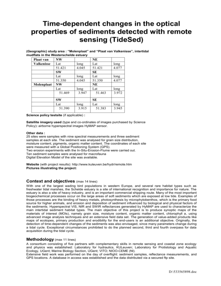
Time-dependent changes in the optical properties of sediments detected with remote sensing (TideSed) (Geographic) study area : “Molenplaat” and “Plaat van Valkenisse”, intertidal mudflats in the Westerschelde estuary Plaat van Valkenisse Molenplaat NW Lat 51.421 SW Lat 51.350 NW Lat 51.469 SW Lat 51.390 long 3.947 NE Lat 51.421 SE Lat 51.350 NE Lat 51.463 long 3.915 SE Lat 51.383 long 4.045 long 4.045 long 4.077 long 4.077 long 3.972 long 3.945 Science policy testsite (if applicable) : Satellite imagery used (type and co-ordinates of images purchased by Science Policy): airborne hyperspectral images HyMAP sensor. Other data : 25 sites were samples with nine spectral measurements and three sediment samples at each site. The sediment was analysed for grain size distribution, moisture content, pigments, organic matter content. The coordinates of each site were measured with a Global Positioning System (GPS). Two erosion experiments with the In-Situ-Erosion-Flume were carried out. Ten sediment samples were analysed for macrofauna Digital Elevation Model of the site was available. Website (with project results): http://www.kuleuven.be/hydr/remote.htm Pictures illustrating the project: Context and objectives (max 14 lines) With one of the largest wading bird populations in western Europe, and several rare habitat types such as freshwater tidal marshes, the Schelde estuary is a site of international recognition and importance for nature. The estuary is also a site of heavy industry, and is an important commercial shipping route. Many of the most important biogeochemical processes occur on the large areas of soft sediments which are exposed at low tide. Examples of those processes are the binding of heavy metals, photosynthesis by microphytobenthos, which is the primary food source for higher animals, and erosion and deposition of sediment influenced by biological and physical factors of the sediments. Hyperspectral VIS, NIR and SWIR reflectances generated by HyMAP are used to characterize the main intertidal sediment habitat types. The main objective of this project is to produce synoptic maps of the materials of interest (MOIs), namely grain size, moisture content, organic matter content, chlorophyll a, using advanced image analysis techniques and an extensive field data set. The generation of value-added products like maps of ecotopes, primary production and erodibility for the end-users is an additional objective. Originally, the detection of time-dependent changes of the sediments was also envisaged, since many parameters change during a tidal cycle. Exceptional circumstances prohibited to do the planned second, third and fourth overpass for data acquisition during the tidal cycle. Methodology (max 11 lines) A consortium consisting of five partners with complementary skills in remote sensing and coastal zone ecology and physics was established: Laboratory for hydraulics, KULeuven; Laboratory for Protistology and Aquatic Ecology, UGent; Marine Biology Section, UGent; VITO; NIOO-CEME (Nl). Extensive field work was performed on the day of overflight: sediment samples, reflectance measurements, and GPS locations. A database in access was established and the data distributed via a secured ftp site. D:\533565898.doc The gathered field data, reflectance measurements and elevation data were statistically analysed to find correlations between all the parameters and to improve the performance of vegetation indices (VI’s). VI’s were tested for their applicability for chlorophyll a prediction (PAE, NIOO). Supervised and unsupervised classification procedures were performed by VITO and KUL to obtain maps of the MOIs. The methodologies and results were compared. The classification results were combined with elevation data and models to obtain value-added products. Results (max 16 lines) Statistical analyse indicated high correlations between grain size and chlorophyll a, moisture content and chl a, and organic matter and chl a. High correlations between elevation and these parameters were also noted. The best predicting vegetation indices for chl a were the SAVI-index and the ratio of the reflectances in 665nm and 647nm. Chlorophyll a and primary productivity maps were established using these indices. High primary productivity is observed in areas with high chl a content and higher elevation (higher light availability). Maps of chl a, grain size, organic matter and moisture content were produced using supervised classification with accuracies of 80%, 86%, 87% and 81% respectively. The unsupervised classification method based on principal component analysis (PCA) could distinguish classes better than the ISODATA method due to the distinction of absorption features. Furthermore the PCA method is superior to the combination of spectral angle mapper with unsupervised selection of endmembers because of its repeatability, user-friendliness and robustness. Identical classes were detected in supervised and unsupervised classification methods, but labelling the classes was difficult due to limited field information. An ecotope map was produced based on grain size (potential for macrofaunal colonisation), chl a (food source), and moisture content (indication of emersion time). A qualitative erosion resistance map of the mudflat was produced combining the supervised classification results and empirical models. The erosion experiments that could be carried out were not sufficient to obtain a quantitative erosion resistance map. Products and services (if applicable) Execution Period: June 2004 – September 2005 Laboratory: Laboratory for Hydraulics, Department of Civil Engineering, Katholieke Universiteit Leuven Discipline (select one or more appropriate disciplines) Oceans & coasts Geology & soil D:\533565898.doc
