17 Using ASCII Format Files in ArcGIS
advertisement

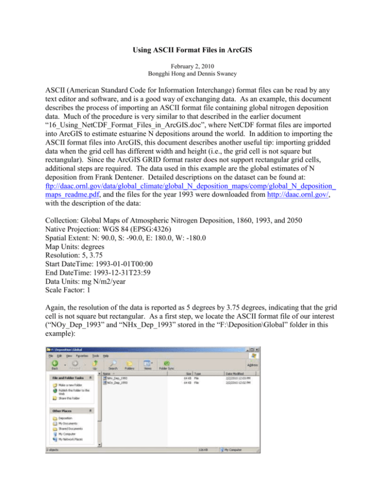
Using ASCII Format Files in ArcGIS February 2, 2010 Bongghi Hong and Dennis Swaney ASCII (American Standard Code for Information Interchange) format files can be read by any text editor and software, and is a good way of exchanging data. As an example, this document describes the process of importing an ASCII format file containing global nitrogen deposition data. Much of the procedure is very similar to that described in the earlier document “16_Using_NetCDF_Format_Files_in_ArcGIS.doc”, where NetCDF format files are imported into ArcGIS to estimate estuarine N depositions around the world. In addition to importing the ASCII format files into ArcGIS, this document describes another useful tip: importing gridded data when the grid cell has different width and height (i.e., the grid cell is not square but rectangular). Since the ArcGIS GRID format raster does not support rectangular grid cells, additional steps are required. The data used in this example are the global estimates of N deposition from Frank Dentener. Detailed descriptions on the dataset can be found at: ftp://daac.ornl.gov/data/global_climate/global_N_deposition_maps/comp/global_N_deposition_ maps_readme.pdf, and the files for the year 1993 were downloaded from http://daac.ornl.gov/, with the description of the data: Collection: Global Maps of Atmospheric Nitrogen Deposition, 1860, 1993, and 2050 Native Projection: WGS 84 (EPSG:4326) Spatial Extent: N: 90.0, S: -90.0, E: 180.0, W: -180.0 Map Units: degrees Resolution: 5, 3.75 Start DateTime: 1993-01-01T00:00 End DateTime: 1993-12-31T23:59 Data Units: mg N/m2/year Scale Factor: 1 Again, the resolution of the data is reported as 5 degrees by 3.75 degrees, indicating that the grid cell is not square but rectangular. As a first step, we locate the ASCII format file of our interest (“NOy_Dep_1993” and “NHx_Dep_1993” stored in the “F:\Deposition\Global” folder in this example): Opening the file with a text editor such as Microsoft Word, the file has a few lines of heading followed by the data value for each cell: The first and second lines are the numbers of columns and rows of the grid, respectively. The third and fourth lines are the X and Y locations, respectively, of the lower left corner of the map. The fifth and sixth lines are the widths and heights, respectively, of a single grid cell. The ArcGIS GRID raster cell must have the same width and height, and this data cannot be read in its current form. Using the text editor, the file should be edited as shown below: As shown above, the data will be imported into ArcGIS as a grid with 72 columns and 48 rows, composed of 1 by 1 square grid cells. This file can be read by the “ASCII to Raster” tool of the ArcToolbox: Hit “OK” and the map is imported as an ArcGIS GRID format raster: This map should be georeferenced using the information we have: (0, 0) should be georeferenced to (-180, -90) (72*, 0) should be georeferenced to (180**, -90) (0, 48***) should be georeferenced to (-180, 90****) (72, 48) should be georeferenced to (180, 90) * 72 = 1 × 72 columns ** 180 = -180 + 5×72 *** 48 = 1× 48 rows **** 90 = -90 + 3.75×48 This relationship can be depicted as the below figure: A raster map can be georeferenced using an ArcGIS tool “Warp” from ArcToolbox. Specify the “Input raster” as the original raster name and add the original and new coordinates as shown below (“CUBIC” was selected as the resampling technique): Hit “OK” and the georeferenced map, ready for further processing, is added to ArcGIS: Once the ArcGIS GRID map of N deposition is obtained, the rest of the procedure involves converting the raster to a polygon shapefile, projecting the shapefile using an equal-area coordinate system, and running the Polygon In Polygon Analysis tool from the Hawth’s Analysis Tools to calculate area-weighted averages of N deposition for the areas of interest (estuarine systems around the world in this example). They are described in detail in the “16_Using_NetCDF_Format_Files_in_ArcGIS.doc” available on the same webpage where this document is provided.


