Google Earth Earthquake Lab
advertisement
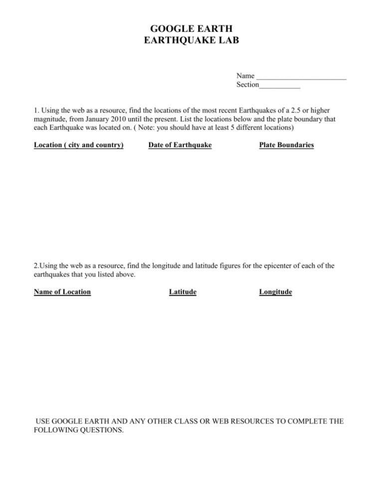
GOOGLE EARTH EARTHQUAKE LAB Name ________________________ Section___________ 1. Using the web as a resource, find the locations of the most recent Earthquakes of a 2.5 or higher magnitude, from January 2010 until the present. List the locations below and the plate boundary that each Earthquake was located on. ( Note: you should have at least 5 different locations) Location ( city and country) Date of Earthquake Plate Boundaries 2.Using the web as a resource, find the longitude and latitude figures for the epicenter of each of the earthquakes that you listed above. Name of Location Latitude Longitude USE GOOGLE EARTH AND ANY OTHER CLASS OR WEB RESOURCES TO COMPLETE THE FOLLOWING QUESTIONS. GOOGLE EARTH EARTHQUAKE LAB 3. Locate each of the Earthquake epicenters by typing in the city and country in the “Fly to” search line of Google Earth. Note: the longitude and latitude coordinates are at the bottom of the screen to help you navigate ( using the directional and zoom tools on the right side of the image) to the exact epicenter location. Complete the Observation chart below for each location. Location Name Imagery Date Observations of location (Incl: damage assessment, population, fault line) GOOGLE EARTH EARTHQUAKE LAB 4. Using GOOGLE Earth, the web, your plate boundary and earth’s ocean floor charts, as well as your textbook charts, locate the midocean ridges and/or trenches closest to each of the epicenter locations and complete the chart below. Note: you can find the name of the trench or ridge and type it into the “Fly to” selection menu. Explore under the water using the Ocean selection menu Use the Google Earth User Guide to help you if needed: http://earth.google.com/intl/en/userguide/v5/#water Name of Location Name of Trench or Ridge Observations (incl. subduction, spreading, topography, etc.)
