Indonesia - Japan Oceanographic Data Center
advertisement
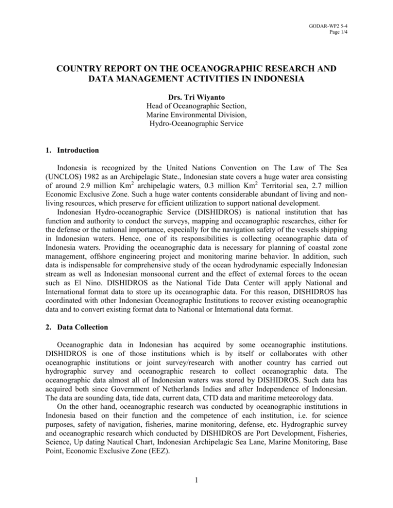
GODAR-WP2 5-4 Page 1/4 COUNTRY REPORT ON THE OCEANOGRAPHIC RESEARCH AND DATA MANAGEMENT ACTIVITIES IN INDONESIA Drs. Tri Wiyanto Head of Oceanographic Section, Marine Environmental Division, Hydro-Oceanographic Service 1. Introduction Indonesia is recognized by the United Nations Convention on The Law of The Sea (UNCLOS) 1982 as an Archipelagic State., Indonesian state covers a huge water area consisting of around 2.9 million Km2 archipelagic waters, 0.3 million Km2 Territorial sea, 2.7 million Economic Exclusive Zone. Such a huge water contents considerable abundant of living and nonliving resources, which preserve for efficient utilization to support national development. Indonesian Hydro-oceanographic Service (DISHIDROS) is national institution that has function and authority to conduct the surveys, mapping and oceanographic researches, either for the defense or the national importance, especially for the navigation safety of the vessels shipping in Indonesian waters. Hence, one of its responsibilities is collecting oceanographic data of Indonesia waters. Providing the oceanographic data is necessary for planning of coastal zone management, offshore engineering project and monitoring marine behavior. In addition, such data is indispensable for comprehensive study of the ocean hydrodynamic especially Indonesian stream as well as Indonesian monsoonal current and the effect of external forces to the ocean such as El Nino. DISHIDROS as the National Tide Data Center will apply National and International format data to store up its oceanographic data. For this reason, DISHIDROS has coordinated with other Indonesian Oceanographic Institutions to recover existing oceanographic data and to convert existing format data to National or International data format. 2. Data Collection Oceanographic data in Indonesian has acquired by some oceanographic institutions. DISHIDROS is one of those institutions which is by itself or collaborates with other oceanographic institutions or joint survey/research with another country has carried out hydrographic survey and oceanographic research to collect oceanographic data. The oceanographic data almost all of Indonesian waters was stored by DISHIDROS. Such data has acquired both since Government of Netherlands Indies and after Independence of Indonesian. The data are sounding data, tide data, current data, CTD data and maritime meteorology data. On the other hand, oceanographic research was conducted by oceanographic institutions in Indonesia based on their function and the competence of each institution, i.e. for science purposes, safety of navigation, fisheries, marine monitoring, defense, etc. Hydrographic survey and oceanographic research which conducted by DISHIDROS are Port Development, Fisheries, Science, Up dating Nautical Chart, Indonesian Archipelagic Sea Lane, Marine Monitoring, Base Point, Economic Exclusive Zone (EEZ). 1 GODAR-WP2 5-4 Page 2/4 3. Current Status CTD X X X X X X X X X X X X X X X NAUTICAL INFO NAUTICAL CHART X CRRENT X X X TIDE CHEMICAL OF SEA WATER 1 2 3 4 5 6 7 INSTITUTION DISHIDROS BPPT BAKOSURTANAL LIPI PPGL DKP BMG GEOLOGY MARINE METEOROLOGY MARINE The institutions to collect the Ocean Data in Indonesia REMARKS X X Note DISHIDROS BPPT = HYDRO-OCEANOGRAPHIC SERVICE = AGENCY FOR THE ASSESSMENT AND APPLICATION OF TECHNOLOGY BAKOSURTANAL = NATIONAL COORDINATION FOR SURVEY AND MAPPING AGENCY LIPI = INDONESIAN INSTITUTE OF SCIENCES PPGL = MARINE GEOLOGY RESEARCH CENTER DKP = DEPARTMENT OF MARINE AND FISHERIES BMG = METEOROLOGICAL AND GEOPHYSICAL AGENCY 4. Policy of Oceanographic Data at DISHIDROS a. Data Processing and Analyzing The collected data are firstly entered in the processing section to control the data quality, so the valid data can be continued to be processed and analyzed furthermore, while first of all the doubtful accuracy data are memorized to be checked in the next survey. The data processing and analyzing are done by the personnel’s having the hydrographic qualification and conformed to the requested output. The produced data and informations are memorized in two forms, firstly in hard copy form, and secondly in digital data-base or in the computer / CD / disc. Follow up GODAR-WESTPAC meeting 2001, DISHIDROS has been converted oceanography data format from hard copy to be digital data as IODE format and inventory 2 GODAR-WP2 5-4 Page 3/4 old data of oceanography. The Oceanography dates which have been converted to be IODE format as follows: (1) Current data, tide, and Maritime geography data of the Makasar Strait waters. (2) Current data, tide and maritime meteorology data of ALKI ( Indonesian Archipelagic Sea Lane) I – III. (3) Temperature data, salinity, conductivity and sound velocity data of around of Kalimantan Island waters. Oceanography data which had been inventoried as follows : (1) Temperature data, salinity, Sigma-T, O2, PO4 Year 1964 of Java Sea Waters, Alas Strait, Sunda Strait, Flores sea waters, Banda Sea waters And Arafuru Sea. (2) Temperature data, salinity, O2 , PO4 Year 1965 of Java Sea waters, Roti Strait and Indian oceans. (3) Temperature data, salinity, sigma-T, O2 Year 1967 of Makassar Strait Waters, Banda Sea, Arafuru Sea and Flores Sea. (4) Temperature data, Salinity, Sigma-T Year 1967 of Arafuru waters. (5) Temperature data, salinity, O2, PO4 Year 1967 of South of China Sea and Karimata Strait. (6) Temperature data, salinity, O2 Year 1967 of Sulawesi Sea and Makassar Strait. (7) Temperature data, salinity, O2, PO4 Year 1967 of Arafuru Sea, Timor sea and Sawu. sea (8) Temperature data, salinity, sigma-T, O2 Year 1968 of Maluku Sea and Banda Sea. (9) Temperature data, salinity, Sigma-T, O2, pH Year 1968 of Java Sea b. Information/Data Classification Data/information is classified into 3 groups, including the secret, restricted and (open) data. The secret information/data is the data/information used to the defense/military purpose. The restricted data means that the data/information can be used in the limited field. While the usual classification is concerned to the open data/information. The determination of the oceanographic data classification is so complex if it is faced to the maritime people requiring the oceanographic data, because the oceanographic data depend on the technology, the methods, the purposes, and the personnel capabilities in processing and analyzing. c. Information/Data Distribution In supporting the main functions of DISHIDROS, one of them is for the public service, so the products are distributed by the section of the production and distribution, while the data/information services are carried out by the section of the hydrooceanographic data information memorizing all the oceanographic data of DISHIDROS. In the services of the oceanographic data requests to DISHIDROS, the process is not too difficult, moreover for the government institutions or the students conducting the research. DISHIDROS always gives the data (if there are the requested data), only by proposing the formal letter from the relevant institution. The cases of the data requests by personal will be checked and investigated first of all. 3 GODAR-WP2 5-4 Page 4/4 5. Conclusion a. DISHIDROS is one of Indonesian oceanographic institutions and one of its responsibilities to collect oceanography data, through oceanography research and hydrographic survey in Indonesian waters. b. DISHIDROS stores up the oceanographic data almost all of Indonesian waters, such as sounding data, tide data, current data, CTD and maritime meteorology data. c. Which one function of DISHIDROS is public service, having policy to make IODE format for oceanography at the future. 4
