Recording Latitude, Longitude, or other Geographic Coordinates in
advertisement
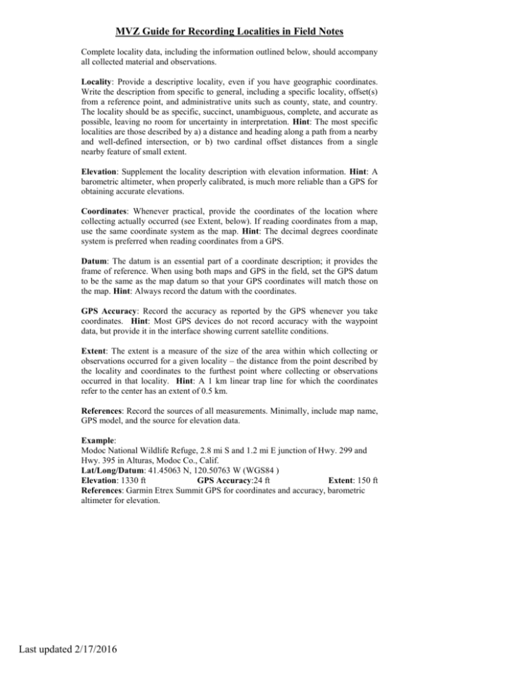
MVZ Guide for Recording Localities in Field Notes Complete locality data, including the information outlined below, should accompany all collected material and observations. Locality: Provide a descriptive locality, even if you have geographic coordinates. Write the description from specific to general, including a specific locality, offset(s) from a reference point, and administrative units such as county, state, and country. The locality should be as specific, succinct, unambiguous, complete, and accurate as possible, leaving no room for uncertainty in interpretation. Hint: The most specific localities are those described by a) a distance and heading along a path from a nearby and well-defined intersection, or b) two cardinal offset distances from a single nearby feature of small extent. Elevation: Supplement the locality description with elevation information. Hint: A barometric altimeter, when properly calibrated, is much more reliable than a GPS for obtaining accurate elevations. Coordinates: Whenever practical, provide the coordinates of the location where collecting actually occurred (see Extent, below). If reading coordinates from a map, use the same coordinate system as the map. Hint: The decimal degrees coordinate system is preferred when reading coordinates from a GPS. Datum: The datum is an essential part of a coordinate description; it provides the frame of reference. When using both maps and GPS in the field, set the GPS datum to be the same as the map datum so that your GPS coordinates will match those on the map. Hint: Always record the datum with the coordinates. GPS Accuracy: Record the accuracy as reported by the GPS whenever you take coordinates. Hint: Most GPS devices do not record accuracy with the waypoint data, but provide it in the interface showing current satellite conditions. Extent: The extent is a measure of the size of the area within which collecting or observations occurred for a given locality – the distance from the point described by the locality and coordinates to the furthest point where collecting or observations occurred in that locality. Hint: A 1 km linear trap line for which the coordinates refer to the center has an extent of 0.5 km. References: Record the sources of all measurements. Minimally, include map name, GPS model, and the source for elevation data. Example: Modoc National Wildlife Refuge, 2.8 mi S and 1.2 mi E junction of Hwy. 299 and Hwy. 395 in Alturas, Modoc Co., Calif. Lat/Long/Datum: 41.45063 N, 120.50763 W (WGS84 ) Elevation: 1330 ft GPS Accuracy:24 ft Extent: 150 ft References: Garmin Etrex Summit GPS for coordinates and accuracy, barometric altimeter for elevation. Last updated 2/17/2016

