Earth Science: Climate Patterns Worksheet
advertisement
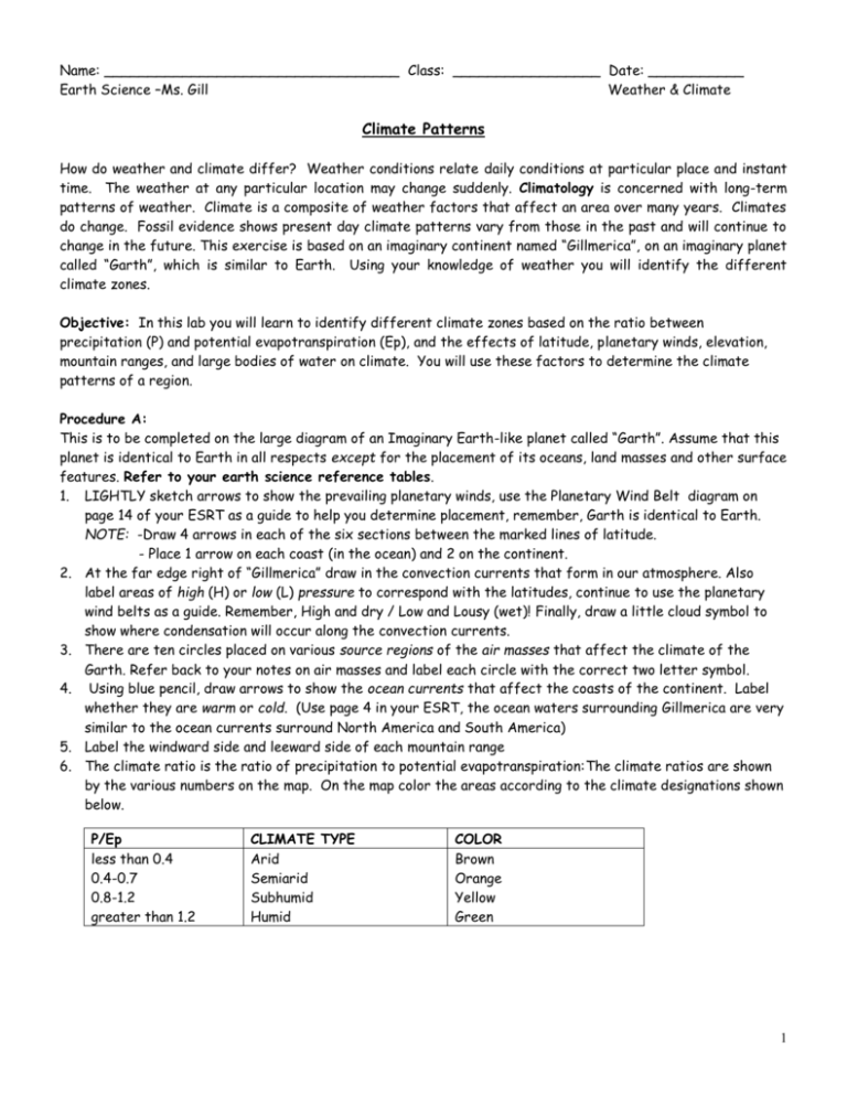
Name: __________________________________ Class: _________________ Date: ___________ Earth Science –Ms. Gill Weather & Climate Climate Patterns How do weather and climate differ? Weather conditions relate daily conditions at particular place and instant time. The weather at any particular location may change suddenly. Climatology is concerned with long-term patterns of weather. Climate is a composite of weather factors that affect an area over many years. Climates do change. Fossil evidence shows present day climate patterns vary from those in the past and will continue to change in the future. This exercise is based on an imaginary continent named “Gillmerica”, on an imaginary planet called “Garth”, which is similar to Earth. Using your knowledge of weather you will identify the different climate zones. Objective: In this lab you will learn to identify different climate zones based on the ratio between precipitation (P) and potential evapotranspiration (Ep), and the effects of latitude, planetary winds, elevation, mountain ranges, and large bodies of water on climate. You will use these factors to determine the climate patterns of a region. Procedure A: This is to be completed on the large diagram of an Imaginary Earth-like planet called “Garth”. Assume that this planet is identical to Earth in all respects except for the placement of its oceans, land masses and other surface features. Refer to your earth science reference tables. 1. LIGHTLY sketch arrows to show the prevailing planetary winds, use the Planetary Wind Belt diagram on page 14 of your ESRT as a guide to help you determine placement, remember, Garth is identical to Earth. NOTE: -Draw 4 arrows in each of the six sections between the marked lines of latitude. - Place 1 arrow on each coast (in the ocean) and 2 on the continent. 2. At the far edge right of “Gillmerica” draw in the convection currents that form in our atmosphere. Also label areas of high (H) or low (L) pressure to correspond with the latitudes, continue to use the planetary wind belts as a guide. Remember, High and dry / Low and Lousy (wet)! Finally, draw a little cloud symbol to show where condensation will occur along the convection currents. 3. There are ten circles placed on various source regions of the air masses that affect the climate of the Garth. Refer back to your notes on air masses and label each circle with the correct two letter symbol. 4. Using blue pencil, draw arrows to show the ocean currents that affect the coasts of the continent. Label whether they are warm or cold. (Use page 4 in your ESRT, the ocean waters surrounding Gillmerica are very similar to the ocean currents surround North America and South America) 5. Label the windward side and leeward side of each mountain range 6. The climate ratio is the ratio of precipitation to potential evapotranspiration:The climate ratios are shown by the various numbers on the map. On the map color the areas according to the climate designations shown below. P/Ep less than 0.4 0.4-0.7 0.8-1.2 greater than 1.2 CLIMATE TYPE Arid Semiarid Subhumid Humid COLOR Brown Orange Yellow Green 1 2 Procedure B: 1. Using the six climographs provided on the next page, calculate the P/Ep for each location putting the information on the climograph page as well as on the report sheet below. Also include the climate type by looking at the chart on page 1. 2. Find one area on the map (page 2 of an imaginary planet) that best fits each climograph and write in the number at the location using a red colored pencil. DATA FOR PROCEDURE B Location Biome Letter 1 A Climate Ratio Climate Type Description Tropical Rain Forest 2 B Marine West Coast 3 C Low Latitude Desert 4 D Northern Continental 5 E Mid Latitude Grassland 6 F High Latitude Tundra #1 P/EP __________ #2 P/EP __________ Climate Type: ______________ Climate Type: ______________ #3 P/EP __________ #4 P/EP __________ Climate Type: ______________ Climate Type: ______________ #5 P/EP __________ #6 P/EP __________ Climate Type: ______________ Climate Type: ______________ 3 Vocabulary Words: Define each word. For extra credit include a picture for vocab words #4-#8 1. Climate 2. Climograph 3. Evapotranspiration 4. Arid 5. Humid 6. Desert 7. Temperate 8. Tundra DISCUSSION QUESTIONS: (Answer in Complete Sentences typed or written on separate sheet) 1. How can you use the calculation of the climate ratio (P/Ep) to determine a climate type? 2. As latitude increases, what general changes occur in climate patterns? 3. As elevation increases, what general changes occur in climate patterns? 4. What effect does a large body of water have on the climate of a nearby landmass? 5. How does a range of mountains affect the climate of a region? 6. How do planetary wind belts affect the climate of a landmass in the mid-latitudes? 7. How do the monthly temperatures on a climograph allow you to determine whether an area is in the northern or southern hemisphere? 8. What differences would you expect to find in two climographs representing coastal and inland locations at the same latitude? 9. Describe the difference in climates that you would expect to find if an Earth-like planet had a 35° tilt of its axis instead of the 23 ½ ° tilt of Earth. 10. Conclusion: What factors must you consider in order to predict the climate of an Erath-like planet in space? 4
