Physical Patterns in Geography Climatic Patterns
advertisement
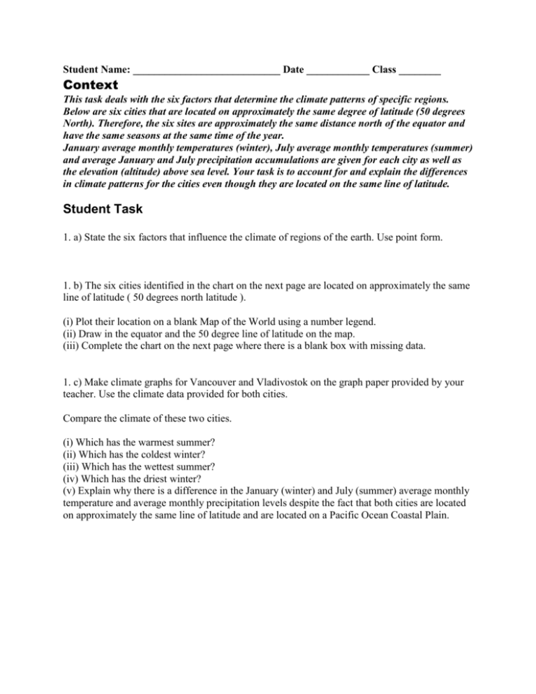
Student Name: ____________________________ Date ____________ Class ________ Context This task deals with the six factors that determine the climate patterns of specific regions. Below are six cities that are located on approximately the same degree of latitude (50 degrees North). Therefore, the six sites are approximately the same distance north of the equator and have the same seasons at the same time of the year. January average monthly temperatures (winter), July average monthly temperatures (summer) and average January and July precipitation accumulations are given for each city as well as the elevation (altitude) above sea level. Your task is to account for and explain the differences in climate patterns for the cities even though they are located on the same line of latitude. Student Task 1. a) State the six factors that influence the climate of regions of the earth. Use point form. 1. b) The six cities identified in the chart on the next page are located on approximately the same line of latitude ( 50 degrees north latitude ). (i) Plot their location on a blank Map of the World using a number legend. (ii) Draw in the equator and the 50 degree line of latitude on the map. (iii) Complete the chart on the next page where there is a blank box with missing data. 1. c) Make climate graphs for Vancouver and Vladivostok on the graph paper provided by your teacher. Use the climate data provided for both cities. Compare the climate of these two cities. (i) Which has the warmest summer? (ii) Which has the coldest winter? (iii) Which has the wettest summer? (iv) Which has the driest winter? (v) Explain why there is a difference in the January (winter) and July (summer) average monthly temperature and average monthly precipitation levels despite the fact that both cities are located on approximately the same line of latitude and are located on a Pacific Ocean Coastal Plain.
