CDocuments_and_Settingslesley
advertisement
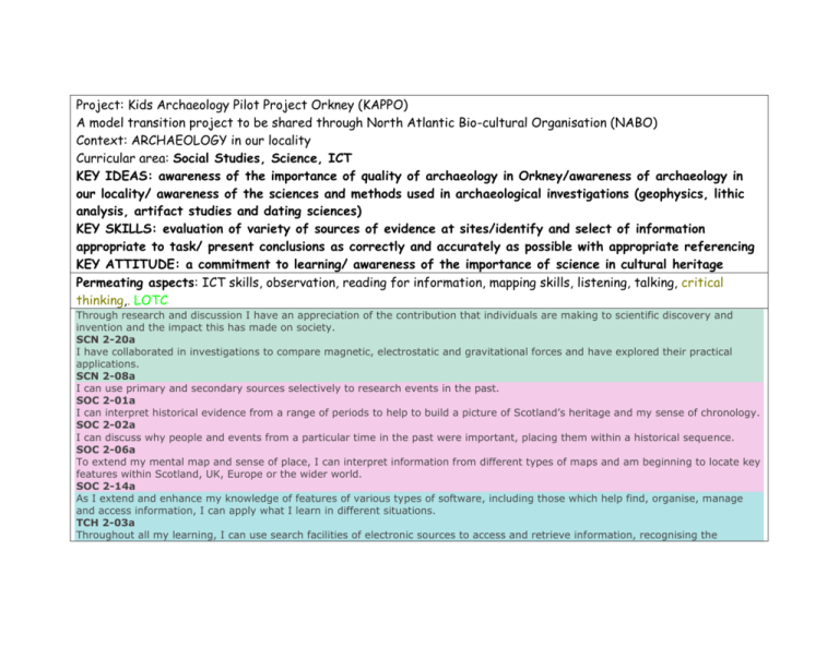
Project: Kids Archaeology Pilot Project Orkney (KAPPO) A model transition project to be shared through North Atlantic Bio-cultural Organisation (NABO) Context: ARCHAEOLOGY in our locality Curricular area: Social Studies, Science, ICT KEY IDEAS: awareness of the importance of quality of archaeology in Orkney/awareness of archaeology in our locality/ awareness of the sciences and methods used in archaeological investigations (geophysics, lithic analysis, artifact studies and dating sciences) KEY SKILLS: evaluation of variety of sources of evidence at sites/identify and select of information appropriate to task/ present conclusions as correctly and accurately as possible with appropriate referencing KEY ATTITUDE: a commitment to learning/ awareness of the importance of science in cultural heritage Permeating aspects: ICT skills, observation, reading for information, mapping skills, listening, talking, critical thinking,. LOTC Through research and discussion I have an appreciation of the contribution that individuals are making to scientific discovery and invention and the impact this has made on society. SCN 2-20a I have collaborated in investigations to compare magnetic, electrostatic and gravitational forces and have explored their practical applications. SCN 2-08a I can use primary and secondary sources selectively to research events in the past. SOC 2-01a I can interpret historical evidence from a range of periods to help to build a picture of Scotland’s heritage and my sense of chronology. SOC 2-02a I can discuss why people and events from a particular time in the past were important, placing them within a historical sequence. SOC 2-06a To extend my mental map and sense of place, I can interpret information from different types of maps and am beginning to locate key features within Scotland, UK, Europe or the wider world. SOC 2-14a As I extend and enhance my knowledge of features of various types of software, including those which help find, organise, manage and access information, I can apply what I learn in different situations. TCH 2-03a Throughout all my learning, I can use search facilities of electronic sources to access and retrieve information, recognising the importance this has in my place of learning, at home and in the workplace. TCH 2-03b I explore and experiment with the features and functions of computer technology and I can use what I learn to support and enhance my learning in different contexts. TCH 2-04a I can create, capture and manipulate sounds, text and images to communicate experiences, ideas and information in creative and engaging ways. TCH 2-04b Activities and Resources: Method Week 1: Investigate Orkney archaeology. Why is it important ?(level of preservation/ finds include everyday objects). What ‘ages’ are evidenced? (Include WW2) Presentation by CWJ Questions Growing up in Orkney – create a presentation which describes how much we are aware of archaeology growing up in Orkney. Week 2: Tour of World Heritage sites. Brodgar, Skara Brae, Gurness. 3 groups report on a site each. Place in chronology back in class. Investigate 3 objects Scar board, Westray Wife, Orkney Hood Week 3:Visit the archive and museum. Find archive materials showing maps of Peedie Sea. Whole Class/teacher. Display. Classroom follow-up: use http://www.old-maps.co.uk/maps.html to compare locality. Investigate place names. Choose 4 or 5 from map and find origin and meaning. Make notes on copyright and referencing. At museum develop awareness of chronology. Orient ‘timeline’ of museum. Split into groups to choose and photograph significant Orkney objects. Find out: Date of object. When, where found, by who. Classroom follow-up: organize into ‘ages’. Week 4:Walk in the locality - Hatston Classroom pre-walk activity: Use Canmore http://www.rcahms.gov.uk/canmore.html to search for archaeological sites in the locality. (Picky Mound, Earth house, Road names, slipway, Ayre Mills) Look at maps of old Kirkwall. Peedie sea and water levels, reclaimed land) Week 5:Walk in the locality: Wideford Walk to tomb from school. Look for sites or locations found on Canmore. Week 6:Fieldwork Classroom pre-fieldwork activity: Visit from Mary Saunders ORCA to explain geophysics process and tools. Visit Chris Gee’s field site to field walk OR Visit eroding out site with Julie Gibson. Chris Gee to show us finds from the field. Photograph or draw and add to map. Groups with GPS Maps of locality Cameras Teacher guides for both walks. Laminated cards with images and descriptions of objects found in the locality with GPS coordinates of where they were found. Maps for annotating and recording walk and Week 7: Add information to our map. Design interpretation board for Picky Mound. Create model of burnt mound and possible building similar to Liddle in S.Ron. Ongoing: Create a display at a central point in the school showing how all the ‘ages’ occurred. The illustration should use layers. Deepest/oldest. There should be laminated cards of ‘finds’ to layers to show how Vikings relate to Neolithic and so on. Week 8: Complete map (overlay?) with all information found out about archaeology in our locality. Share through NABO. JG show slides of erosion and discussion of coastal erosion affecting sites. locations. Large hinged 3 piece board. Art teacher to Google maps overlays with GPS coordinates which match primary map.
