ESGN 527 Environmental Systems Analysis Lab #2
advertisement
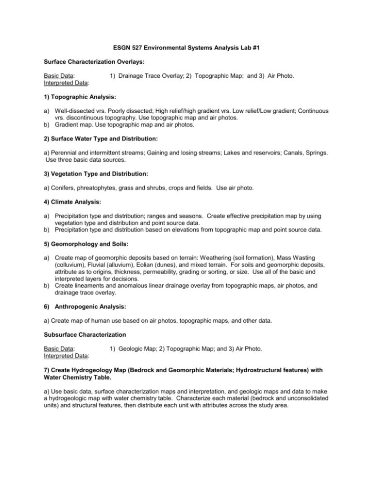
ESGN 527 Environmental Systems Analysis Lab #1 Surface Characterization Overlays: Basic Data: Interpreted Data: 1) Drainage Trace Overlay; 2) Topographic Map; and 3) Air Photo. 1) Topographic Analysis: a) Well-dissected vrs. Poorly dissected; High relief/high gradient vrs. Low relief/Low gradient; Continuous vrs. discontinuous topography. Use topographic map and air photos. b) Gradient map. Use topographic map and air photos. 2) Surface Water Type and Distribution: a) Perennial and intermittent streams; Gaining and losing streams; Lakes and reservoirs; Canals, Springs. Use three basic data sources. 3) Vegetation Type and Distribution: a) Conifers, phreatophytes, grass and shrubs, crops and fields. Use air photo. 4) Climate Analysis: a) Precipitation type and distribution; ranges and seasons. Create effective precipitation map by using vegetation type and distribution and point source data. b) Precipitation type and distribution based on elevations from topographic map and point source data. 5) Geomorphology and Soils: a) Create map of geomorphic deposits based on terrain: Weathering (soil formation), Mass Wasting (colluvium), Fluvial (alluvium), Eolian (dunes), and mixed terrain. For soils and geomorphic deposits, attribute as to origins, thickness, permeability, grading or sorting, or size. Use all of the basic and interpreted layers for decisions. b) Create lineaments and anomalous linear drainage overlay from topographic maps, air photos, and drainage trace overlay. 6) Anthropogenic Analysis: a) Create map of human use based on air photos, topographic maps, and other data. Subsurface Characterization Basic Data: Interpreted Data: 1) Geologic Map; 2) Topographic Map; and 3) Air Photo. 7) Create Hydrogeology Map (Bedrock and Geomorphic Materials; Hydrostructural features) with Water Chemistry Table. a) Use basic data, surface characterization maps and interpretation, and geologic maps and data to make a hydrogeologic map with water chemistry table. Characterize each material (bedrock and unconsolidated units) and structural features, then distribute each unit with attributes across the study area. 8) Create Ground Water System Map and Cross-Sections (2). Orient Cross-Sections to Show Flow Paths. a) Use topography, surface water type and distribution, vegetation type and distribution, climate, geomorphology and soils, geology, hydrogeology, and hydrochemistry information to create ground water systems map and cross-sections. b) Calculate mass balance of shallow ground-water system in the locations of the cross sections. 9) Create Map to Assess Surface Water Supply and Surface Water Quality Table. a) Show surface watersheds and flow patterns on the map. Include a table of potential water quality (chemistry) based on analysis at strategic locations. Use all basic and interpreted layers. 10) Develop Sampling Plan to Characterize Envirochemistry of Surface & Ground-Water Systems. a) Evaluate water quality and quantity for the environmental system in final report (5 pages max). b) Include chemical contributions from atmosphere, soils, rock materials, vegetation, and human sources, transport, and fate. Use all basic and interpreted layers. c) Indicate surface water/ground-water interactions.


