S05_ProblemSet1 - The University of Texas at Dallas
advertisement
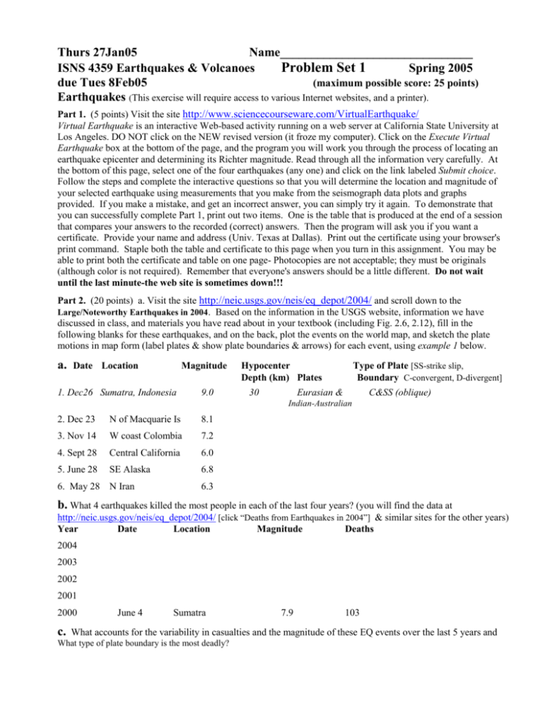
Thurs 27Jan05 Name_______________________________ ISNS 4359 Earthquakes & Volcanoes Problem Set 1 Spring 2005 due Tues 8Feb05 (maximum possible score: 25 points) Earthquakes (This exercise will require access to various Internet websites, and a printer). Part 1. (5 points) Visit the site http://www.sciencecourseware.com/VirtualEarthquake/ Virtual Earthquake is an interactive Web-based activity running on a web server at California State University at Los Angeles. DO NOT click on the NEW revised version (it froze my computer). Click on the Execute Virtual Earthquake box at the bottom of the page, and the program you will work you through the process of locating an earthquake epicenter and determining its Richter magnitude. Read through all the information very carefully. At the bottom of this page, select one of the four earthquakes (any one) and click on the link labeled Submit choice. Follow the steps and complete the interactive questions so that you will determine the location and magnitude of your selected earthquake using measurements that you make from the seismograph data plots and graphs provided. If you make a mistake, and get an incorrect answer, you can simply try it again. To demonstrate that you can successfully complete Part 1, print out two items. One is the table that is produced at the end of a session that compares your answers to the recorded (correct) answers. Then the program will ask you if you want a certificate. Provide your name and address (Univ. Texas at Dallas). Print out the certificate using your browser's print command. Staple both the table and certificate to this page when you turn in this assignment. You may be able to print both the certificate and table on one page- Photocopies are not acceptable; they must be originals (although color is not required). Remember that everyone's answers should be a little different. Do not wait until the last minute-the web site is sometimes down!!! Part 2. (20 points) a. Visit the site http://neic.usgs.gov/neis/eq_depot/2004/ and scroll down to the Large/Noteworthy Earthquakes in 2004. Based on the information in the USGS website, information we have discussed in class, and materials you have read about in your textbook (including Fig. 2.6, 2.12), fill in the following blanks for these earthquakes, and on the back, plot the events on the world map, and sketch the plate motions in map form (label plates & show plate boundaries & arrows) for each event, using example 1 below. a. Date Location Magnitude 1. Dec26 Sumatra, Indonesia 9.0 Hypocenter Depth (km) Plates 30 Type of Plate [SS-strike slip, Boundary C-convergent, D-divergent] Eurasian & C&SS (oblique) Indian-Australian 2. Dec 23 N of Macquarie Is 8.1 3. Nov 14 W coast Colombia 7.2 4. Sept 28 Central California 6.0 5. June 28 SE Alaska 6.8 6. May 28 N Iran 6.3 b. What 4 earthquakes killed the most people in each of the last four years? (you will find the data at http://neic.usgs.gov/neis/eq_depot/2004/ [click “Deaths from Earthquakes in 2004”] & similar sites for the other years) Year Date Location Magnitude Deaths 2004 2003 2002 2001 2000 c. June 4 Sumatra 7.9 103 What accounts for the variability in casualties and the magnitude of these EQ events over the last 5 years and What type of plate boundary is the most deadly? d. Sketch Plate Tectonic Maps for the 5 Earthquakes using 1. as an example & plot their locations on the world map below. 1. Dec26, Sumatra, Indonesia M9.0; 4. . Sept 28, Central California, M6.0; 2. Dec 23, N of Macquarie Is, M8.1; 3. Nov 14, W coast Colombia, M7.2 5. June 28, SE Alaska, M6.8; 6. May 28, N Iran, M6.3


