Chapter 3 Definitions - Moore Public Schools
advertisement
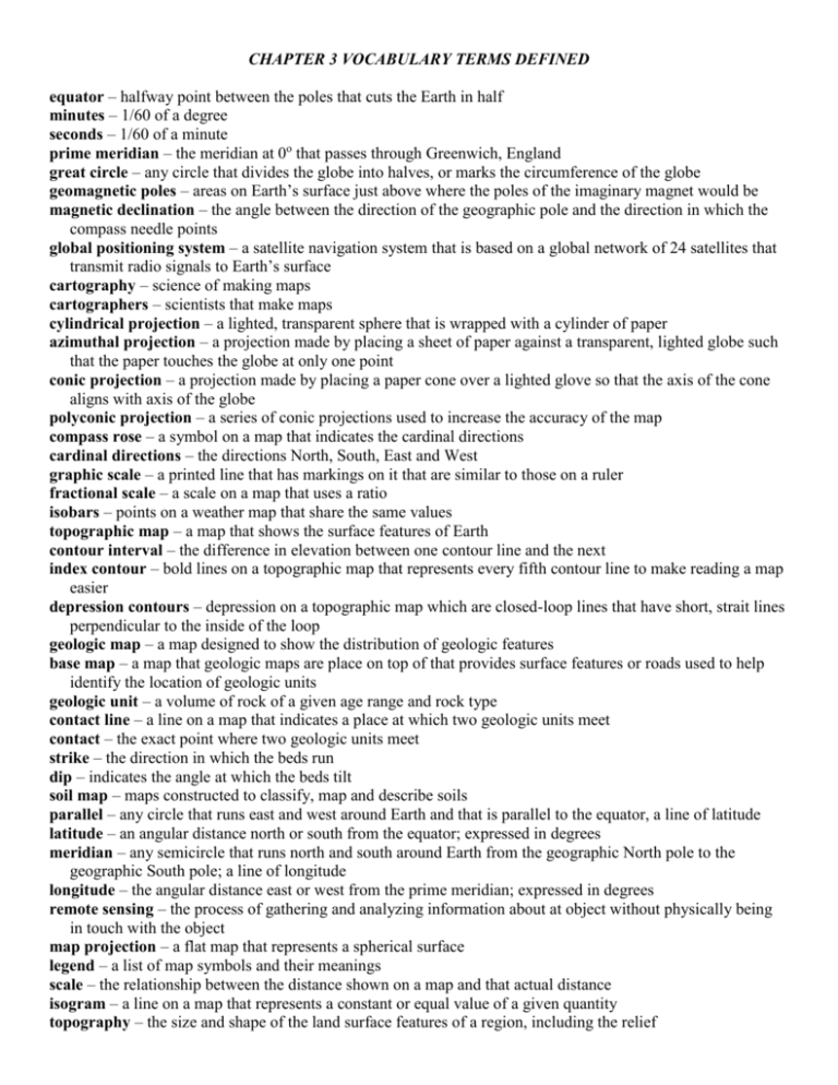
CHAPTER 3 VOCABULARY TERMS DEFINED equator – halfway point between the poles that cuts the Earth in half minutes – 1/60 of a degree seconds – 1/60 of a minute prime meridian – the meridian at 0o that passes through Greenwich, England great circle – any circle that divides the globe into halves, or marks the circumference of the globe geomagnetic poles – areas on Earth’s surface just above where the poles of the imaginary magnet would be magnetic declination – the angle between the direction of the geographic pole and the direction in which the compass needle points global positioning system – a satellite navigation system that is based on a global network of 24 satellites that transmit radio signals to Earth’s surface cartography – science of making maps cartographers – scientists that make maps cylindrical projection – a lighted, transparent sphere that is wrapped with a cylinder of paper azimuthal projection – a projection made by placing a sheet of paper against a transparent, lighted globe such that the paper touches the globe at only one point conic projection – a projection made by placing a paper cone over a lighted glove so that the axis of the cone aligns with axis of the globe polyconic projection – a series of conic projections used to increase the accuracy of the map compass rose – a symbol on a map that indicates the cardinal directions cardinal directions – the directions North, South, East and West graphic scale – a printed line that has markings on it that are similar to those on a ruler fractional scale – a scale on a map that uses a ratio isobars – points on a weather map that share the same values topographic map – a map that shows the surface features of Earth contour interval – the difference in elevation between one contour line and the next index contour – bold lines on a topographic map that represents every fifth contour line to make reading a map easier depression contours – depression on a topographic map which are closed-loop lines that have short, strait lines perpendicular to the inside of the loop geologic map – a map designed to show the distribution of geologic features base map – a map that geologic maps are place on top of that provides surface features or roads used to help identify the location of geologic units geologic unit – a volume of rock of a given age range and rock type contact line – a line on a map that indicates a place at which two geologic units meet contact – the exact point where two geologic units meet strike – the direction in which the beds run dip – indicates the angle at which the beds tilt soil map – maps constructed to classify, map and describe soils parallel – any circle that runs east and west around Earth and that is parallel to the equator, a line of latitude latitude – an angular distance north or south from the equator; expressed in degrees meridian – any semicircle that runs north and south around Earth from the geographic North pole to the geographic South pole; a line of longitude longitude – the angular distance east or west from the prime meridian; expressed in degrees remote sensing – the process of gathering and analyzing information about at object without physically being in touch with the object map projection – a flat map that represents a spherical surface legend – a list of map symbols and their meanings scale – the relationship between the distance shown on a map and that actual distance isogram – a line on a map that represents a constant or equal value of a given quantity topography – the size and shape of the land surface features of a region, including the relief elevation – the height of an object above sea level contour line – a line that connects points of equal elevation on a map relief – the difference between the highest and lowest elevation in a given area


