Notebook 1 - Somerset Independent Schools
advertisement
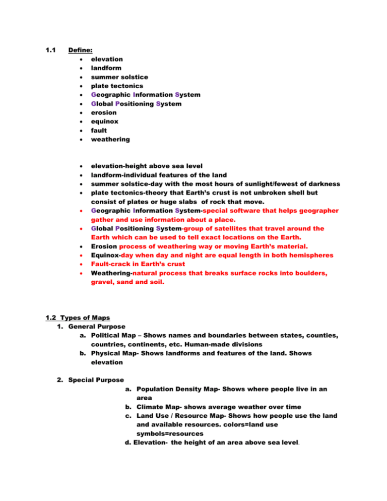
1.1 Define: elevation landform summer solstice plate tectonics Geographic Information System Global Positioning System erosion equinox fault weathering elevation-height above sea level landform-individual features of the land summer solstice-day with the most hours of sunlight/fewest of darkness plate tectonics-theory that Earth’s crust is not unbroken shell but consist of plates or huge slabs of rock that move. Geographic Information System-special software that helps geographer gather and use information about a place. Global Positioning System-group of satellites that travel around the Earth which can be used to tell exact locations on the Earth. Erosion process of weathering way or moving Earth’s material. Equinox-day when day and night are equal length in both hemispheres Fault-crack in Earth’s crust Weathering-natural process that breaks surface rocks into boulders, gravel, sand and soil. 1.2 Types of Maps 1. General Purpose a. Political Map – Shows names and boundaries between states, counties, countries, continents, etc. Human-made divisions b. Physical Map- Shows landforms and features of the land. Shows elevation 2. Special Purpose a. Population Density Map- Shows where people live in an area b. Climate Map- shows average weather over time c. Land Use / Resource Map- Shows how people use the land and available resources. colors=land use symbols=resources d. Elevation- the height of an area above sea level. 1.3 Map Projections The earth is round Maps are flat and square A round surface cannot be made both flat and square 1. Globe- best possible representation of the earth because it is round, but it lacks detail and is not practical 2. Projections- different ways to make a round earth look flat on a map a. Mercator Projection- Simple, square, but distorts the polar regions by making them look too big. b. Conic Projection- Cone-shaped, accurate but only covers a small area and isn’t square. c. Robinson Projection- Most accurate world projection. Frequently used in schools Cartographer- a person who makes maps Environment-surroundings Geography-study of the world and its variety Hemisphere-half the earth Sphere- round, like a ball Population density-how crowded a place is/ number of people who live in a square mile Elevation-height above sea level 1.4 Parts of Maps and Directions Vocabulary: North Map scale (scale bar) Key/legend West East Compass- a device that always points to Magnetic north North magnetic pole- a spot in northern Canada to which all compasses point South Cardinal directionsNorth, West, East, South Intermediate DirectionsSouthwest, Northwest, Northeast, Southeast NW **A Compass Rose Will Spell “WE” If It’s Correct Usually on a map… North is at the top SW South is at the bottom West is to the left East is to the right *Intermediate Directions- Always Say North or South First NE SE 1.5 Questions Pages 22-27 Vocabulary: Landform- features of the land (mountains, hills, rivers, etc) Artifact- something old made by people Answer: What are the two main branches of geography? P. 23-24 Human (study of people) Physical (study of earth) What is one way in which geographers gather information to make accurate maps? P.24 Photos and images from a high vantage point What do the initials G.P.S stand for? p.25 Global Positioning System What are three uses of geography? P. 26 Planning, resources, decision making On what do historians rely in order to construct their stories of the past? P.27 Written records What are four examples of artifacts? P.27 Tools, paintings, weapons, pottery
