ccny lidar
advertisement
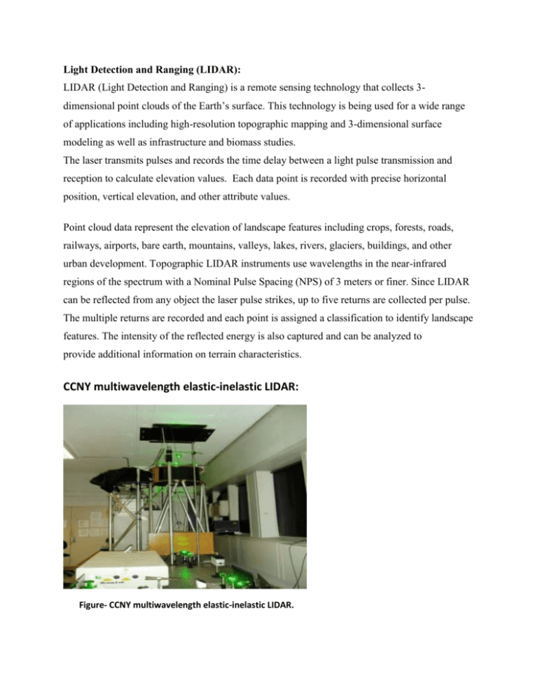
Light Detection and Ranging (LIDAR): LIDAR (Light Detection and Ranging) is a remote sensing technology that collects 3dimensional point clouds of the Earth’s surface. This technology is being used for a wide range of applications including high-resolution topographic mapping and 3-dimensional surface modeling as well as infrastructure and biomass studies. The laser transmits pulses and records the time delay between a light pulse transmission and reception to calculate elevation values. Each data point is recorded with precise horizontal position, vertical elevation, and other attribute values. Point cloud data represent the elevation of landscape features including crops, forests, roads, railways, airports, bare earth, mountains, valleys, lakes, rivers, glaciers, buildings, and other urban development. Topographic LIDAR instruments use wavelengths in the near-infrared regions of the spectrum with a Nominal Pulse Spacing (NPS) of 3 meters or finer. Since LIDAR can be reflected from any object the laser pulse strikes, up to five returns are collected per pulse. The multiple returns are recorded and each point is assigned a classification to identify landscape features. The intensity of the reflected energy is also captured and can be analyzed to provide additional information on terrain characteristics. CCNY multiwavelength elastic-inelastic LIDAR: Figure- CCNY multiwavelength elastic-inelastic LIDAR. The principal working remain the same The LIDAR send light to the atmosphere, Record light scattered by the atmosphere as function of time then Convert time of light to distance. Work Principal: 1. Laser transmits beams to atmosphere. 2. Receiver telescope collects the atmospheric return signals, separate the different wavelength optical signals by delay-optics and send them to detectors. 3. Data acquisition samples the electrical signals from detectors output, then store data in computer. 4. Analyze data for atmospheric research. Applications of LIDAR system: The LIDAR system can be used for different data acquisition for information but also for the research. This technology is being used for a wide range of applications including high-resolution topographic mapping ,Water vapor distribution, Meteorological visibility, Ozone and SO2 detection, Temperature profiles
