- CRS Resources
advertisement

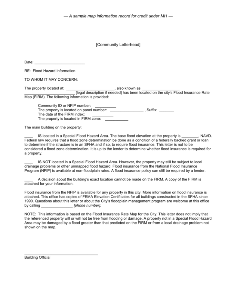
— A sample map information record for credit under MI1 — [Community Letterhead] Date: ________________________ RE: Flood Hazard Information TO WHOM IT MAY CONCERN: The property located at: _______________________, also known as __________________ ________________________ [legal description if needed] has been located on the city’s Flood Insurance Rate Map (FIRM). The following information is provided: Community ID or NFIP number: __________ The property is located on panel number: ________________ , Suffix: _______ The date of the FIRM index: __________ The property is located in FIRM zone: ___________ The main building on the property: ____ IS located in a Special Flood Hazard Area. The base flood elevation at the property is , NAVD. Federal law requires that a flood zone determination be done as a condition of a federally backed grant or loan to determine if the structure is in an SFHA and if so, to require flood insurance. This letter is not to be considered a flood zone determination. It is up to the lender to determine whether flood insurance is required for a property. ____ IS NOT located in a Special Flood Hazard Area. However, the property may still be subject to local drainage problems or other unmapped flood hazard. Flood insurance from the National Flood Insurance Program (NFIP) is available at non-floodplain rates. A flood insurance policy can still be required by a lender. ____ A decision about the building’s exact location cannot be made on the FIRM. A copy of the FIRM is attached for your information. Flood insurance from the NFIP is available for any property in this city. More information on flood insurance is attached. This office has copies of FEMA Elevation Certificates for all buildings constructed in the SFHA since 1990. Questions about this letter or about the City’s floodplain management program are welcome at this office by calling _______________ [phone number]. NOTE: This information is based on the Flood Insurance Rate Map for the City. This letter does not imply that the referenced property will or will not be free from flooding or damage. A property not in a Special Flood Hazard Area may be damaged by a flood greater than that predicted on the FIRM or from a local drainage problem not shown on the map. ___________________________________ Building Official


