topographic map lab
advertisement
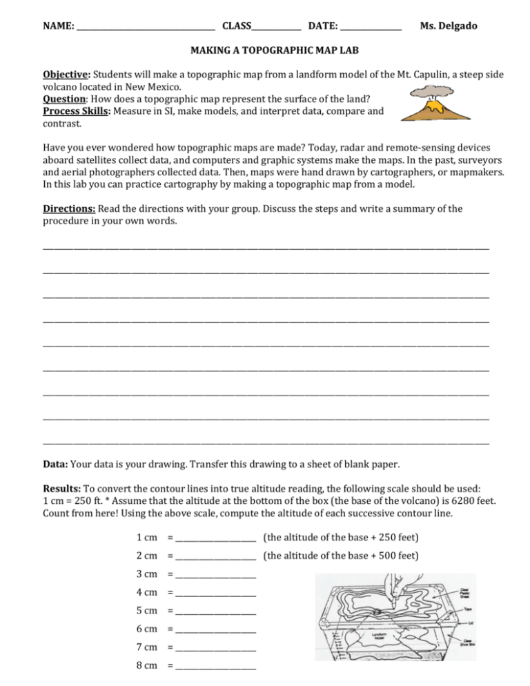
NAME: ____________________________________ CLASS_____________ DATE: ________________ Ms. Delgado MAKING A TOPOGRAPHIC MAP LAB Objective: Students will make a topographic map from a landform model of the Mt. Capulin, a steep side volcano located in New Mexico. Question: How does a topographic map represent the surface of the land? Process Skills: Measure in SI, make models, and interpret data, compare and contrast. Have you ever wondered how topographic maps are made? Today, radar and remote-sensing devices aboard satellites collect data, and computers and graphic systems make the maps. In the past, surveyors and aerial photographers collected data. Then, maps were hand drawn by cartographers, or mapmakers. In this lab you can practice cartography by making a topographic map from a model. Directions: Read the directions with your group. Discuss the steps and write a summary of the procedure in your own words. ____________________________________________________________________________________________________________________ ____________________________________________________________________________________________________________________ ____________________________________________________________________________________________________________________ ____________________________________________________________________________________________________________________ ____________________________________________________________________________________________________________________ ____________________________________________________________________________________________________________________ ____________________________________________________________________________________________________________________ ____________________________________________________________________________________________________________________ ____________________________________________________________________________________________________________________ Data: Your data is your drawing. Transfer this drawing to a sheet of blank paper. Results: To convert the contour lines into true altitude reading, the following scale should be used: 1 cm = 250 ft. * Assume that the altitude at the bottom of the box (the base of the volcano) is 6280 feet. Count from here! Using the above scale, compute the altitude of each successive contour line. 1 cm = _____________________ (the altitude of the base + 250 feet) 2 cm = _____________________ (the altitude of the base + 500 feet) 3 cm = _____________________ 4 cm = _____________________ 5 cm = _____________________ 6 cm = _____________________ 7 cm = _____________________ 8 cm = _____________________ Conclude and apply: Attach the topographic map of your model and use it to answer the following questions in complete sentences: 1- Identify the contour interval of this topographic map. ________________________________________________________________________________________________________________ ________________________________________________________________________________________________________________ 2- Evaluate how the distance between contour lines on the map shows the steepness of the slope on the landform model. ________________________________________________________________________________________________________________ ________________________________________________________________________________________________________________ 3- Determine the total elevation of land you have selected. ________________________________________________________________________________________________________________ ________________________________________________________________________________________________________________ 4- Describe how elevation was represented on your map. ________________________________________________________________________________________________________________ ________________________________________________________________________________________________________________ 5- Explain how elevations are shown on topographic maps. ________________________________________________________________________________________________________________ ________________________________________________________________________________________________________________ 6- Describe why contour lines never cross. ________________________________________________________________________________________________________________ ________________________________________________________________________________________________________________ 7- Explain how a topographic map of the Atlantic Coastal Plain differs from a topographic map of the Rocky Mountains. ________________________________________________________________________________________________________________ ________________________________________________________________________________________________________________ _________________________________________________________________________________________________________________ 8- On a separate sheet of paper write an explanation of the landform you created using the vocabulary words. Explain how tall the landform is and the steepness of the sides of your landform. Attach the map and explanation to this lab. Use color to show the different elevations of your map. Procedure: 1. Carefully fill the plastic box with water up to the 1 cm mark. Use a cup for this. 2. Put the lid on the box. 5. Using the washable pen, carefully draw on the lid of the box where you can see the water make contact with the model of the volcano. 6. Remove the lid and add water to the plastic box up to the 2 cm mark. Put the lid back on the box. 7. Again look through the lid to see where the water makes contact with the model of the volcano and carefully draw around the contact line. 8. Repeat this procedure until the lines have been drawn at each water level and the volcano is completely submerged. 9. Trace the lines from the plastic lid onto a separate sheet of paper. Each member of the group should have their own copy. 10. IMPORTANT: After completing the final line and your group agrees with the results of the map, empty the plastic model of the volcano into the bucket. Use paper towels to dry off the model of the volcano. Reassemble the lab equipment as you found it. Clean up any water mess that may be in your work area or on the floor.
