Leicester City Centre Evacuation Zone Wall Map
advertisement
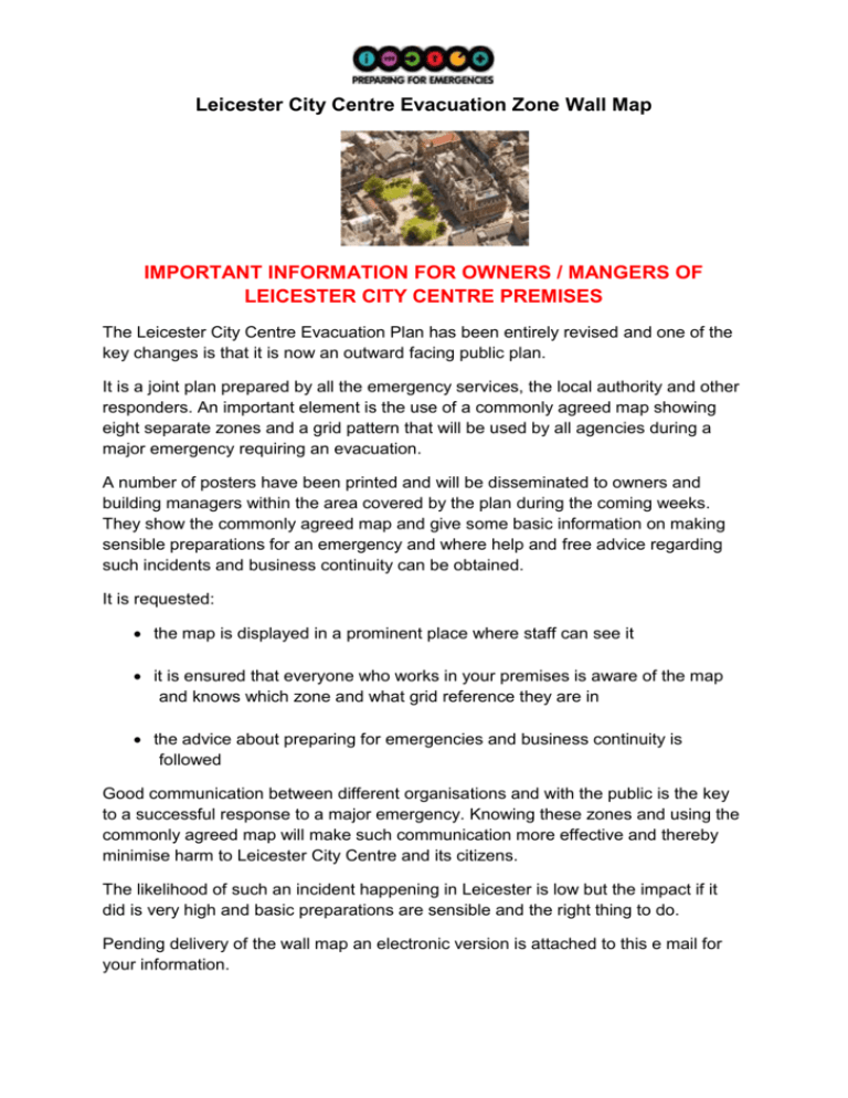
Leicester City Centre Evacuation Zone Wall Map IMPORTANT INFORMATION FOR OWNERS / MANGERS OF LEICESTER CITY CENTRE PREMISES The Leicester City Centre Evacuation Plan has been entirely revised and one of the key changes is that it is now an outward facing public plan. It is a joint plan prepared by all the emergency services, the local authority and other responders. An important element is the use of a commonly agreed map showing eight separate zones and a grid pattern that will be used by all agencies during a major emergency requiring an evacuation. A number of posters have been printed and will be disseminated to owners and building managers within the area covered by the plan during the coming weeks. They show the commonly agreed map and give some basic information on making sensible preparations for an emergency and where help and free advice regarding such incidents and business continuity can be obtained. It is requested: the map is displayed in a prominent place where staff can see it it is ensured that everyone who works in your premises is aware of the map and knows which zone and what grid reference they are in the advice about preparing for emergencies and business continuity is followed Good communication between different organisations and with the public is the key to a successful response to a major emergency. Knowing these zones and using the commonly agreed map will make such communication more effective and thereby minimise harm to Leicester City Centre and its citizens. The likelihood of such an incident happening in Leicester is low but the impact if it did is very high and basic preparations are sensible and the right thing to do. Pending delivery of the wall map an electronic version is attached to this e mail for your information. If you have any questions or requests then please do not hesitate to contact Leicester City Council Emergency Management Unit on 0116 2385007 or e mail emergency.management@leicester.gov.uk Best wishes from Martin Halse (LCC Emergency Management Unit)

