MINISTERIAL DIRECTION - Macedon Ranges Shire Council
advertisement
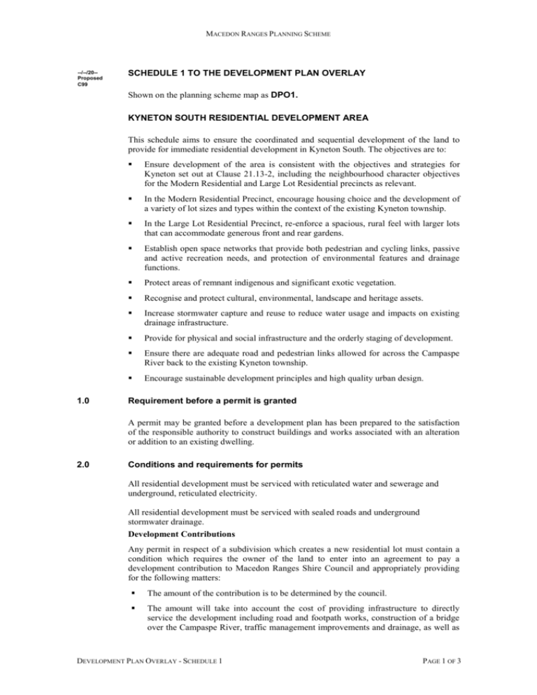
MACEDON RANGES PLANNING SCHEME --/--/20-Proposed C99 SCHEDULE 1 TO THE DEVELOPMENT PLAN OVERLAY Shown on the planning scheme map as DPO1. KYNETON SOUTH RESIDENTIAL DEVELOPMENT AREA This schedule aims to ensure the coordinated and sequential development of the land to provide for immediate residential development in Kyneton South. The objectives are to: 1.0 Ensure development of the area is consistent with the objectives and strategies for Kyneton set out at Clause 21.13-2, including the neighbourhood character objectives for the Modern Residential and Large Lot Residential precincts as relevant. In the Modern Residential Precinct, encourage housing choice and the development of a variety of lot sizes and types within the context of the existing Kyneton township. In the Large Lot Residential Precinct, re-enforce a spacious, rural feel with larger lots that can accommodate generous front and rear gardens. Establish open space networks that provide both pedestrian and cycling links, passive and active recreation needs, and protection of environmental features and drainage functions. Protect areas of remnant indigenous and significant exotic vegetation. Recognise and protect cultural, environmental, landscape and heritage assets. Increase stormwater capture and reuse to reduce water usage and impacts on existing drainage infrastructure. Provide for physical and social infrastructure and the orderly staging of development. Ensure there are adequate road and pedestrian links allowed for across the Campaspe River back to the existing Kyneton township. Encourage sustainable development principles and high quality urban design. Requirement before a permit is granted A permit may be granted before a development plan has been prepared to the satisfaction of the responsible authority to construct buildings and works associated with an alteration or addition to an existing dwelling. 2.0 Conditions and requirements for permits All residential development must be serviced with reticulated water and sewerage and underground, reticulated electricity. All residential development must be serviced with sealed roads and underground stormwater drainage. Development Contributions Any permit in respect of a subdivision which creates a new residential lot must contain a condition which requires the owner of the land to enter into an agreement to pay a development contribution to Macedon Ranges Shire Council and appropriately providing for the following matters: The amount of the contribution is to be determined by the council. The amount will take into account the cost of providing infrastructure to directly service the development including road and footpath works, construction of a bridge over the Campaspe River, traffic management improvements and drainage, as well as DEVELOPMENT PLAN OVERLAY - SCHEDULE 1 PAGE 1 OF 3 MACEDON RANGES PLANNING SCHEME a contribution to community infrastructure elsewhere in the town that may be used by future residents in the development. 3.0 Unless the parties agree otherwise, one of the requirements of the agreement must be that if an approved Development Contribution Plan commences before a specified date, any monetary contribution required to be paid under the agreement must be adjusted upwards or downwards to be consistent with that approved Development Contribution Plan (reconciliation). The payment under the reconciliation is to be made to or by the person who entered into the agreement with Council or a subsequent transferor of the parent land and not the subsequent residential lot owners. The costs of the agreement are to be paid by the owner of the land. Requirements for development plan The development plan must be informed by the following matters to the satisfaction of the responsible authority except where prior agreement in writing is provided from the responsible authority that one or more of these actions are not relevant to the site: A development plan must: Be generally in accordance with the local policy for Kyneton at Clause 21.13-2. Provide an indicative lot layout. Identify the proposed use of all areas. Identify any sites of conservation, heritage or archaeological significance and the means by which they will be managed. Provide appropriate arrangements for the provision and funding of necessary physical and social infrastructure. List the staging and anticipated timing of development. Provide appropriate arrangements for the preservation of existing vegetation. Include a landscape plan for public open space areas, including roadside verges. Provide appropriate integration and linkages for vehicles, bicycles and pedestrians between the site and existing established road networks and adjoining development sites. Specify the location and type of linkages over the Campaspe River to provide access back to the township. Set out a proposed subdivision layout which:- In the Modern Residential Precinct, provides a variety of lot sizes and densities across the development area allowing for a variety of housing types and for other compatible land uses; In the Large Lot Residential Precinct, provides a consistent pattern of larger lots that provide for generous front and rear gardens; Takes into consideration the topography of the land, particularly with regard to the provision of useable open space, site elements such as vegetation, waterways or other significant features, and physical infrastructure such as roads and reticulated services (water, sewer, drainage); and Orients lots to maximise solar access and energy efficiency. Show the proposed size and location of any open space which: Is clearly visible and accessible to residents within the development area; Is connected to existing or proposed open space areas; DEVELOPMENT PLAN OVERLAY - SCHEDULE 1 PAGE 2 OF 3 MACEDON RANGES PLANNING SCHEME 4.0 Is not flood effected or constrained; and Integrated with areas and corridors of habitat significance where possible. Include design guidelines for private realm development. Show the location of any major infrastructure easements. Include a stormwater management plan which provides for: protection of natural systems; integration of stormwater treatment into the landscape; protection of water quality; and reduction of run-off and peak flows, including the removal of sediment litter and other urban wastes from stormwater prior to discharge. Stormwater and drainage designs should be informed by the following documents: WSUD Engineering Procedures: Stormwater, CSIRO Publishing, 2005; Urban Stormwater: Best Practice Environmental Management Guidelines, CSIRO Publishing, 1999; and Macedon Ranges Standard Specifications for Roadworks and Drainage. Process Requirements The development plan must be publicly exhibited for a period of two weeks prior to approval. The responsible authority must take in to account any comments received when considering the development plan or any amendment to the development plan. DEVELOPMENT PLAN OVERLAY - SCHEDULE 1 PAGE 3 OF 3


