PHSC 3004 Test 3 Take Home Name__________________
advertisement
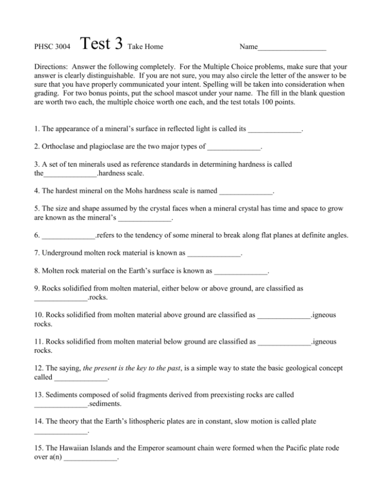
PHSC 3004 Test 3 Take Home Name__________________ Directions: Answer the following completely. For the Multiple Choice problems, make sure that your answer is clearly distinguishable. If you are not sure, you may also circle the letter of the answer to be sure that you have properly communicated your intent. Spelling will be taken into consideration when grading. For two bonus points, put the school mascot under your name. The fill in the blank question are worth two each, the multiple choice worth one each, and the test totals 100 points. 1. The appearance of a mineral’s surface in reflected light is called its ______________. 2. Orthoclase and plagioclase are the two major types of ______________. 3. A set of ten minerals used as reference standards in determining hardness is called the______________.hardness scale. 4. The hardest mineral on the Mohs hardness scale is named ______________. 5. The size and shape assumed by the crystal faces when a mineral crystal has time and space to grow are known as the mineral’s ______________. 6. ______________.refers to the tendency of some mineral to break along flat planes at definite angles. 7. Underground molten rock material is known as ______________. 8. Molten rock material on the Earth’s surface is known as ______________. 9. Rocks solidified from molten material, either below or above ground, are classified as ______________.rocks. 10. Rocks solidified from molten material above ground are classified as ______________.igneous rocks. 11. Rocks solidified from molten material below ground are classified as ______________.igneous rocks. 12. The saying, the present is the key to the past, is a simple way to state the basic geological concept called ______________. 13. Sediments composed of solid fragments derived from preexisting rocks are called ______________.sediments. 14. The theory that the Earth’s lithospheric plates are in constant, slow motion is called plate ______________. 15. The Hawaiian Islands and the Emperor seamount chain were formed when the Pacific plate rode over a(n) ______________. 16. Magma viscosity depends on the silica content and the ______________.of the magma. 17. Seafloor spreading occurs along ______________. 18. The lithospheric plates are believed to be put into motion by the driving force of ______________.cells in the asthenosphere. 19. The place, or zone, where one plate descends under another plate and into the asthenosphere is called a(n) ______________.zone. 20. The radius of the Earth is about ______________.miles. 21. When an earthquake occurs, the point of initial energy release is called the earthquake’s ______________. 22. The ______________.scale gives an absolute measure of the energy released by an earthquake. 23. The rock on the upper side of an inclined fault plane is called the hanging wall, and the rock on the underside is called the ______________. 24. Wyoming’s Grand Teton Mountains are examples of ______________.mountains. 25. ______________.is the downslope movement of surface materials as a result of gravity and the agents that cause such movement. 26. A(n) ______________.is defined by geologists as any flow of water occurring between well-defined banks. 27. At the end and along the sides of a glacier, the sediment deposits may form ridges known as ______________. 28. Regions on the Earth that have the driest climates are known as ______________. 29. Water that soaks into the soil and collects in the subsurface is called ______________. 30. The upper boundary of the zone of saturation is called the ______________. 31. Seawater movement that arises from incoming ocean waves that break at an angle to the shore is called a(n) ______________.current. 32. An isolated, submarine, volcanic peak on the ocean floor is called, in general, a(n) ______________. 33. A large, flat, sediment-covered area on the ocean floor is called a(n) ______________. 34. The shallowly submerged areas that border the continental landmasses are called the ______________. ___35. Which of the following is ranked 7 on the Mohs scale? [A] talc [B] gypsum [C] diamond [D] quartz ___36. If iron floats in liquid mercury, then the specific gravity of iron is [A] less than that of mercury. [B] greater than that of mercury. [C] about equal to that of mercury. [D] in no way related to that of mercury. ___37. James Hutton was responsible for the concept of [A] catastrophism. [B] superposition. [C] plate tectonics. [D] uniformitarianism. ___38. Volcanoes that explode violently tend to have magmas of [A] high temperature and low silica content. [B] high temperature and high silica content. [C] low temperature and low silica content. [D] low temperature and high silica content. ___39. An example of a sedimentary rock is [A] granite. [B] gneiss. [C] gabbro. [D] shale. ___40. The idea of continental drift was not generally accepted when Wegener proposed it because [A] the Bible did not support it. [B] Wegener was a meteorologist, not a geologist. [C] Wegener was not well known. [D] no satisfactory mechanism was proposed. ___41. A mid-ocean ridge is formed at the boundary of two plates [A] separating from one another. [B] sliding horizontally past one another. [C] with one pushing over the top of the other. [D] basically at rest. ___42. Which of the following is not one of the three types of plate boundaries? [A] diverging [B] converging ___43. The lithosphere consists of [C] fault-block [D] transform [A] all of the crust’s depth. [B] all of the crust’s depth and part of the mantle’s depth. [C] part of the crust’s depth. [D] all of the crust’s depth and all of the mantle’s depth. ___44. The Mohorovicic discontinuity is the boundary between the [A] lithosphere and the asthenosphere. [B] crust and the mantle. [C] outer core and the inner core. [D] mantle and the outer core. ___45. Chemical weathering is most prevalent in what type of climate? [A] moist and cold [B] dry and cold [C] dry and hot [D] moist and hot ___46. The general geologic term for the downslope movement of soil and rock under the influence of gravity is [A] mass-wasting. [B] slump. [C] creep. [D] landslide. ___47. The upper boundary of the region in which the soil is saturated with water is known as the [A] water table. [B] aquifer level. [C] zone of aeration. [D] Moho discontinuity. 48. Explain how scientists find the epicenter of an earthquake. 49. Describe the rock cycle. (a diagram would be most useful here) Reference: [21.2.79] [1] luster Reference: [22.2.99] [22] Richter Reference: [22.1.17] [43] [B] Reference: [21.2.82] [2] feldspars Reference: [21.2.83] [3] Mohs Reference: [21.2.84] [4] diamond Reference: [21.2.88] [5] crystal form Reference: [21.2.89] [6] Cleavage Reference: [22.1.23] [44] [B] Reference: [23.1.6] [45] [D] Reference: [23.1.23] [46] [A] Reference: [23.1.28] [47] [A] Reference: [21.2.94] [7] magma Reference: [21.2.95] [8] lava Reference: [21.2.96] [9] igneous Reference: [21.2.97] [10] extrusive Reference: [21.2.98] [11] intrusive Reference: [21.2.101] [12] uniformitarianism Reference: [21.2.117] [13] detrital Reference: [21.2.124] [14] tectonics Reference: [21.2.133] [15] hot spot Reference: [21.2.134] [16] temperature Reference: [22.2.67] [17] mid-ocean ridges Reference: [22.2.78] [18] convection Reference: [22.2.79] [19] subduction Reference: [22.2.104] [23] footwall Reference: [22.2.114] [24] fault-block Reference: [23.2.54] [25] Erosion Reference: [23.2.56] [26] stream Reference: [23.2.65] [27] moraines Reference: [23.2.69] [28] deserts Reference: [23.2.75] [29] groundwater Reference: [23.2.79] [30] water table Reference: [23.2.90] [31] long-shore Reference: [23.2.91] [32] seamount Reference: [23.2.93] [33] abyssal plain Reference: [23.2.94] [34] continental shelves Reference: [21.1.12] [35] [D] Reference: [21.1.16] [36] [A] Reference: [21.1.27] [37] [D] Reference: [21.1.47] [38] [D] Reference: [21.1.58] [39] [D] Reference: [22.1.3] [40] [D] Reference: [22.2.82] [20] 4000 Reference: [22.2.85] [21] focus Reference: [22.1.13] [41] [A] Reference: [22.1.14] [42] [C]
