UTC Project Information
advertisement
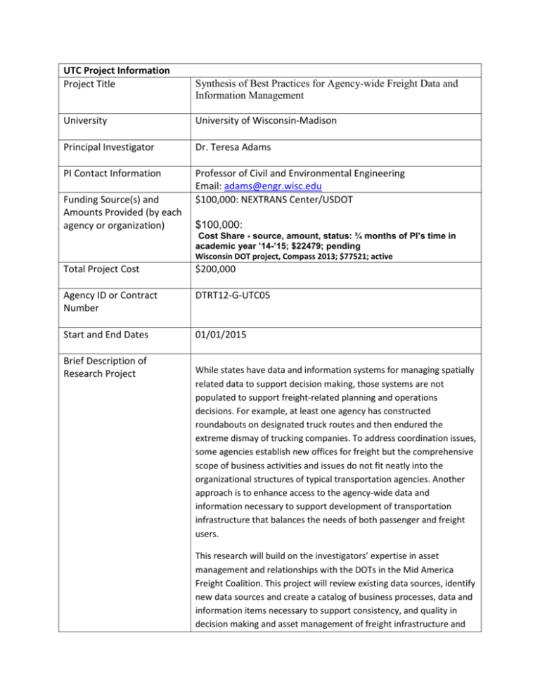
UTC Project Information Project Title Synthesis of Best Practices for Agency-wide Freight Data and Information Management University University of Wisconsin-Madison Principal Investigator Dr. Teresa Adams PI Contact Information Professor of Civil and Environmental Engineering Email: adams@engr.wisc.edu $100,000: NEXTRANS Center/USDOT Funding Source(s) and Amounts Provided (by each agency or organization) $100,000: Cost Share - source, amount, status: ¾ months of PI’s time in academic year ’14-’15; $22479; pending Wisconsin DOT project, Compass 2013; $77521; active Total Project Cost $200,000 Agency ID or Contract Number DTRT12-G-UTC05 Start and End Dates 01/01/2015 Brief Description of Research Project While states have data and information systems for managing spatially related data to support decision making, those systems are not populated to support freight-related planning and operations decisions. For example, at least one agency has constructed roundabouts on designated truck routes and then endured the extreme dismay of trucking companies. To address coordination issues, some agencies establish new offices for freight but the comprehensive scope of business activities and issues do not fit neatly into the organizational structures of typical transportation agencies. Another approach is to enhance access to the agency-wide data and information necessary to support development of transportation infrastructure that balances the needs of both passenger and freight users. This research will build on the investigators’ expertise in asset management and relationships with the DOTs in the Mid America Freight Coalition. This project will review existing data sources, identify new data sources and create a catalog of business processes, data and information items necessary to support consistency, and quality in decision making and asset management of freight infrastructure and operations. The results will support implementation of the MAP-21 requirements for freight performance. This project deals with strategies for managing and integrating spatially related freight transportation data both intra- and inter-agency from the perspective of a state transportation agency. The scope of data is freight data, defined as data about freight for making decisions regarding the planning, design, construction, operation, and maintenance of transportation infrastructure. Some of the freight data items include truck routes, ESAL charts, truck traffic, variable speed limits, intermodal connectors, spring-thaw restrictions, bridge clearances, posted bridges, steep grades, rail crossings, port entries, foreign trade zones, longer combination vehicles rules, OS/OW routes, weight stations, and road uses agreements. Describe Implementation of Research Outcomes (or why not implemented) Place Any Photos Here Impacts/Benefits of Implementation (actual, not anticipated) Web Links Reports Project website
