Geo 12 unit 1 Exam Review
advertisement
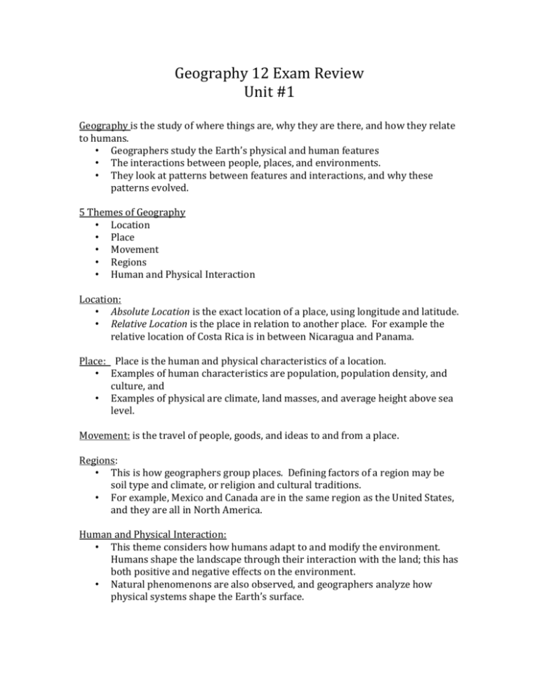
Geography 12 Exam Review Unit #1 Geography is the study of where things are, why they are there, and how they relate to humans. • Geographers study the Earth’s physical and human features • The interactions between people, places, and environments. • They look at patterns between features and interactions, and why these patterns evolved. 5 Themes of Geography • Location • Place • Movement • Regions • Human and Physical Interaction Location: • Absolute Location is the exact location of a place, using longitude and latitude. • Relative Location is the place in relation to another place. For example the relative location of Costa Rica is in between Nicaragua and Panama. Place: Place is the human and physical characteristics of a location. • Examples of human characteristics are population, population density, and culture, and • Examples of physical are climate, land masses, and average height above sea level. Movement: is the travel of people, goods, and ideas to and from a place. Regions: • This is how geographers group places. Defining factors of a region may be soil type and climate, or religion and cultural traditions. • For example, Mexico and Canada are in the same region as the United States, and they are all in North America. Human and Physical Interaction: • This theme considers how humans adapt to and modify the environment. Humans shape the landscape through their interaction with the land; this has both positive and negative effects on the environment. • Natural phenomenons are also observed, and geographers analyze how physical systems shape the Earth’s surface. Branches of Geography • Geography is a discipline that covers a broad range of topics. • 2 major major branches of geography are • • Physical geography – looks at climate, land, water, plants, and animal in life in terms of relationships to one another and humans. Human geography – (or cultural geography) studies human activities and their relationship to the cultural and physical environment. • Looks at political, economic, and cultural factors, such as population density, urban development, economic production, and ethnicity. Earth’s 4 Spheres: The area near the surface of the earth can be divided up into four inter-connected "geo-spheres:" • the lithosphere, hydrosphere, biosphere, and atmosphere. The names of the four spheres are derived from the Greek words for -stone (litho) -air (atmo) -water (hydro) -life (bio) Lithosphere: is the solid, rocky crust covering entire planet. This crust is inorganic and is composed of minerals. It covers the entire surface of the earth from the top of Mount Everest to the bottom of the Mariana Trench. Hydrosphere: is composed of all of the water on or near the earth. This includes the oceans, rivers, lakes, and even the moisture in the air. Ninety-seven percent of the earth's water is in the oceans. The remaining three percent is fresh water; threequarters of the fresh water is solid and exists in ice sheets. Biosphere: is composed of all living organisms. Plants, animals, and one-celled organisms are all part of the biosphere. Most of the planet's life is found from three meters below the ground to thirty meters above it and in the top 200 meters of the oceans and seas. Atmosphere: is the body of air that surrounds our planet. Most of our atmosphere is located close to the earth's surface where it is most dense. The air of our planet is 79% nitrogen and about 21% oxygen; the small amount remaining is composed of carbon dioxide and other gasses. All four spheres can be and often are present in a single location. For example, a piece of soil will of course have mineral material from the lithosphere. Additionally, there will be elements of the hydrosphere present as moisture within the soil, the biosphere as insects and plants, and even the atmosphere as pockets of air between soil pieces. • • • • • These spheres are closely connected. a change in one sphere often results in a change in one or more of the other spheres. Such changes that take place within an ecosystem are referred to as events. Events can occur naturally, such as an earthquake or a hurricane, or they can be caused by humans, such as an oil spill or air pollution. An event can cause changes to occur in one or more of the spheres, and an event can be the effect of changes in one or more of Earth's four spheres. This two-way cause and effect relationship between an event and a sphere is called an interaction. example, the El Nino event--a change in the ocean currents off the coast of Peru-- can cause changes in weather patterns all the way across North America, while ozone depletion above Antarctica may result in increased levels of ultra-violet B radiation around the world. Geographic Literacy: Maps: In geography maps are one of the most important tools researchers, cartographers, students and others can use to examine the entire Earth or a specific part of it. • Simply defined maps are pictures of the Earth's surface. Map Types: Maps can provide all kinds of different information. Physical Map • • • Shows the physical landscape features of a place. Ex: mountains, rivers and lakes and water. Colour is often used to show elevation changes as well. Political Map • Shows state and national boundaries of a place. • They also include the locations of cities (ex: capital cities). Road Map/Directional Map • A road map is one of the most widely used map types. • These maps show major and minor highways and roads (depending on detail) as well as things like airports, city locations and points of interest like parks, campgrounds and monuments. Thematic Maps • a map that focuses on a particular theme or special topic that is connected to the specific geographic area. • These maps can portray physical, social, political, cultural, economic, sociological, agricultural, or any other aspects of a city, state, region, nation, or continent. 1. They provide specific information about particular locations. 2. They provide general information about spatial patterns. 3. They can be used to compare patterns on two or more maps. Satellite and Aerial Images • Overhead images of the Earth, that provide a plethora of information. • These images can then be used for GIS (geographic information systems) and remote sensing purposes. Remote sensing • The examination or the gathering of information about a place from a distance. Such examination can occur with devices (e.g. - cameras) based on the ground, on ships, aircraft, satellites, or other spacecraft. GIS • Geographic Information Systems integrates, stores, edits, analyzes, shares, and displays geographic information for informing decision-making. They are used to analyze spatial information, and edit data in maps. Review Questions: 1. What is the study of geography? Explain why the study of geography might be useful to humans. 2. Theme of Geography Definition Example 3. Explain how a Tsunami event might interact with each of the Earth’s 4 spheres. 4. (a) The map below is an example of what kind of map? ________________________ (b) How do you know? Explain your answer for question 4(a). (c) What is a thematic map? Provide an example of a thematic map, and explain how this map may be useful to humans. 5. GIS stands for ___________________________________________________________. How is a GIS different from an everyday road map that you might have in your car?


