Resources on Adaptation Models, Tools, Databases and Approaches
advertisement
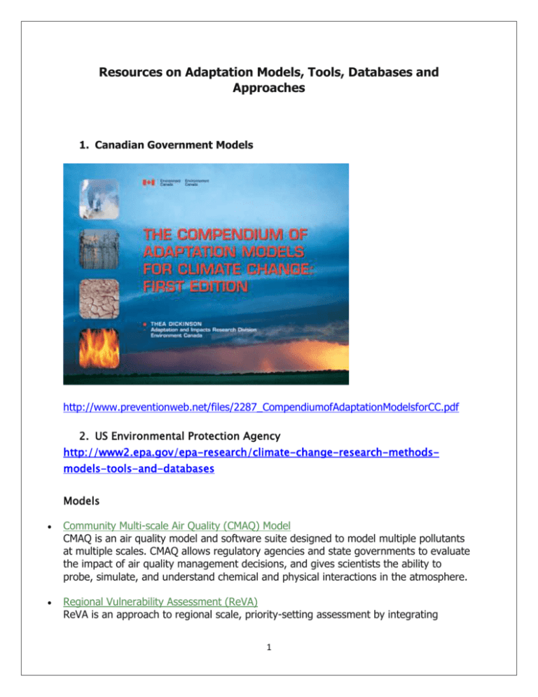
Resources on Adaptation Models, Tools, Databases and Approaches 1. Canadian Government Models http://www.preventionweb.net/files/2287_CompendiumofAdaptationModelsforCC.pdf 2. US Environmental Protection Agency http://www2.epa.gov/epa-research/climate-change-research-methodsmodels-tools-and-databases Models Community Multi-scale Air Quality (CMAQ) Model CMAQ is an air quality model and software suite designed to model multiple pollutants at multiple scales. CMAQ allows regulatory agencies and state governments to evaluate the impact of air quality management decisions, and gives scientists the ability to probe, simulate, and understand chemical and physical interactions in the atmosphere. Regional Vulnerability Assessment (ReVA) ReVA is an approach to regional scale, priority-setting assessment by integrating 1 research on human and environmental health, ecorestoration, landscape analysis, regional exposure and process modeling, problem formulation, and ecological risk guidelines. o o Climate Change and Watersheds Model (BASINS-CAT) BASINS is a multi-purpose, environmental analysis system that integrates a geographical information system (GIS), national watershed data, and state-of-the-art watershed modeling tools, including the Hydrologic Simulation Program (HSPF) FORTRAN model, into one package. BASINS CAT extends the existing capabilities of BASINS to facilitate watershed-based assessments of the potential implications of climate variability and change on water and watershed systems using the HSPF model. BASINS CAT provides flexible capabilities for creating climate change scenarios allowing users to quickly assess a wide range of what if questions about how weather and climate could affect their systems. BASINS CAT does not provide climate change data for specific regions and watersheds. Combined with the existing capabilities of HSPF for assessing the effects of land-use change and management practices, BASINS CAT can be used to assess the coupled effects of climate and land-use change, and to guide the development of effective management responses. Community Multi-scale Air Quality Model (CMAQ) CMAQ is an air quality model and software suite designed to model multiple pollutants at multiple scales. CMAQ allows regulatory agencies and state governments to evaluate the impact of air quality management decisions, and gives scientists the ability to probe, simulate, and understand chemical and physical interactions in the atmosphere. CMAQ Aerosol Module CMAQ version 5.0 includes a complete redesign of the aerosol module eliminating unnecessary dependencies and duplications across modules. CMAQ for Air Toxics and Multipollutant Modeling In the past, chemical mechanism and air quality development have focused on Criteria Air Pollutants (CAPs) such as ozone and primary inorganic particulate matter. CMAQ also has the capacity to predict concentration and deposition of many Hazardous Air Pollutants (HAPs) or air toxics. Water Erosion Prediction Project Climate Assessment Tool (WEPPCAT) WEPPCAT provides a flexible capability for creating user-determined climate change scenarios for assessing the potential impacts of climate change on sediment loading to streams using the USDA’s Water Erosion Prediction Project (WEPP) Model. In combination with the existing capabilities of WEPP for assessing the effectiveness of 2 management practices, WEPPCAT also can be used to evaluate the effectiveness of strategies for managing the impacts of climate change. Tools Community-Focused Exposure and Risk Screening Tool (C-FERST) C-FERST is a community mapping, information access, and assessment tool designed to assess risks and assist in decision making within communities. Research question: How can I prioritize my/a community's environmental exposures and risks, and learn about potential solutions to inform environmental public health decision-making? Regional Vulnerability Assessment (ReVA) ReVA is an approach to regional scale, priority-setting assessment by integrating research on human and environmental health, ecorestoration, landscape analysis, regional exposure and process modeling, problem formulation, and ecological risk guidelines. ReVA Tools and Projects EPA's Regional Vulnerability Assessment (ReVA) program is designed to create the methods needed to understand a region's environmental quality and its spatial pattern. Impacts of human activities are not uniformly distributed across landscapes and regions (defined here as a multi-state area) and are often interacting in complex ways. ReVA - Environmental Decision Toolkits under development Tribal-Focused Environmental Risk and Sustainability Tool (T-FERST) T-FERST is a community mapping, information access, and assessment tool designed to assess risk and assist in decision making within tribal communities. Research question: How can I prioritize my/a tribe's environmental exposures and risks, and learn about potential solutions to inform environmental public health decisionmaking? Watershed Health Assessment Tools Investigating Fisheries (WHATIF) WHATIF is software that integrates a number of calculators, tools, and models for assessing the health of watersheds and streams with an emphasis on fish communities. The toolset consists of hydrologic and stream geometry calculators, a fish assemblage predictor, a fish habitat suitability calculator, macro-invertebrate biodiversity calculators, and a process-based model to predict biomass dynamics of stream biota. WHATIF also 3 supports screening analyses, such as prioritizing areas for restoration and comparing alternative watershed and habitat management scenarios. Databases PPCP (Reference Databases) This is a database of published literature relevant to the issues surrounding pharmaceuticals and personal care products (PPCPs) as environmental contaminants. Virtual Field Reference Database (VFRDB) The VFRDB provides in situ reference measurement data for statistically rigorous accuracy assessments of land-cover maps derived from satellite and airborne remote sensing platforms. Virtual Field Reference Data Base (RFRDB): Metadata Virtual Field Reference Data Base (RFRDB): Database Virtual Field Reference Data Base (RFRDB): Navigation ReVA Data and ReVA - Environmental Decision Toolkits under development ReVA uses EPA's Environmental Information Management System (EIMS) to manage its library of projects, data sets, models, and documents. The EIMS database is a comprehensive resource for persons interested in environmental information. By accessing EIMS, you will be able to browse and review ReVA's current data, meetings, projects, and documents. Databases Freshwater Biological Traits Database The Freshwater Biological Traits Database has data for nearly 4000 North American macroinvertebrate taxa, and includes habitat, life history, mobility, morphology and ecological trait data. The traits data were gathered from multiple sources, which are listed on the web site under, "Data Source". Data gathering efforts focused on data that were published or otherwise well-documented by trustworthy sources, accessible, appropriate for the regions being studied, in a standardized format that could be analyzed or easily converted to a format that could be analyzed, and ecologically relevant to the gradients being considered. 4
