TRANSITION YEAR UNITS
advertisement
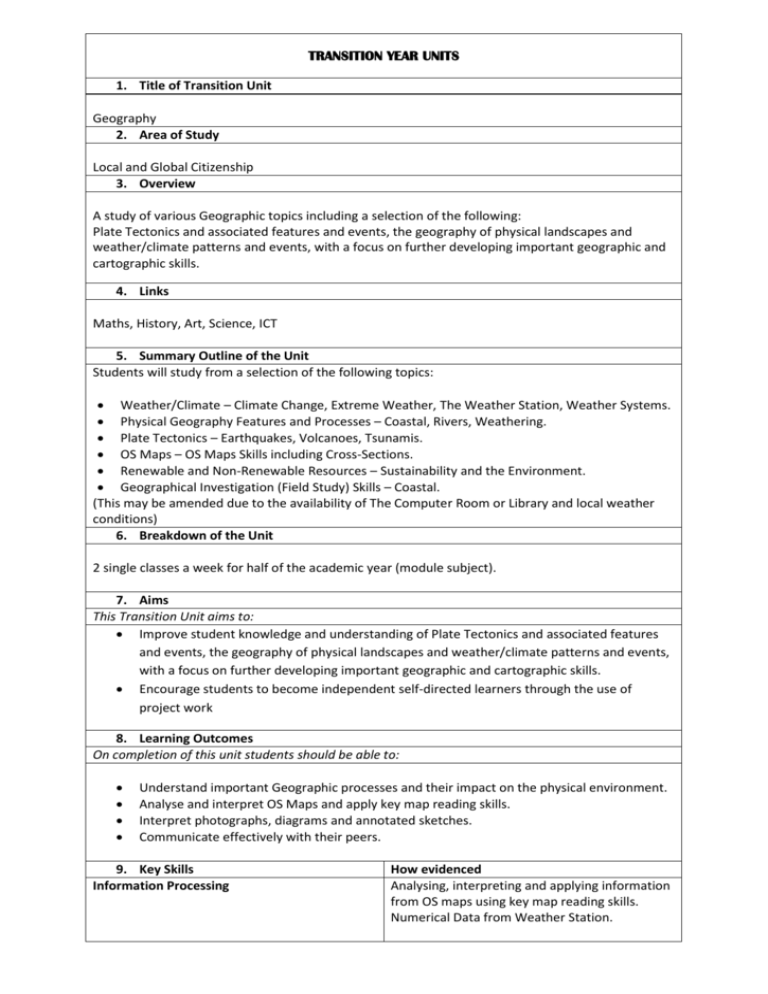
TRANSITION YEAR UNITS 1. Title of Transition Unit Geography 2. Area of Study Local and Global Citizenship 3. Overview A study of various Geographic topics including a selection of the following: Plate Tectonics and associated features and events, the geography of physical landscapes and weather/climate patterns and events, with a focus on further developing important geographic and cartographic skills. 4. Links Maths, History, Art, Science, ICT 5. Summary Outline of the Unit Students will study from a selection of the following topics: Weather/Climate – Climate Change, Extreme Weather, The Weather Station, Weather Systems. Physical Geography Features and Processes – Coastal, Rivers, Weathering. Plate Tectonics – Earthquakes, Volcanoes, Tsunamis. OS Maps – OS Maps Skills including Cross-Sections. Renewable and Non-Renewable Resources – Sustainability and the Environment. Geographical Investigation (Field Study) Skills – Coastal. (This may be amended due to the availability of The Computer Room or Library and local weather conditions) 6. Breakdown of the Unit 2 single classes a week for half of the academic year (module subject). 7. Aims This Transition Unit aims to: Improve student knowledge and understanding of Plate Tectonics and associated features and events, the geography of physical landscapes and weather/climate patterns and events, with a focus on further developing important geographic and cartographic skills. Encourage students to become independent self-directed learners through the use of project work 8. Learning Outcomes On completion of this unit students should be able to: Understand important Geographic processes and their impact on the physical environment. Analyse and interpret OS Maps and apply key map reading skills. Interpret photographs, diagrams and annotated sketches. Communicate effectively with their peers. 9. Key Skills Information Processing How evidenced Analysing, interpreting and applying information from OS maps using key map reading skills. Numerical Data from Weather Station. Critical and Creative Thinking Problem solving during the completion of project-based work. Evaluate and reflect on their work. Communicating Presenting work to the class, listening to others points of view. Developing and communicating opinions effectively. Working with Others Organising and delegating work within a group, taking responsibility for sharing the work completing to an agreed time frame Being Personally Effective Self-assessment and reflection on their work. 10. Methodologies Skills-Based approach using OS maps, Photographic interpretation, use of ICT, investigation work and small group work, problem solving and decision making, presentations and practical use of Weather Station. 11. Assessment Methods Ongoing Culminative Portfolio of work to be built up by students for the duration of the unit for inclusion in their online TY Portfolio. Presentations and small projects based on classroom activities and topics. TY credits awarded for successful completion of in-class assignments and projects. 12. Evaluation As part of self-assessment students will complete an evaluation sheet and discuss this with the teacher. 13. Resources Local Maps from a variety of sources – OS maps, Scoilnet Maps, Google Maps, Apple Maps, Tourism Maps, Historic Maps & Geological maps. Local Geography/History books. Geographic Equipment – Compass, Clinometer, Viewfinder. Teacher produced worksheets. Art materials for poster displays. The Internet Classroom computer Teacher iPad 14. Literacy and Numeracy Literacy Numeracy Promoted through discussion and practice questions. Visual Literacy promoted through PowerPoint, OS map reading skills – distance, area, crosssections. maps, diagrams, worksheets & images. Analysis and interpretation of Weather Station Digital literacy through the use of ICT equipment. Data. Key Words List.

