Topographic Map of Oxbow Park
advertisement
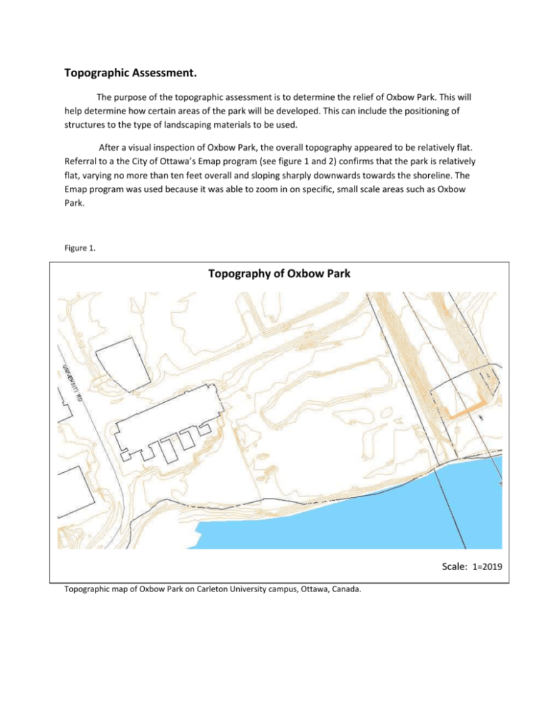
Topographic Assessment. The purpose of the topographic assessment is to determine the relief of Oxbow Park. This will help determine how certain areas of the park will be developed. This can include the positioning of structures to the type of landscaping materials to be used. After a visual inspection of Oxbow Park, the overall topography appeared to be relatively flat. Referral to a the City of Ottawa’s Emap program (see figure 1 and 2) confirms that the park is relatively flat, varying no more than ten feet overall and sloping sharply downwards towards the shoreline. The Emap program was used because it was able to zoom in on specific, small scale areas such as Oxbow Park. Figure 1. Topography of Oxbow Park Scale: 1=2019 Topographic map of Oxbow Park on Carleton University campus, Ottawa, Canada. Figure 2. Topographic Map of Oxbow Park Scale: 1=4057 Topographic map of Oxbow Park on Carleton University campus, Ottawa, Canada. It is noteworthy to add that Oxbow Park lies almost entirely on a floodplain (see figure 3).This was obtained using the City of Ottawa’s Emap program. It is important to determine if the existence of a floodplain will be a contributing factor in how an area is developed in accordance to the Rideau Valley Conservation Authority. However, because the area in question is a park, the same regulations do not apply. Figure 3. Oxbow Park Floodplain Scale: 1=2019 Map of Oxbow Park on Carleton University campus, Ottawa, Canada. The blue-dashed area denotes where the floodplain lies. An interesting feature of Oxbow is the seasonal pond that lies in the (northwest?) corner of the park (see figure 4). This is an area that we would like to develop by deepening an existing trench to allow for water to enter the pond from the river. This would ensure that the pond would not dry up in a few years time and could be enjoyed by current and future students. Figure 4. Oxbow Park Seasonal Pond Scale: 1=2028 Map of Oxbow Park on Carleton University campus, Ottawa, Canada. The light-blue dashed area denotes where the seasonal pond is located.


