Hurricane Katrina: Air Pressure & Wind Lab Worksheet
advertisement
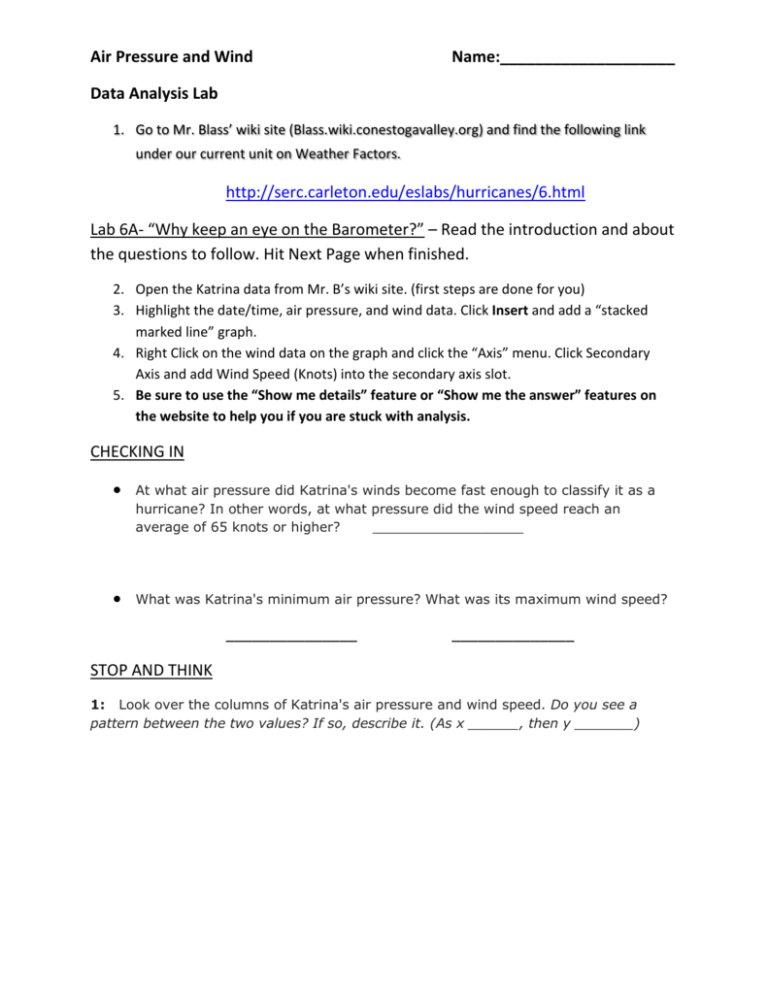
Air Pressure and Wind Name:____________________ Data Analysis Lab 1. Go to Mr. Blass’ wiki site (Blass.wiki.conestogavalley.org) and find the following link under our current unit on Weather Factors. http://serc.carleton.edu/eslabs/hurricanes/6.html Lab 6A- “Why keep an eye on the Barometer?” – Read the introduction and about the questions to follow. Hit Next Page when finished. 2. Open the Katrina data from Mr. B’s wiki site. (first steps are done for you) 3. Highlight the date/time, air pressure, and wind data. Click Insert and add a “stacked marked line” graph. 4. Right Click on the wind data on the graph and click the “Axis” menu. Click Secondary Axis and add Wind Speed (Knots) into the secondary axis slot. 5. Be sure to use the “Show me details” feature or “Show me the answer” features on the website to help you if you are stuck with analysis. CHECKING IN At what air pressure did Katrina's winds become fast enough to classify it as a hurricane? In other words, at what pressure did the wind speed reach an average of 65 knots or higher? __________________ What was Katrina's minimum air pressure? What was its maximum wind speed? _______________ ______________ STOP AND THINK 1: Look over the columns of Katrina's air pressure and wind speed. Do you see a pattern between the two values? If so, describe it. (As x ______, then y _______) 2: Look for evidence in the data that one of the variables controls the other. In other words, try to find an instance where a change happens first in one variable and its effect is seen later in the other variable. First Data point: Date/Time __________ Second Data point: Date/Time __________ Air Pressure ________ Wind __________ Air Pressure ________ Wind __________ Describe how you interpret this relationship. (which changes first/ causes the other?) 3: Focus in on the first several air pressure readings for the storm. Give a specific example (a range of dates and times) when the air pressure decreased and tell what happened to the wind speed over that time. First Data point: Date/Time __________ Second Data point: Date/Time __________ Air Pressure ________ Wind __________ Air Pressure ________ Wind __________ What happened to the wind speed as the air pressure decreased? 4: Describe another specific example while pressure increased. First Data point: Date/Time __________ Second Data point: Date/Time __________ Air Pressure ________ Wind __________ Air Pressure ________ Wind __________ What happened to wind speed while pressure increased? 5: Based on your analysis, write a summary statement describing the relationship between air pressure and wind speed in Hurricane Katrina. 6B- Direct Comparison of Air Pressure and Wind Speed 1. Highlight the air pressure and wind data. Click Insert and add a “marked scatter”. 2. Right click on the data points and hit “add trendline”. In the menu, choose a linear line and click on “Display equation on the graph” in the options. 3. Sketch the graph below. Include axis labels and a basic scale. CHECKING IN: What was the storm like (air pressure and wind speed) at the time represented by the highest point at the far left of your graph? What was the air pressure when the wind speed reached 65 knots? __________ STOP AND THINK: 6: Use values from the graph to estimate how much the wind speed increased as the air pressure decreased by approximately 100 millibars. SHOW YOUR WORK Air pressure: _________ Wind: __________ - - __________ = 100 Mb __________ = ________ Knots 7: Rate of Change: Find the rate of change of wind speed when air pressure drops 100 mb. SHOW YOUR WORK. 8: How can you describe the relationship (shown by the trendline) you see on the graph? (Hint: As x ______, then y _______) 9: The equation for the trendline is in the form y = mx + b. This equation helps to clarify the relationship between air pressure and wind speed for this hurricane. Look closely and at the values in the equation and interpret their meaning from the graph.
