Click here to these as a word doc
advertisement
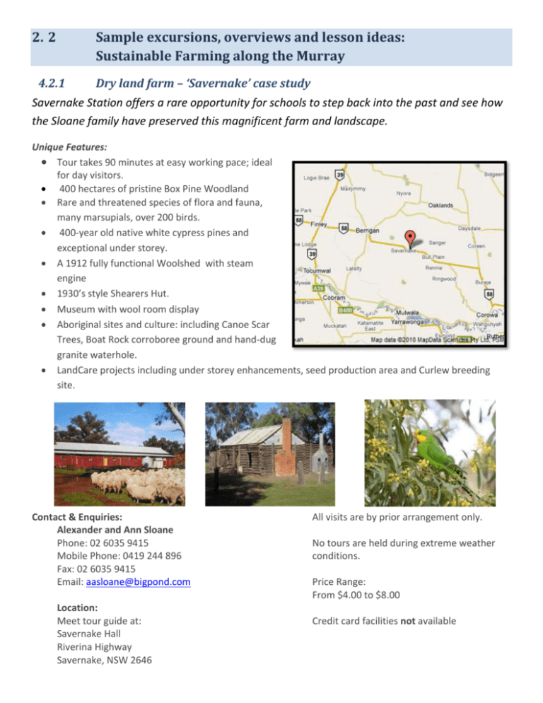
2. 2 Sample excursions, overviews and lesson ideas: Sustainable Farming along the Murray 4.2.1 Dry land farm – ‘Savernake’ case study Savernake Station offers a rare opportunity for schools to step back into the past and see how the Sloane family have preserved this magnificent farm and landscape. Unique Features: Tour takes 90 minutes at easy working pace; ideal for day visitors. 400 hectares of pristine Box Pine Woodland Rare and threatened species of flora and fauna, many marsupials, over 200 birds. 400-year old native white cypress pines and exceptional under storey. A 1912 fully functional Woolshed with steam engine 1930’s style Shearers Hut. Museum with wool room display Aboriginal sites and culture: including Canoe Scar Trees, Boat Rock corroboree ground and hand-dug granite waterhole. LandCare projects including under storey enhancements, seed production area and Curlew breeding site. Contact & Enquiries: Alexander and Ann Sloane Phone: 02 6035 9415 Mobile Phone: 0419 244 896 Fax: 02 6035 9415 Email: aasloane@bigpond.com Location: Meet tour guide at: Savernake Hall Riverina Highway Savernake, NSW 2646 All visits are by prior arrangement only. No tours are held during extreme weather conditions. Price Range: From $4.00 to $8.00 Credit card facilities not available Boat Rock - Savernake This site is about 25 kms north of Mulwala, and is very seldom visited. Boat Rock is a reservoir made by Aboriginals to catch and hold water for use over the summer period. Considerable initiative was shown in its creation. The water hole is situated on the only hill for kilometres around. A big fire was lit on the site then allowed to cool and the resulting gravel would be loosened and dug out. This process was repeated until a hole 2 metres deep was made. It may have taken dozens of years to complete. It takes very little rain to completely fill the water reservoir. The hole is in perfect position to catch the entire run off of the granite outcrop into which it has been made. A small shower of rain is sufficient to fill the hole with water, which is very important over the summer period. Kangaroos frequented the area because of the water and provided a food source for the local Aboriginal people as well. The reservoir, dug out near the top of a hill. Rocky outcrops sloping towards the dugout hole. Boat Rock is a one of a kind, and you will not see a phenomenon like this anywhere else in the world, and is a must for anyone interested in Australian history. This man made dam, although very small, is one of its kind throughout the many thousands of years of aboriginal history. Boat Rock is on land proclaimed by the Government. It is not a picnic area and there are no facilities. To get to it you have to pass through private land. Please remember to close both gates as you pass through. The round trip from Mulwala is about 50 km, and the map on the left is NOT to scale. Leaving Mulwala, drive north along Melbourne St, turn left over the canal, and right into Savernake Rd, driving straight until the railway line crosses the road. Turn left at the next intersection, and cross the dirt road. Boat Rock gate is about 400 metres on the left, and Boat Rock is about 400 metres in through the second gate. NRM Teachers Resource Draft 4 Page 2 of 6 4.2.2 Irrigated dairy and Rotary farm –‘Cohuna’ case study Cohuna is comprised of 230 hectares and is situated adjacent to Gunbower Forest, an icon site of The Living Murray program. Dairy Farms are a great place for teachers and students to visit to learn about sustainable agricultural use along the Murray River. Even through milking of cows is usually conducted outside of school hours such forms can offer a rich learning experience for students. These include: Seeing how irrigated framing practices can greatly improve soil health Protection and development of biodiversity through preservation of remnant Red gum forest. Understanding pastures and weed management including fenced out frontages and protection practices for the protection of riparian areas. All this leads to carbon reduction Learning about the science of monitoring and maintaining high levels of hygiene for milk production and quality. Understanding the latest irrigation techniques that minimize waste and contribute to healthier waterways. This is achieved by less reliance on channels and the use of “pipe and risers”. Learning about the connection between dairy cow metabolism and their contribution to greenhouse gas emissions. See firsthand an energy efficient dairy that minimizes energy waste. Learn about the cycle of calving, how the cycle enable dairy farmers to maintain herds. Have the opportunity to see and feed young calves. Contact : Maz Fehrig “Ngerengene” Weymouths Road Cohuna Victoria Ph: 0417307157 Map: Resources: Before you visit Cohuna, head to http://www.dairy.edu.au/discoverdairy/farm-entry.php for some interesting activities and resources to introduce students to dairy farming. NRM Teachers Resource Draft 4 Page 3 of 6 4.2.3 Gol Gol- Enviornmental Education Program The Gol Gol Primary School is fortunate to own a vineyard block a few kilometers from their school. It not only produces income it is for and developing into a wonderful excursion spot school students. Staff here developed a great unit of work that supports excursions to the site Aim Environmental Education aims to foster students’ understanding of the environment as an integrated system, and to develop attitudes and skills which are conducive to the achievement of ecologically sustainable development. Implications For Learning · This unit is designed as an integrated unit that would be a theme / topic focus for the term. · This unit of work has been adapted from the cogs unit on “The Living River”. Learning sequence 1. Introduction to an environmental case study – the Murray-Darling River system 2. Making links along the Murray-Darling 3. Understanding our place: mapping and significant places - Our place in the world 4. Comparison of river systems 5. A fresh water environment 6. Research natural features of the Murray-Darling River catchment 7. Excursion to the Murray River and additional follow up lesson 8. Water watch activities 9. Water audit 10. Environmental footprint 11. People of the Murray-Darling basin 12. The impact of tourism on the Murray-Darling Basin 13. Design and Make Task: a sustainable tourist park - Information Gathering 14. Design and Make: Exploring the design task – Stage 2, Stage 3 (continued) 15. Presentation of proposals and evaluation of design processes For more information head to ______________To download this unit of work NRM Teachers Resource Draft 4 Page 4 of 6 4.2.4 Rio Vista / Johnson’s Ben Sandbar Project 2009 Over 2009 and 2010, Mildura West Primary School has engaged in a local environmental project in conjunction with Mildura Rural City Council. This partnership is called the Rio Vista/Johnson’s Bend Sandbar Project. Teachers and students worked together to promote and maintain a health waterway at the Johnson’s Bend Sandbar. Their nine focus areas included: 1. Fencing : installed bollards to prevent vandalism 2. Revegetation: collected seeds and cuttings of native plants, propagated and planted plants. 3. Weed control: boxthorn 4. Pest animal control: rabbits 5. Litter control: removed hard rubbish and light litter (paper, plastic, dog poop campaign), instigated a ‘Butt free’ campaign and tipping fees. 6. Track rationalisation- installed and repaired walking tracks. 7. Recreation Management: Students researched history of the park and developed information boards for plants and park information. A guest speaker was invited to the school to speak to the students about River Watch and caring for the river. 8. Nesting Boxes 9. Environmental Blog: communicated and advertised the Rio Vista/Johnson’s Bend Sandbar Project: http://web.mildurawestps.vic.edu.au/enviroteam/ 10. Biodegradable pots: Students made pots out of newspaper during Science classes 11. Education: 18 field trips were planned. Students studied the Riparian Zones on these field trips through six action teams. ‘Revegetation Student Action Team’ Examined all areas of the park, proposed and re-vegetated selected areas. Learnt about drought tolerant native plant species and how to plant them. Recommend other areas to be revegetated. Recommend how the community can be educated about drought tolerant plants and developed a brochure. ‘Pest Busters Student Action Team’ Examined the impact of ‘pest substances’ e.g. fertiliser, detergents. Researched where the substances originate from. Developed a better understanding of the impact of ‘pest’ human behaviour actions on the river including the riparian zones. Investigated the importance of safety when boating on the river for recreation. Explored human impact on habitats in the riparian zones and the river. ‘Recreation Management Student Action Team’ Investigated the need for bollards to protect the land from erosion. Installed plastic seats donated by AusPlaztik made from milk bottles collected at school Assisted in making new purpose built tracks to protect the habitat. Lay branches over older, ‘man made’ random tracks to prevent people from walking on them. Researched the history behind the riparian zones and provided information for tourist information boards. NRM Teachers Resource Draft 4 Page 5 of 6 Checked edging beside the tracks for safety and any edging that needed to be renewed. ‘Biodiversity Student Action Team’ Took cuttings from native plants and learnt how to propagate these and the most suitable time of the year to take cuttings. Developed an awareness of vocabulary such as the common/scientific names of flora, words such as understorey, canopy, indigenous…at Rio Vista Park/Johnson’s Bend Sandbar. Developed a resource/brochure to show how to take seeds/cuttings from native plants, to take digital images of plants, research details of plants found at Rio Vista Park and how to make recycled pots. Developed an understanding of the importance of a riparian zone to the health of the river – students listened to a guest speaker from Mallee CMA to assist their understanding of this topic. Developed an awareness of the vegetation at Rio Vista Park – the challenges of drought, man-made interference and methods to keep the plants watered. ‘Litter Control Student Action Team’ Learnt how to make more informed choices about managing litter at public parks/riparian zones by: collecting data about the type of litter and the impact on the river and then experience firsthand, the services offered at Mildura Landfill and Mildura Bottle Exchange. Visited Mildura Landfill and considered: what was being done to prevent litter in riparian zones; signage, infrastructure, the issue of how to reduce the amount of waste that was going to landfill and why it was and is essential. Examined why it is necessary to separate waste into recyclables and re-used items (the 3 R’s – Reduce, Reuse, Recycle). Visited ‘Around again’ and considered the purpose of this facility, the re-use of waste items. Visited the ‘Mildura Bottle Exchange’ to investigate recycling and why resource recovery is a necessary process for sustainability. Participated in the Clean-Up Australia Day Schools/Community Days at Rio Vista Park and Johnson’s Bend Sandbar. They removed soft litter: plastic bags, aluminium cans, paper and the MRCC support staff assisted. Recommended improvements to the Park/Sandbar regarding litter collection and how to educate the community. Researched various infrastructures to keep litter to a minimum in the area. They looked at suitable designs including poop scoopers and bins. Students evaluated the value for money and effectiveness of products and submitted their recommendations to MRCC for purchase and installation. ‘Monitoring and Data Collection Student Action Team’ Developed criteria to monitor new plants including their survival risks Checked for man made problems that needed to be address, for example motor bikes and vandalism. Evaluated the need for more bollards to protect the land from erosion Replanted any dead native trees or shrubs. Plant a new section of vegetation for National Schools Tree Day – website reference: http://treeday.planetark.org/ Checked that there were sufficient branches over older tracks to prevent people from walking on them, preventing erosion and damage to native plants. Complete quadrant sampling at Rio Vista/Johnson’s Bend and the compared the site to Lake Ranfurly site. NRM Teachers Resource Draft 4 Page 6 of 6
