Project Summary
advertisement
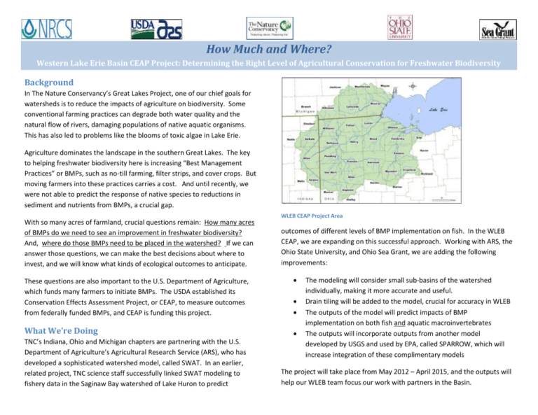
How Much and Where? Western Lake Erie Basin CEAP Project: Determining the Right Level of Agricultural Conservation for Freshwater Biodiversity Background In The Nature Conservancy’s Great Lakes Project, one of our chief goals for watersheds is to reduce the impacts of agriculture on biodiversity. Some conventional farming practices can degrade both water quality and the natural flow of rivers, damaging populations of native aquatic organisms. This has also led to problems like the blooms of toxic algae in Lake Erie. Agriculture dominates the landscape in the southern Great Lakes. The key to helping freshwater biodiversity here is increasing “Best Management Practices” or BMPs, such as no-till farming, filter strips, and cover crops. But moving farmers into these practices carries a cost. And until recently, we were not able to predict the response of native species to reductions in sediment and nutrients from BMPs, a crucial gap. With so many acres of farmland, crucial questions remain: How many acres of BMPs do we need to see an improvement in freshwater biodiversity? And, where do those BMPs need to be placed in the watershed? If we can answer those questions, we can make the best decisions about where to invest, and we will know what kinds of ecological outcomes to anticipate. WLEB CEAP Project Area outcomes of different levels of BMP implementation on fish. In the WLEB CEAP, we are expanding on this successful approach. Working with ARS, the Ohio State University, and Ohio Sea Grant, we are adding the following improvements: These questions are also important to the U.S. Department of Agriculture, which funds many farmers to initiate BMPs. The USDA established its Conservation Effects Assessment Project, or CEAP, to measure outcomes from federally funded BMPs, and CEAP is funding this project. What We’re Doing TNC’s Indiana, Ohio and Michigan chapters are partnering with the U.S. Department of Agriculture’s Agricultural Research Service (ARS), who has developed a sophisticated watershed model, called SWAT. In an earlier, related project, TNC science staff successfully linked SWAT modeling to fishery data in the Saginaw Bay watershed of Lake Huron to predict The modeling will consider small sub-basins of the watershed individually, making it more accurate and useful. Drain tiling will be added to the model, crucial for accuracy in WLEB The outputs of the model will predict impacts of BMP implementation on both fish and aquatic macroinvertebrates The outputs will incorporate outputs from another model developed by USGS and used by EPA, called SPARROW, which will increase integration of these complimentary models The project will take place from May 2012 – April 2015, and the outputs will help our WLEB team focus our work with partners in the Basin.
