Name: Class: ______ Date: Unit 2 / CA Review Migration
advertisement
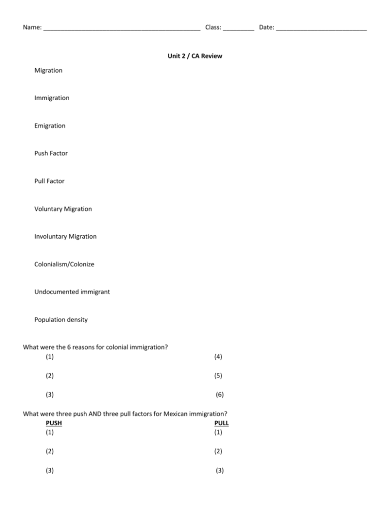
Name: _____________________________________________ Class: _________ Date: __________________________ Unit 2 / CA Review Migration Immigration Emigration Push Factor Pull Factor Voluntary Migration Involuntary Migration Colonialism/Colonize Undocumented immigrant Population density What were the 6 reasons for colonial immigration? (1) (4) (2) (5) (3) (6) What were three push AND three pull factors for Mexican immigration? PUSH PULL (1) (1) (2) (2) (3) (3) 1. Which state is northwest of Ohio (OH), east of Wisconsin (WI), and 200 miles west of Lake Ontario?__________________________________________________________________________ 2. Which city is located at (44*N, 100*W)? _____________________________________________ 3. What is the absolute location of Houston, TX? _______________________________________ 4. What is the absolute location of Pierre, South Dakota? _________________________________ 1. What is the absolute location of Peru? __________________________________________ 2. What is the absolute location of the Falkland Islands? __________________________________________ 3. What country is located at (55*S, 37*W)? __________________________________________ Population Density: 1. A _______________________ population density means that ________________ people live close together. 2. A _______________________ population density means that ________________ people live close together. Give an example of each kind area: 1. 2. Who might use a population density map? Why would they use? What is cultural diffusion? What are some examples we see of cultural diffusion? Country A Country B Country C Put the countries in order from highest population density to lowest: 1. ________________________ 2. ________________________ 3. ________________________ Look at the table. Use clues to determine which country goes with which data. Country Area Population 1,000,000 square miles 15,000,000 135,000 square miles 15,000,000 289,000 square miles 15,000,000 Zoom in! Country C: 1. Where is the population MOST dense? ___________________________________________________ 2. Fill in the population so that Country D country D is a country that has a smaller population density than country C. 3. Fill in the population so that Country E is a country that has a larger population density than country C, and the population is most dense on the east coast. Country E Country Area Population Country A 10,392,392 square miles 395,033,039 people Country B 3,203,393 square miles 392,394,293 people Country C 8,402,349 square miles 95,860 people 1. Which of the following is a false statement? a. Country A has a higher population density than Country B. b. Country C has the lowest population density. c. Country B has the highest population density. d. Country C has a higher population density than Country A. 2. Which part of the world has the highest population density? a. Northern Africa b. Eastern Australia c. Southern Asia d. Western North America 1. Draw THREE countries in the boxes. 2. Using the same number for all countries (population = ________), fill in the population. Country A Country B Country C Put the countries in order from highest population density to lowest: 4. ________________________ 5. ________________________ 6. ________________________ Create a table that makes sense using the countries that you drew. Country Area Population Country A Country B Country C Zoom in! Country C: 4. Where is the population MOST dense? ___________________________________________________ 5. Fill in the population so that Country D country D is a country that has a smaller population density than country C. 6. Fill in the population so that Country E is a country that has a larger population density than country C, AND the population is most dense on the east coast. Country E


