Homework #4 – Answers
advertisement
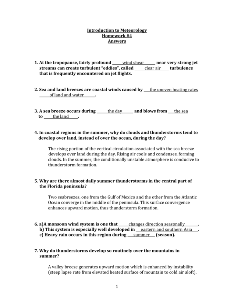
Introduction to Meteorology Homework #4 Answers 1. At the tropopause, fairly profound wind shear near very strong jet streams can create turbulent “eddies”, called clear air turbulence that is frequently encountered on jet flights. 2. Sea and land breezes are coastal winds caused by of land and water . 3. A sea breeze occurs during to the land . the day the uneven heating rates and blows from the sea 4. In coastal regions in the summer, why do clouds and thunderstorms tend to develop over land, instead of over the ocean, during the day? The rising portion of the vertical circulation associated with the sea breeze develops over land during the day. Rising air cools and condenses, forming clouds. In the summer, the conditionally unstable atmosphere is conducive to thunderstorm formation. 5. Why are there almost daily summer thunderstorms in the central part of the Florida peninsula? Two seabreezes, one from the Gulf of Mexico and the other from the Atlantic Ocean converge in the middle of the peninsula. This surface convergence enhances upward motion, thus thunderstorm formation. 6. a)A monsoon wind system is one that changes direction seasonally b) This system is especially well developed in eastern and southern Asia c) Heavy rain occurs in this region during summer (season). 7. Why do thunderstorms develop so routinely over the mountains in summer? A valley breeze generates upward motion which is enhanced by instability (steep lapse rate from elevated heated surface of mountain to cold air aloft). 1 . . 8. a) What are Chinook winds? b) Where in the U.S. are they most common and pronounced? a) Warm, dry winds descending along the leeward slopes of mountain ranges b) Eastern slopes of the Rocky Mountains 9. a) What are Santa Ana winds? b) How do they develop? a) Warm, dry wind that blows from the east or northeast into southern California b) Clockwise circulation around a high pressure system in the Great Basin forces air downslope (warms and dries) into Southern California 10. a) What is a “haboob”? b) Where do they occur? c) What type of weather event is responsible for generating a “haboob”? a) Huge, advancing cloud of sand and dust near the ground b) Deserts in Sudan of northern Africa (Sahara) and Arizona c) Thunderstorm (cold downdraft) 11. a) What is a “dust devil”? b) How do they differ from tornadoes? a) Small whirls of dust, dirt and sand b) They are much smaller and weaker, and last a shorter time than tornadoes 12. a) What is the “general circulation of the atmosphere”? b) What is it caused by? a) A well-defined circulation pattern detected by averaging global winds b) Uneven heating of earth’s surface 13. The equatorial band of clouds and precipitation is called the Intertropical Convergence Zone (ITCZ) . Clouds and precipitation form because the warm, humid air within this region is rising (vertical movement). 2 14. In what manner does this region shift with the seasons? It shifts with the region of maximal solar heating, north of the equator in Northern Hemisphere summer and south of the equator in NH winter. 15. The fair and warm weather systems which form to the north and south of this region are called Subtropical Highs (semipermanent) . Air is sinking (vertical movement) in these regions. 16. a) What is the portion of these systems which forms over the Atlantic Ocean called? b) During what season is this system strongest? c) How does this impact weather in the continental U.S. a) Bermuda High b) Summer c) Tends to be fair weather in summer. Humid and unstable with thunderstorms due to the clockwise circulation around the high bringing warm, humid air off the Gulf Stream and Gulf of Mexico inland. 17. a) Where are the “horse latitudes”? b) Why are they called that? a) Center of the Subtropical Highs b) Calm winds in these regions so ships got stuck and passengers were forced to eat or throw horses overboard. 18. The region in middle latitudes where cold polar air meets warm subtropical air is called the polar front. 19. a) What is a jet stream? b) Where does the strongest jet stream tend to form? Why? c) What happens to the jet stream as seasons change from winter to summer? a) A relatively narrow band of strong horizontal winds that encircles the earth at upper portions of the troposphere in middle latitudes (30 – 60°) b) At the polar front. Because this is where the temperature contrast is the greatest. Therefore, strongest PGF and strongest winds. c) They weaken and move north. 3 20. Warm ocean currents bring warm water poleward from the tropics along the east coast of continents (e.g. Gulf Stream) and cold currents bring cold water equatorward along the west coast of continents (e.g. California Current). 21. Why are thunderstorms rare along the West Coast of the U.S.? The California Current creates a stable atmosphere by cooling the surface. 22. In regard to El Niño, every 2-7 years the trade winds weaken or even reverse . This causes a reversal in surface water temperatures in the Pacific Ocean with the warmest water now over the central to eastern Pacific Ocean. 23. a) What are the weather impacts of ENSO for regions surrounding the Pacific Ocean? b) What is the impact of ENSO on global temperatures? a) During an El Niño year flooding is common in South America while drought is likely in Indonesia and Australia. During a La Niña year the opposite occurs b) Can rise by as much as 1°F from La Niña to El Niño years 24. What is an air mass? An extremely large body of air whose properties of temperature and moisture (humidity) are fairly similar in any horizontal direction at any given altitude 25. Air masses are classified according to their temperature into five basic types based upon their source region . and humidity 26. Cold waves in the U.S. are usually caused by an invasion of what air masses? Continental Polar and Continental Arctic 4 27. Lake effect snow occurs as frigid air accompanying a Continental Polar or Continental Arctic air mass travels over the warmer water of the Great Lakes . 28. In summer, clockwise flow around the Bermuda High frequently draws warm, humid Maritime Tropical air masses off the warm waters of the subtropical Atlantic Ocean and Gulf of Mexico into the central and eastern U.S. 29. Fronts are boundaries separating air masses of differing which can be due to differing temperature or moisture frequently both. densities but is 30. How are fronts named? Named for the temperature of the air mass that is “advancing” 31. Cold fronts are indicated on a surface weather map by a blue line with triangles pointing in the direction of movement of the front. Warm fronts are indicated by a red line with semicircles . 32. Cold fronts generally extend to the warm fronts extend to the east . west and south of surface lows and 33. Because of the gradual slope associated with warm fronts, precipitation tends to be lighter and fall over a larger area than cold fronts. 34. a) What is a stationary front? b) What is the typical precipitation pattern associated with these fronts? a) A front that is not moving b) Similar precipitation pattern to warm front 35. An occluded front occurs when the fast moving cold front to the slow moving warm front . 5 catches up 36. What is a midlatitude (extratropical) cyclone? A surface low pressure system that develops outside of the tropics (in the middle or high latitudes) 37. The key to the development of surface midlatitude cyclones and anticyclones is what is occurring at the tropopause , where the jet stream is located. 38. a) A surface cyclone will intensify if upper-level divergence outpaces surface convergence . b) What happens to the surface winds during this process? Why? They become stronger since a drop in surface pressure (cyclone intensifies) will create a stronger pressure gradient 39. Cyclones tend to develop on the trough and anticyclones on the eastern western side of an upper-level side. 40. a) What are Northeasters (Nor’easters)? b) How did they get their name? c) Why do these storms have a tendency to become very intense? a) Intense midlatitude cyclones that develop along the East Coast of the U.S., usually during winter. b) Associated with strong northeasterly winds due to the counterclockwise circulation around the surface low, which is located just off the coast c) Because of the strong temperature contrast in winter between the cold continental air (think cP or cA) and the warm Gulf Stream. 6
