Flood Advice Information Form - Wimmera Catchment Management
advertisement
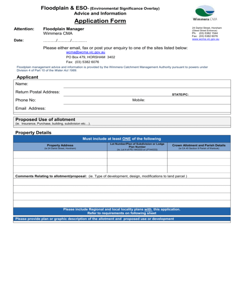
Floodplain & ESO- (Environmental Significance Overlay) Advice and Information Application Form Attention: Date: 24 Darlot Street, Horsham Floodplain Manager Wimmera CMA (Gleed Street Entrance) Ph: (03) 5382 1544 Fax: (03) 5382 6076 www.wcma.vic.gov.au ………/………/……..… Please either email, fax or post your enquiry to one of the sites listed below: wcma@wcma.vic.gov.au PO Box 479, HORSHAM 3402 Fax: (03) 5382 6076 Floodplain management advice and information is provided by the Wimmera Catchment Management Authority pursuant to powers under Division 4 of Part 10 of the Water Act 1989. Applicant Name: Return Postal Address: STATE/PC: Phone No: Mobile: Email Address: Proposed Use of allotment (ie. Insurance, Purchase, building, subdivision etc…). Property Details Must include at least ONE of the following Property Address (ie 24 Darlot Street, Horsham) Lot Number/Plan of Subdivision or Lodge Plan Number Crown Allotment and Parish Details (ie, Lot 4 of PS 1443333 or LP144333) (ie CA 45 Section 9 Parish of Wartook) Comments Relating to allotment/proposal: (ie. Type of development, design, modifications to land parcel ) Please include Regional and local locality plans with this application. Refer to requirements on following sheet Please provide plan or graphic description of the allotment and proposed use or development Diagram of Land Parcel along with position of any intended development. Information to be Provided by Applicants when Requesting Floodplain Advice and Flood Information The following information should be provided by the applicant, as applicable. This is an extensive checklist and not all items will be necessary for every application: The minimum information to be provided is as follows: Purpose of application, eg dwelling, shed, subdivision, earthworks (this is critical in order for us to provide an accurate response to your inquiry) Name and address of landowner Permit or reference number (if applicable) Property description; including street address, parish name, CA No, Section No, Lot No, LP or PS details An accurate sketch showing location of proposal on property, eg dwelling, earthworks An accurate locality plan of the property, showing existing property boundaries (and proposed subdivision boundaries if proposed) A regional locality plan to determine the property’s whereabouts within the catchment The following additional information may be required where applicable: Existing and proposed use of the site The number of people expected on site during normal operations An accurate locality plan of the property, including: - existing natural surface levels, including levels at the proposed building site and along the access-way to the property boundary - existing and proposed buildings, including floor levels - existing and proposed earthworks, including finished surface levels, embankment alignments and crest levels - existing and proposed fencing - existing and proposed road or access-way alignments and crest levels - existing and proposed drainage systems, including waterways, pipelines, drains, culverts and bridges - other important physical features upstream and downstream of the property that may affect flows, such as levee banks, fences and retaining walls
