the case of Chao Phraya River Basin
advertisement
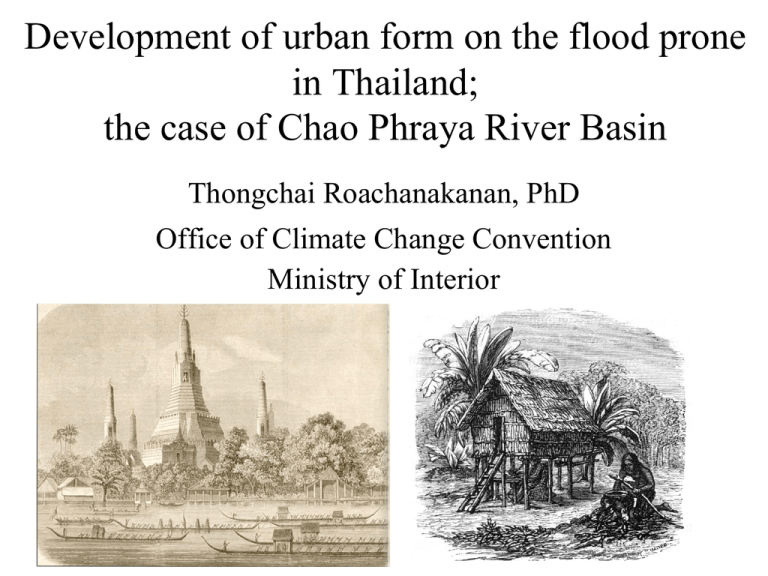
Development of urban form on the flood prone in Thailand; the case of Chao Phraya River Basin Thongchai Roachanakanan, PhD Office of Climate Change Convention Ministry of Interior Key Words • • • • • • • • Changes Fragile and Vulnerable Floodplain, Flood Risk Prone Natural Environment and Built Environment Cultural Environment & Touristic Urbanism Climate Change and Urban Disaster Adaptation and Mitigation Urban Climate Resilience Understand the natural environment and changes • A primary domain of tropical monsoon region is long period of raining season in association with a number of storms; typhoon and cyclone. • By the end of 19th century around 90% of the region was covered with tropical rain forest and a great variety of ecological systems. • Today only 25-30% of tropical rain forest still remain as a consequence of rapid deforestation. • Climate change and its impacts have become issues since the 1990s after natural disasters were obvious. Thai Society and Water-bound Settlements • For centuries Thai society has lived in harmony with nature on the floodplain. • Water-bound settlements were significant. • Modernization in the 20th gradually changed urban forms in the region. Floating Houses along the river Simple and functional forms for tropical living Living in harmony with natural environment Highland (Upstream) settlements Traditional Thai House (on Stilts) House on stilts has been a typical form; functional human adjustment to flood. A typical house form in the region The same principle and similar form can be seen in the southeast Asia; Laos, Cambodia, Vietnam. Most can be found in the remote villages. Urban forms have changed gradually since the early 19th century; according to western influences. Roads in Bangkok were only 12 km. long totally. Starting deterioration of upstream natural environment the northern railway development and logging industry Modern changes were concentrated in cities. Most activities were along the rivers. King Rama V opened Rangsit irrigation project on 18 November 1896 adopt policy on increasing rice production; the main income of the kingdom. In 1888 it was described that no settlement was found on the north and east of Bangkok. Homan Hiede, a Dutch engineer proposed a network of irrigation canal on the central plain north of Bangkok in 1910. Rangsit was a popular area for the westerners in the 1900s, built vacation houses. Bangkok has become a typical modern urban form. Urban forms were influenced by the west, from Singapore to Phuket and Bangkok. A few floating houses are functional on the river but many have disappeared. People move to city and town. Today water-bound settlements in the city Waterways in the cities are polluted. Touristic Urbanism; Fantastic urban forms!! Urban Design for Tourist Attraction Entertainment; amazing Thailand!!! New cultural environment??? Hako; Japanese town in Bangkok From Pattaya to Phuket; Touristic Urban Forms Understand “Cultural Environment” another fragile social fabric!!! Cultural environment is collection of social values and local heritages. Reflection of local belief and myth A question; what people believe today? Culture is becoming commercial show!! As tourist attraction!! Something cannot be copied or duplicated. Awareness of Cultural Values Certainly, it is not a show!! Once upon a time, Thai society was significant in terms of unity, extended family and sense of belonging. Close and warm family relations were impressive. Changes in Thai society; single family The aging members are abandoned and left alone (sometimes in the street). Thailand is approaching aging society!!! Sense of belong is disappearing; fragile society. The portion aging people is increasing awfully!!! Condos are booming as a reflection of change. New urban form!!! as a dream of young generation; struggle for convenient life in the city Consequences; complicated urban problems Big cities are consuming more energy and resources. Global warming has become international issue since 1992; impacts of climate change. Climate change is becoming more critical. Concentration is on natural disaster; flood, drought, landslide and storms. A term of “Urban Disaster” has been classified. Disaster is caused by nature or man? “Fragile” and “Vulnerable” are included. Basic principle; avoid any development in risk prone area. Application of Disaster Risk Index Attempts to cope with urban disaster risk. Identify disaster risk prone; making risk maps. All vulnerable communities are shown on map. Fragile ecological systems are not included. Understand ecological systems & the most fragile natural environment Understand regional ecology Fragile ecological systems and vulnerable food-chains Biological diversities are environmental indicators. The greatest rainfalls and fresh water ecological systems on earth!!! Searching for a better balance; man and nature Environmental deterioration is caused by urbanization mainly. The increasing flood events around the world. More urban population in disaster risk prone. Urban flood risk management options Urban climate resilience; an alternative? Thank you


