Click here to the draft field report
advertisement
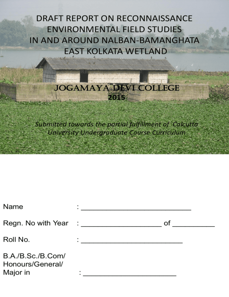
DRAFT REPORT ON RECONNAISSANCE ENVIRONMENTAL FIELD STUDIES IN AND AROUND NALBAN-BAMANGHATA EAST KOLKATA WETLAND JOGAMAYA DEVI COLLEGE 2015 Submitted towards the partial fulfillment of Calcutta University Undergraduate Course Curriculum Name : __________________________ Regn. No with Year : ___________________ of __________ Roll No. : ________________________ B.A./B.Sc./B.Com/ Honours/General/ Major in : ______________________ PASTE THE COUNTERSIGNED PHOTOCOPY OF REGISTRATION CERTIFICATE HERE INSTRUCTIONS •Students are advised to download the draft report (Part-I & II) from Notice Board of Jogamaya Devi College website on or after 29th January, 2015 (18.00 Hrs.) available at: http://www.jogamayadevicollege.org/ • Date of submission of final report: •Science Students : Feb. 2-3 •Arts Students : Feb. 4-5 •Commerce Students: Feb. 9-10 •Venue for submission: Room No. 3, New Building, Jogamaya Devi College •Time: 8am to 11.00 am (each day). •This draft project report on Environmental Field Studies attempts to offer guidelines for student participants for preparing a final report, individually. This report is compiled by faculties based on field data (collected during field visit till 21 January, 2015), published reports, unpublished field reports and additional sources. •Students are encouraged to improve this draft report with the input of additional data, field photographs, illustration(s), detailed observation…etc (if there is any) that may be included in PART-II of their final Field Report. •Students are instructed to enter their Name, Regn. No. with Year, Roll No. and Subject Combination in the front page of the final report. •Format for Report: (A4 pages: typed/hand-written/ channel bound/spiral bound). •Additional input in Part-II would be appreciated. •Final Report should include: •Cover page (with student particulars filled therein). • PART-I CONTENT INTRODUCTION STUDY AREA OBJECTIVE METHODOLOGY OBSERVATION DISCUSSION & CONCLUSION ACKNOWLEDGEMENT REFERENCES PAGE INTRODUCTION Compulsory Field Work for Environmental Studies 2014-15 was held in parts of EAST KOLKATA WETLANDS (EKW) situated in the vicinity of Kolkata metropolis (Fig. 1) during the 16-18 December, 2014 and 20-21 February, 2015 towards the partial fulfillment of UG Courses under Calcutta University Course Curriculum. The area provides ample opportunity for environmental studies. This wetland forms a part of Sundarban Delta and constitute a significant wetland ecosystem. EKW occupies a special position for it nurtures the world’s largest wastewater fed aqua culture system. In addition to fisheries, this wetland offers a cheap, efficient and eco-friendly operating system of solid waste disposal and sewer treatment for Kolkata metropolis. It caters to the snowballing demand of Kolkata metropolis, for fish protein, vegetables and other commodities. Even a self sustaining socio-economic structure may be seen to operate in this ecospace. EKW also serves as the lungs and kidneys of ailing, urbane Kolkata. Our reconnaissance field study in parts of EKW may help to identify major and minor conflicts intrinsic in the system to suggest probable remedial proposals in the long run, so that the dynamic equilibrium is restored/maintained in the environment gradient. EKW has been declared a RAMSAR site since 2002. To stop further deterioration of the system as also to restore its native state, the East Kolkata Wetlands Management Authority, Department of Environment, Govt. of West Bengal have prepared a comprehensive and Integrated Management Plan in keeping with basic guidelines of the Ramsar Convention (1971), and started implementing it. Objective assessment of the facts and figures, relentless monitoring of control factors in this system is a dire necessity. Academic Institutions may employ their resources to work in unison with other welfare bodies and Government authorities towards a good end. STUDY AREA The study area forms a part of East Kolkata Wetlands (EKW) lying between 22.480° ‘N to 22.525°'N and 88.46° ‘E to 88.62° ‘E, (Fig.1). Wetlands are defined as areas of earth, fen, peat land and water body, where one would find natural/ artificial, permanent/ temporary, stagnant/ flowing, freshwater/ brackish/ saline/ marine water. Water table is usually at or near the surface or the land is covered by shallow water. The multifunctional EKW ecosystem consists of an area of 12,500 hectares with about 254 sewage fed fisheries, small agricultural plots and solid waste farms. Besides, there are some built up areas also. •EKW supports a diverse fauna (both native and cultured) and bring about myriad benefits to mankind, providing opportunities for cultivation, sewage fed fisheries, urban waste disposal and recreation. Fig. 1: Location Map of the Study Area Showing Waypoints OBJECTIVE: Reconnaissance environmental field study was aimed at learning the basic approaches and field techniques of environment studies to develop a basic understanding of the ecology of the studied wetland system and to prepare an assay on the socio-economic aspects in and around the study area. METHODOLOGY- Ecological Studies 1. pH of the water is measured by digital pH meter and litmus paper. 2. Salinity of water is measured by digital salinometer. . 3. Soil temperature is measured by soil thermometer. 4. Transparency of water is measured by Secchi Disc. 4. Dissolved solutes were measured by TDS meter. 5. Floral and faunal documentations were made during field traverse. Aquatic fauna was studied on specimens, as collected by plankton net. 6. Location for individual study points is recorded by GPS. 7. Traverse details , waypoints and maps are documented from GoogleEarth (See Fig. 1). 8. Photographs, diagrams, write up etc. are processed using MSOffice-2007 and CORELDRAW-11. 1. Ecological Observations •Field study involves collection of field data (Table-1) on soil temperature, water salinity, transparency and pH conditions in classified water bodies (feeder canal, sediment settling tanks, fish rearing ponds, partially submerged lands etc.) . •Few field documentation of plant/animal and/or their activities were recorded in the study area (Fig.2A-F). •A number of cultured fishes (Table-2) were identified along the field traverses and from fishing net. Field Data collected from field traverses during Ecological Studies are given in Tables below: Table-1. Water Quality in different water bodies. New Data: GPS LK-1 LK-2 LK-3 LK-4 Description Main Feeder Canal Main Feeder Canal Main Feeder Canal Main Feeder Canal pH 7.8 7.6 7.7 8.5 TDS 824 820 831 1050 Transparency (inches) - Temp. (Water) 22.5 21.5 21.4 20.9 Temp. (Soil) - Salinity 1 1 1 1 TABLE-2. Animal Fauna recognized in Sewage-Fed Fisheries of EKW (including cultivable fishes) Sl. Species Short description 1 MRIGAL 2 SILVER CARP 3 PUNTI 4 MAGUR 5 LATA 6 TILAPIA (Niloticus) A linear body, small head with blunt snout, mouth with thin non-fringed lips. Two barbles present on the upper jaw, caudal fin forked, head scaleless. They are bottom feeder. This exotic fish was introduced in India in 1959 from Honkong. This fish has laterally compressed body with thin lips in the mouth. Body bears very thin small shiny scales, caudal fin forked, head scaleless. They are surface feeder. Small laterally compressed body, abdomen rounded, small head with thin lips, barbels present. Caudal fin forked, head scaleless. They are bottom feeder. Elongated scaleless body, head dorsoventrally compressed, head bears 8 barbels, dorsal fin is continuous, caudal fin rounded. They are bottom feeder and prefer muddy water. Head snake like, dorsal fin long, without spine, caudal fin rounded, body elongated and subcylindrical, head with scales. They prefer muddy stagnant ponds or ditches. Body laterally compressed, body is thick and broad, large mouth opening, fins are well developed, coloured patches on the body. They are found in ponds with rich organic matter. Few examples of faunal elements documented from EKW Fig.1- swamp eel burrow in nutrient rich sewage canal Fig.3- Lemna minor Fig.5- Common freshwater invertebrates Fig.2 - typical catch of cultured fishes from EKW. Fig.4- Ant colony on dry pond bottom Fig.6- Worm activity on soft mud. DISCUSSION & CONCLUSION •The study area reveals human interference on natural fauna. •Naturally stressed wetland fauna is further challenged with human interferences. •Water parameters changes rapidly within a short distance, as induced by local input of household waste (all along the main feeder canal). Sewage fed fisheries and integrated farming schedule is also responsible for local variation of water parameters. Such quick changes are unnatural and, as such, inhospitable except for tolerant taxa. •Natural fauna is represented by benthic invertebrates (dominantly mollusks, Crustaceans, worms and annelids, rare fishes), birds and wetland vegetation (other than cultivated crops). •Cultured fishes and crops provide partial sustenance to local people and cater the demand of local food market. •Sewage fed fisheries and associated integrated farming through indigenous method helps improve the quality of water and air in the ambience. •In-depth rigorous study is required to understand and suggest improvement options as regards the ecological and socioeconomic problems intrinsic in the study area. SOCIO-ECONOMIC STUDY *Commerce Students may attach their datasheet in Part-II section of this report in support of their study. A Socio-economic survey was conducted by the students of B.Com 3rd year Hons & General students on 20.01.2015 at village Haripota, P.S. Bhangar under 24 pgs (south). The survey revealed that about 90% of the village adults are in disguised unemployment. Almost all of them are dependent on agriculture and fisheries. Remaining population is at their domestic job. About 60% of the people are literate and only 10% of them having studies up to class VIII level. Out of the total population less than 1% has reached the college level. The economy of the village largely depends on sewage fed fishery and complimentary agriculture. Still these are uncertain means for sustenance. Agriculture is dependent on rain water. No alternative source of irrigation is there. Fishery is the major source of income. About 80% of the adult population work in fisheries on the basis of daily wages. The fisheries of the locality are dependent of the Sweage of Kolkata metropolitan area. In fact the village Haripota, which falls under East Kolkata Wetland feed the lungs of Kolkata by providing Oxygen and absorbing domestic, industries and hospital wastes. The survey revealed that there is potency to establish ‘Molasses’ industry or producing ‘Nalen Gur’ as there is huge number of dates. Most of the village people depend on poultry and cattle for their side income. There is no arrangement for recreation except dish TVs. The village is only 10 km away from Kolkata. But it is still in the primitive age. There is not sufficient arrangement for schooling of the children. No hospital nearby. Even no reliable transport system. People of the village live in a very wretched condition from both economic and social point of view. Acknowledgements: College Administration, Faculties and Staff of Jogamaya Devi College are acknowledged for providing logistic help and academic guidance. Word of appreciation for people, in and around Bamaghata for co-operation towards data retrieval on their socio-economic profile. References: •East Calcutta Wetland management Authority Link: http://www.ekwma.com/index.php?view=default&MenuID=20 • Ghosh, D., 2005. Ecology and Traditional Wetland PracticeLessons from Wastewater Utilization in the East Calcutta Wetlands. Worldview, pp. 120. • Saha, T.,…Wise Use of Wetland: East Kolkata Wetland, A case Study. Departmental Note, Institute of Environmental Studies and Ecological Design, p. 1-8. • Sarkar, S. et al., 2009. Sewage Treatment in a single pond system at East Kolkata Wetland, India. Water Science & Technology, p. 2309-2317. •Mitra, B., Das, S.K. and Bja, D., 2001. Wetland Ecosystem Field Guide. •Z.S.I. Publ., 2006. Utilization of Waste Water Wetlands and Biological Modules for its Conservation. •Chakarborty, S., East Calcutta Wetlands - its significant preservation, protection and developments. PART-II PASTE THE PHOTOCOPY OF THE SIGNED PAGE OF YOUR FIELD NOTE HERE Add page(s) to include your personal observation, Data-sheet (for Commerce Students, in particular), illustration(field photographs, sketches, diagrams etc), if there is any.

