Local Government Data Model - the Atlanta Regional Commission
advertisement
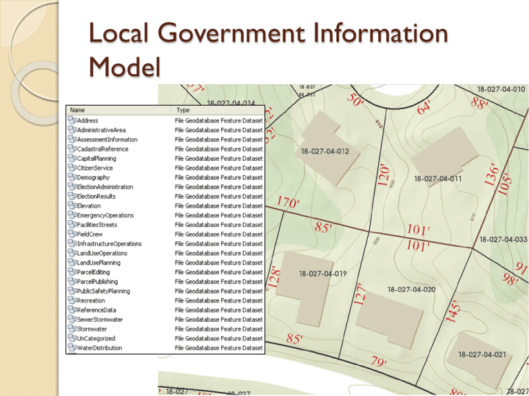
Local Government Information Model Why? Supports data sharing between local governments and regional, state, and federal agencies Modern data structure following national standards Election App Property Value Service Request Advantages Plug-in Maps and Apps ◦ App store for ArcGIS Support from ESRI ◦ Apps and model move to latest release Many organizations with same structure ◦ Shared enhancements ◦ Shared knowledge Disadvantages Less customizations Adds complexity Requires ArcGIS Server Tables and fields irellevant for Atlanta area You must do it the ESRI way Transition Current version requires ArcGIS 10 Download layer package and load into geodatabase Create temporary staging tables Load data into staging tables and format for loading Load data from staging tables into local government geodatabase Example Apps Local Government basemaps Infrastructure Land Records Elections Public Safety Planning and Development Facilities and Campus Public Works THE PARCEL FABRIC Parcel Fabric Maintains dimensions of each parcel separately Strict topology rules Uses least squares adjustment and control points for spatial accuracy Lines are used to create polygons Coincidental boundaries 82 ft 87 ft 45 46 Same line from different surveys Adjustments are based on accuracy of data When to use the Parcel Fabric Spatial accuracy is critical ◦ Parcels in the same layer have different levels of accuracy ◦ Accuracy needs to get better with new accurate data Layer has good topology before import Each parcel needs to preserve its original geometry and history You aren’t in a hurry When not to use the Fabric Quick adjustments are required Original data isn’t clean You need easy access to parcel layer No ground control points What’s a COGO? Where is DeKalb Today? Migrated legacy data out of old data model Internal web maps using new data model Received initial delivery of data from parcel conversion Testing fabric with work flows Waiting on ArcMap 10.1
