presentation (which includes detailed notes).
advertisement
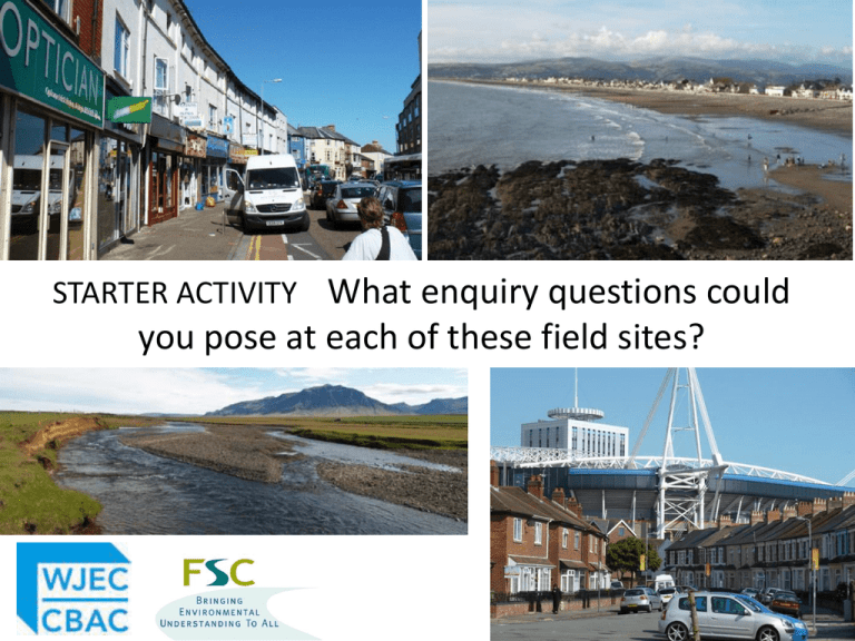
STARTER ACTIVITY What enquiry questions could you pose at each of these field sites? The future assessment of fieldwork Rob Lucas Chief Executive, Field Studies Council Sponsored by WJEC Qualification reform 2014 2015 Start teaching reformed GCSE and new GCE Final controlled assessment First assessment reformed GCSE and new GCE 2016 2017 2018 Timeline for development of new geography qualifications reformed GCSE criteria published Spring 2014 reformed GCSE and new GCE specifications available GCE consultation Summer Autumn Spring 2014 2014 2015 Summer 2015 First teaching Autumn Spring 2015 2016 Awarding Organisations develop new specifications Launch and CPD for new specifications Summer 2016 Autumn 2016 What is the position of fieldwork in reformed GCSE? “Fieldwork is crucial to the strong role envisaged for geography in the revised and more challenging curriculum at all levels” “The scheme of assessment must include an identifiable element or elements assessing fieldwork. This must include assessment of students’ own experiences of fieldwork” “Fieldwork will be assessed though examination only. It will comprise 15% of the total assessment weighting” Presentation aims 1. Get students thinking geographically throughout the enquiry process with a view to improving current and future assessment outcomes • Explore strategies for engaging students in fieldwork enquiry • Analyse Assessment Objective (AO) weightings and consider what these tell us about possible future models of assessment of fieldwork What is fieldwork for? 1 awe and wonder Provoke and raise curiosity Respect for nature and care for the state of the planet What is fieldwork for? 2 collaborative working Enable learners to co-operate, participate and take responsibility What is fieldwork for? 3 enactive learning Enable learners to engage with understanding of broad scientific principles such as spatial patterns, change, and sustainability What is fieldwork for? 4 learning to think like a geographer Engaging learners in the enquiry process A deficit model of fieldwork? Question Plan Observe Review Collect Record Apply Represent Analyse In some cases learners have one opportunity to get this right Transmission > tasks Work scientifically > think geographically Question Plan Observe Review Collect Record Apply Represent Analyse Acknowledgement: Margaret Roberts Creating a need to know Using data Asking questions to: Using primary & secondary data to: Identify issues / problems Locate / contextualise the enquiry Be creative Collect evidence Hypothesise Select evidence Make links with existing geographical knowledge Represent the evidence Reflecting on learning Making sense To be critical in relation to: Query the evidence to: Data sources Analyse Techniques used / sampling strategies Recognise relationships Reach conclusions Stakeholder views Make decisions / solve problems How the enquiry could be improved Relate findings to existing knowledge The value of what was learnt Closed task Framed enquiry Independent enquiry Decisions about fieldwork procedure are made by teachers. Data is presented as authoritative evidence. Decisions about fieldwork procedure are made largely by teachers. Data is presented as information to be interpreted. Students are involved in key decisions about fieldwork procedure and data sources. Activities devised by teacher to achieve predetermined objectives. Students follow instructions. Methods of representation are open to discussion and choice. Analysis is independent. Students independently analyse evidence and make decisions / reach conclusions. Reflection Predictable outcomes. Students discuss what they Students consider the have learnt; different validity of evidence / outcomes. reliability of data and methods. Data Enquiry questions are Students decide enquiry selected by teacher but are questions, framed by explicit. teacher input. Making sense Questions A task is presented. Questions are not explicit. Acknowledgement: Margaret Roberts THINKING LIKE A GEOGRAPHER STRATEGIES TO DEVELOP STUDENT’S UNDERSTANDING OF THE ENQUIRY PROCESS Top Trumps • Used to develop understanding of locations and environments • Application of understanding • Development of sampling strategies Taunton Minehead Bishops Lydeard Watchet Population: 58241 Population: 11699 Population: 1975 Population: 3710 People per hectare: 35.04 People per hectare: 30.00 People per hectare: 37.98 People per hectare: 40.33 Mean age: % homes owned outright: 38 70.48 Williton Mean age: % homes owned outright: 47 53.65 Wiveliscombe Mean age: % homes owned outright: 42 68.94 Carhampton Mean age: % homes owned outright: 41 61.53 Dunster Population: 2599 Population: 2084 Population: 780 Population: 489 People per hectare: 27.36 People per hectare: 35.32 People per hectare: 29.17 People per hectare: 21.03 Mean age: 44 Mean age: % homes owned outright: 38.37 % homes owned outright: Mean age: % homes owned outright: 48 59.41 Mean age: % homes owned outright: 42 67.07 49 43.27 Interception Interception Interception Interception Evapotranspiration Interception Stem-flow Stem-flow Stem-flow Evapotranspiration Stem-flow Run-off Infiltration Infiltration Infiltration Stem-flow Infiltration Throughflow Throughflow Throughflow Throughflow Infiltration Infiltration Dew point Condensation Run-off Run-off Saturation Saturation Interception Interception Interception Interception Evapotranspiration Interception Stem-flow Stem-flow Stem-flow Evapotranspiration Stem-flow Run-off Infiltration Infiltration Infiltration Stem-flow Infiltration Throughflow Throughflow Throughflow Throughflow Infiltration Infiltration Dew point Condensation Run-off Run-off Saturation Saturation Observation skills • Verbal field sketches • ‘Geography Parrot’ • Breaking News Verbal field sketches • In pairs facing each other • Person A describes. Person B marks according to a predefined mark scheme • The twist..... Person A is describing the landscape behind them, without looking. ‘Geography Parrot’ • Only ever says one sentence... • Encourages next steps on from labels in field sketches • Begins to consider – Processes – Consequences – Implications – Future scenarios So what? ‘Breaking News’ • Either as preparation to the study or on-site • News Headlines • Brief summary • Information (including details/facts) • Analysis • Letters to the Editor Developing Questions • Questions are generated through observation • Best done prior to fieldwork to enable ‘whole enquiry’ approach • In-situ questioning allows ‘anomalies’ to be identified Assessment of fieldwork Which parts of the enquiry process do we assess / could we assess? Acknowledgement: Margaret Roberts Creating a need to know Using data Asking questions to: Using primary & secondary data to: Identify issues / problems Locate / contextualise the enquiry Be creative Collect evidence Hypothesise Select evidence Make links with existing geographical knowledge Represent the evidence Does assessment of AO3 focus our attention on a Reflecting on learning sub-set of fieldwork Making sense skills? To be critical in relation to: Query the evidence to: Analyse Recognise relationships Reach conclusions Make decisions / solve problems Relate findings to existing knowledge Data sources Could we assess this sub-set Techniques used / sampling of skills using other strategies assessment models? Stakeholder views How the enquiry could be improved The value of what was learnt Acknowledgement: Margaret Roberts Creating a need to know Using data Asking questions to: Using primary & secondary data to: Identify issues / problems Locate / contextualise the enquiry Be creative Collect evidence Hypothesise Make links with existing geographical knowledge Reach conclusions Reflecting on learning To be critical in relation to: Data sources Techniques used / sampling strategies Do we provide Select evidence opportunities forthe evidence Represent students to demonstrate that they can apply their wider Making geographical sense understanding to the Query the evidence to: study area – what we Analyse currently term AO2? Recognise relationships Stakeholder views Make decisions / solve problems How the enquiry could be improved Relate findings to existing knowledge The value of what was learnt How do students access AO2 in their fieldwork enquiry? How many of you have visited the Lingen Alps in Norway? Which of these photographs was taken nearest the source? HOW DID YOU KNOW? Application of knowledge and understanding Grade C description AO1 Candidates recall, select and communicate knowledge and understanding of places, environments, concepts and locations across different scales. They use geographical terminology appropriately. AO2 They apply their knowledge and understanding of geographical concepts, processes and patterns in a variety of both familiar and unfamiliar physical and human contexts. They understand relationships between people and the environment, identifying and explaining different problems and issues and making geographical decisions that are supported by reasons, including sustainable approaches. AO3 They select and use a variety of skills, and appropriate techniques and technologies to identify questions and issues to undertake investigations. They collect and record appropriate evidence from different sources, including fieldwork. They analyse and interpret evidence and recognise some of the limitations of evidence to reach plausible conclusions. Rivers follow a typical pattern source mouth discharge friction smallest greatest Sediment size greatest greatest smallest smallest Not all rivers are typical Start with the application (AO2) What are the wider geographical issues, concepts or processes that underpin the enquiry in this specific place? Inner urban regeneration Quality of life Sphere of influence Gentrification Positive and negative externalities Significant changes to AO weightings in fieldwork GCSE WJEC CA weightings reformed GCSE Fieldwork AOs What are the implications when the weighting for Application is increased and skills decreased? 15% of all assessment 25% of all assessment Knowledge & understanding Application Geographical skills Other presentations that may interest TUESDAY 16.30–17.20 Lecture Plus 5 Do Iceland’s volcanoes pose a threat to the UK? KS3–P16 Dr John Stevenson, RSE/Scottish Government Personal Research Fellow, University of Edinburgh WEDNESDAY 09.00–09.50 Lecture 15 WEDNESDAY 11.45–12.35 Workshop 41 Geography through enquiry KS3–P16 Margaret Roberts, Past President, Geographical Association Fieldwork beyond the textbook KS3–P16 Presented by Nick Lapthorn, Chair GA Fieldwork and Outdoor Learning Special Interest Group
