GOES_R_CIMSS_Overview_FLS_2014
advertisement
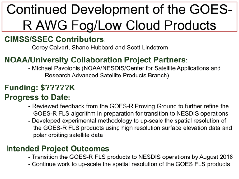
Continued Development of the GOESR AWG Fog/Low Cloud Products CIMSS/SSEC Contributors: - Corey Calvert, Shane Hubbard and Scott Lindstrom NOAA/University Collaboration Project Partners: - Michael Pavolonis (NOAA/NESDIS/Center for Satellite Applications and Research Advanced Satellite Products Branch) Funding: $?????K Progress to Date: - Reviewed feedback from the GOES-R Proving Ground to further refine the GOES-R FLS algorithm in preparation for transition to NESDIS operations - Developed experimental methodology to up-scale the spatial resolution of the GOES-R FLS products using high resolution surface elevation data and polar orbiting satellite data Intended Project Outcomes - Transition the GOES-R FLS products to NESDIS operations by August 2016 - Continue work to up-scale the spatial resolution of the GOES FLS products Up-scaling GOES Spatial Resolution High resolution Low resolution Fog Fog • • • Fog Due to the lack of spatial resolution, detailed detection of small-scale fog is difficult using GOES Surface elevation data (0.5 km) can be used to create a ‘valleyness’ metric (right) to identify valleys where fog commonly occurs This ‘valleyness’ metric, along with LEO data (e.g., MODIS/SNPP) can be used to up-convert the lowresolution GOES IFR probability product High resolution Blue/green indicates mountains Red/orange indicates valleys Up-scaling GOES Spatial Resolution • The high resolution ‘valleyness’ metric, along with SNPP data, is used to focus sub-pixel satellite signals from GOES to where fog is most likely present • This methodology will allow the GOES-R FLS products to more accurately detect small-scale areas of valley fog • This should also help future fog alerting capabilities as fog starts to form before becoming more widespread SNPP RGB Original GOES Modified GOES
